Mechanicsville in St. Mary's County, Maryland — The American Northeast (Mid-Atlantic)
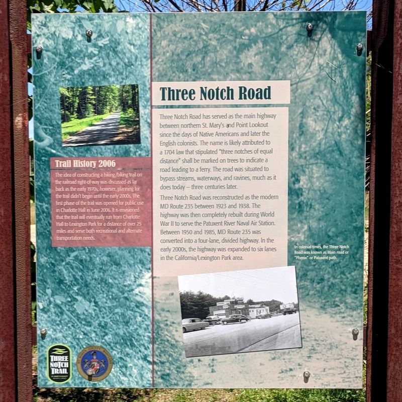
Three Notch Road
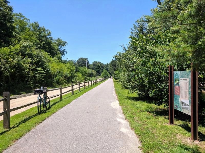
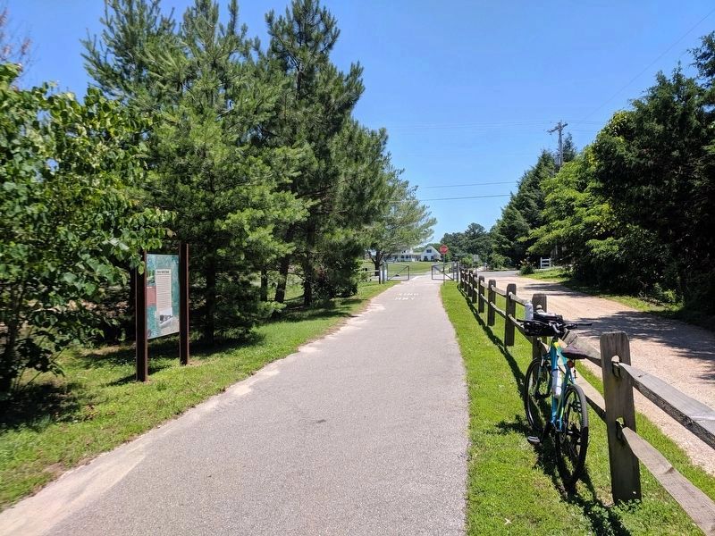
Three Notch Trail
Three Notch Road was reconstructed as the modern MD Route 235 between 1923 and 1938. The highway was then completely rebuilt during World War II to serve the Patuxent River Naval Air Station. Between 1950 and 1985, MD Route 235 was converted into a four-lane, divided highway. In the early 2000s, the highway was expanded to six lanes in the California/Lexington Park area.
(caption)
In colonial times, the Three Notch Road was known as Main road or "Phenix" or Patuxent path.
Trail History 2006
The idea of constructing a hiking/biking trail on the railroad right-of-way was discussed as far back as the early 1970s; however, planning for the trail didn't begin until the early 2000s. The first phase of the trail was opened for public use in Charlotte Hall in June 2006. It is envisioned that the trail will eventually run from Charlotte Hall to Lexington Park for a distance of over 25 miles and serve both recreational and alternate transportation needs.
Erected by Three Notch Trail.
Topics. This historical marker is listed in these topic lists: Colonial Era • Railroads & Streetcars • Roads & Vehicles. A significant historical year for this entry is 1704.
Location. 38° 24.898′ N, 76° 41.715′ W. Marker is in Mechanicsville, Maryland, in St. Mary's County. Marker can be reached from Morganza Turner Road, 0.2 miles south of Three Notch Road (Maryland Route 235), on the right when traveling south. Located on the Three Notch Trail. Touch for map. Marker is in this post office area: Mechanicsville MD 20659, United States of America. Touch for directions.
Other nearby markers. At least 8 other markers are within 4 miles of this marker, measured as the crow flies. Tobacco Barns (approx. 0.7 miles away); a different marker also named "Three Notch Road" (approx. 1.1 miles away); Three Notch Trail (approx. 1.4 miles away); Forest Hall (approx. 1˝ miles away); De La Brooke Manor (approx. 1˝ miles away); Extending the Rail (approx. 2.3 miles away); Veterans of Helen Memorial (approx. 2˝ miles away); Village of Mechanicsville (approx. 3.1 miles away). Touch for a list and map of all markers in Mechanicsville.
Credits. This page was last revised on June 16, 2019. It was originally submitted on June 16, 2019, by Bernard Fisher of Richmond, Virginia. This page has been viewed 315 times since then and 37 times this year. Photos: 1, 2, 3. submitted on June 16, 2019, by Bernard Fisher of Richmond, Virginia.


