Pottersville, Saint George, Dominica — Caribbean Region of the Americas (Lesser Antilles of the West Indies)
Pottersville
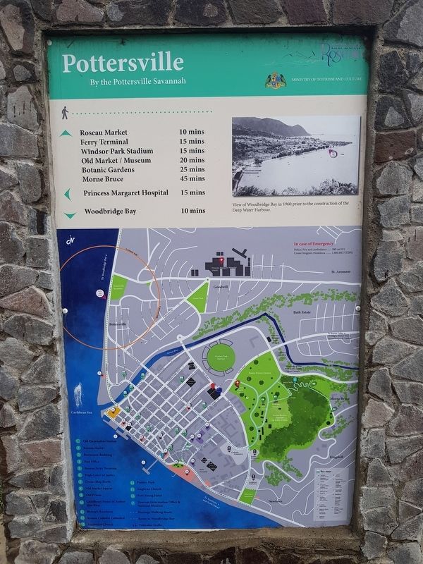
By the Pottersville Savannah
— Explore Roseau —
By the Pottersville Savannah
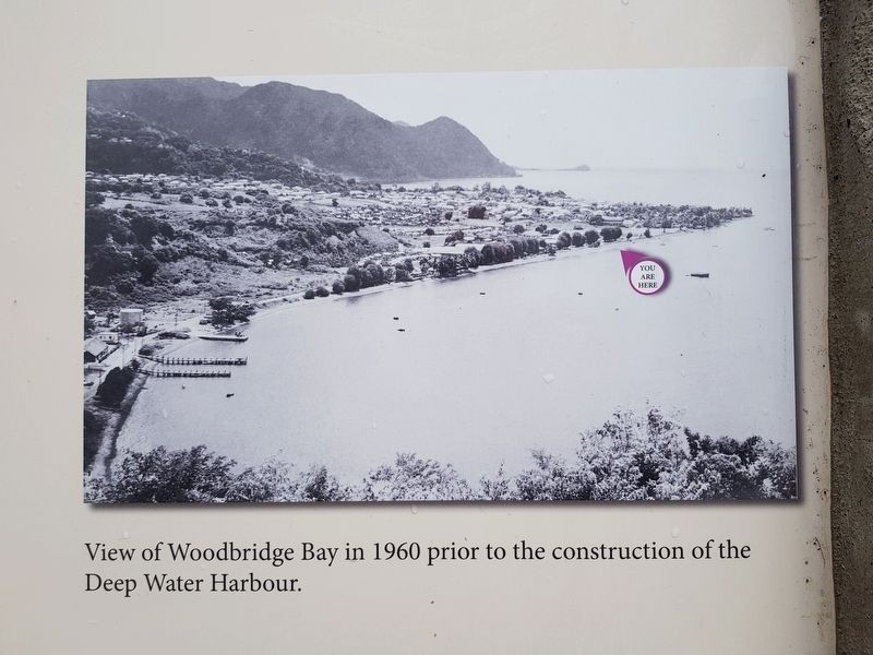
View of Woodbridge Bay in 1960 prior to the construction of the Deep Water Harbour.
Walking distances to various historic sites and landmarks
Map, key and emergency information
French:
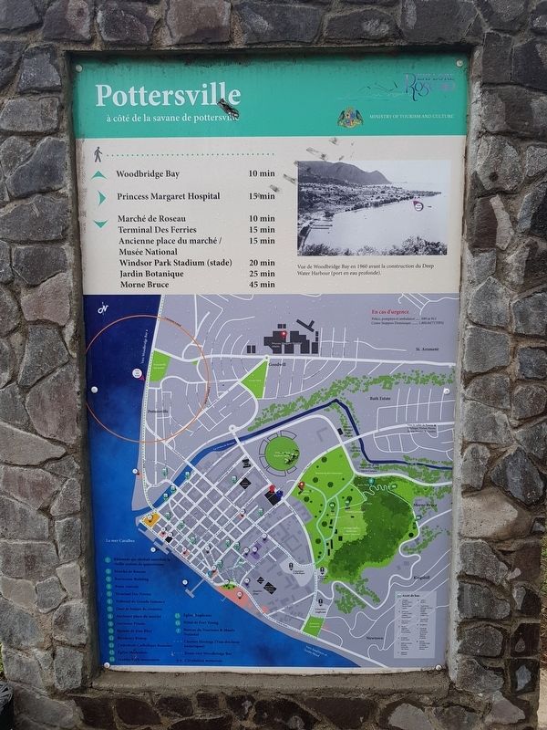
Pottersville
à côté de la savane de pottersville
Vue de Woodbridge Bay en 1960 avant la construction du Deep Water Harbour (port en eau profonde).
Durée de la marche vers divers sites et monuments historiques
Clef de la carte et informations d’urgence
Erected by Ministry of Tourism and Culture.
Topics. This historical marker is listed in these topic lists: Man-Made Features • Waterways & Vessels. A significant historical year for this entry is 1960.
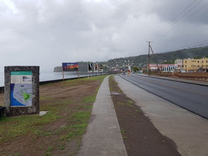
Location. 15° 18.289′ N, 61° 23.407′ W. Marker is in Pottersville, Saint George. Marker is on Goodwill Road just north of Winston Lane, on the left when traveling north. Touch for map. Touch for directions.
Other nearby markers. At least 8 other markers are within walking distance of this marker. Simon Bolivar (approx. 0.2 kilometers away); a different marker also named Pottersville (approx. half a kilometer away); Cecil E. A. Rawle (approx. 0.6 kilometers away); Woodbridge Bay (approx. 0.6 kilometers away); Roseau Bayfront (approx. 0.8 kilometers away); Roseau Cathedral (approx. 0.9 kilometers away); Methodist Church (approx. 0.9 kilometers away); a different marker also named Roseau Bayfront (approx. one kilometer away).
Credits. This page was last revised on March 17, 2024. It was originally submitted on June 16, 2019, by J. Makali Bruton of Accra, Ghana. This page has been viewed 145 times since then and 6 times this year. Photos: 1, 2, 3, 4. submitted on June 16, 2019, by J. Makali Bruton of Accra, Ghana.


