Saint Helena Island in Beaufort County, South Carolina — The American South (South Atlantic)
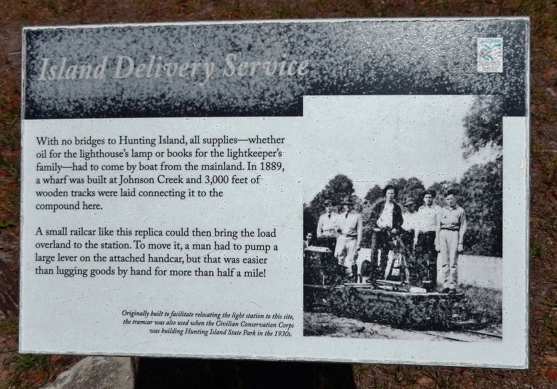
Island Delivery Service
Photographed by Cosmos Mariner, May 1, 2019
1. Island Delivery Service Marker
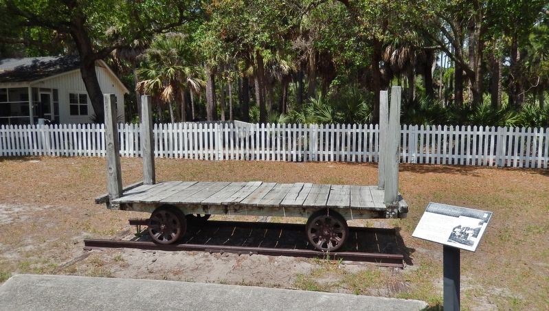
A small railcar like this replica could then bring the load overland to the station. To move it, a man had to pump a large lever on the attached handcar, but that was easier than lugging goods by hand for more than half a mile!
Originally built to facilitate relocating the light station to this site, the tramcar was also used when the Civilian Conservation Corps was building Hunting Island State Park in the 1930s.
Erected by Hunting Island State Park.
Topics and series. This historical marker is listed in these topic lists: Man-Made Features • Parks & Recreational Areas. In addition, it is included in the Lighthouses series list.
Location. 32° 22.533′ N, 80° 26.265′ W. Marker is on Saint Helena Island, South Carolina, in Beaufort County. It can be reached from North
this page online

Regionally, this marker is in the Lowcountry and on the Sea Islands. It is also in the American South, specifically in the Deep South, and on the Eastern Seaboard. Globally, it is in the North Atlantic Region, North America, the Western Hemisphere, the Western World, and the Anglosphere. Historically, it finds itself in what was once New Spain, the territory of the Mississippian Culture, one of the original Thirteen Colonies, one of the Confederate States of America, and the Antebellum South.
Other nearby markers. At least 8 other markers are within 9 miles of this marker, measured as the crow flies: Harvesting Drinking Water (a few steps from this marker); Fuel for the Flame (a few steps from this marker); A Guiding Light (a few steps from this marker); Home at the Lighthouse (within shouting distance
Photographed by Cosmos Mariner, May 1, 2019
2. Island Delivery Service Marker
(wide view • delivery railcar in background)
(wide view • delivery railcar in background)
Related markers. Click here for a list of markers that are related to this marker. Hunting Island Lighthouse
Credits. This page was last revised on June 18, 2019. It was originally submitted on June 17, 2019, by Cosmos Mariner of Cape Canaveral, Florida. This page has been viewed 221 times since then and 19 times this year. Photos: 1, 2. submitted on June 18, 2019, by Cosmos Mariner of Cape Canaveral, Florida.
