Marker Logo
THE HISTORICAL
MARKER DATABASE
“Bite-Size Bits of Local, National, and Global History”
Franklin in Williamson County, Tennessee — The American South (East South Central)
 

Fort Granger Federal Garrison
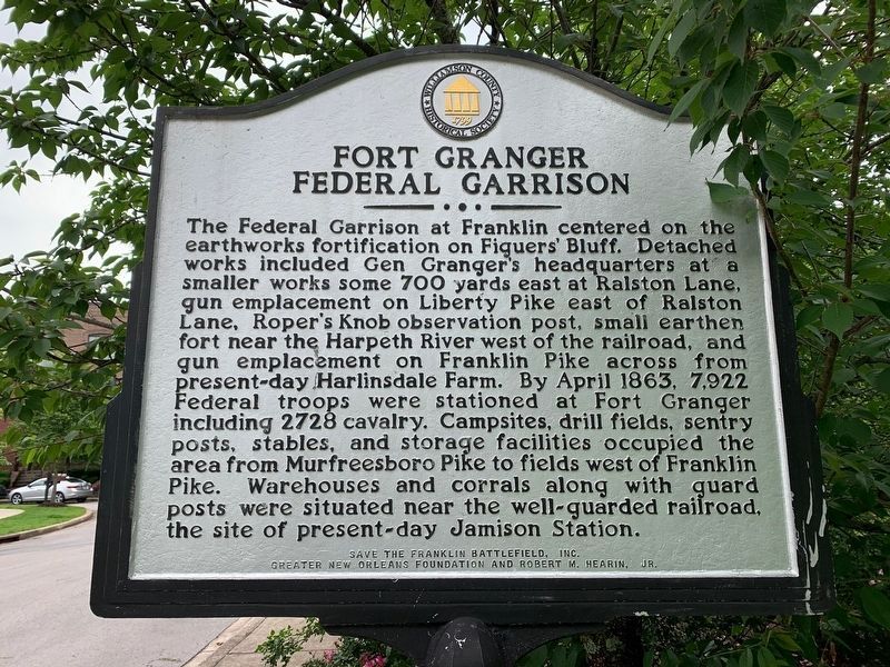
 
 
Fort Granger Federal Garrison Marker image. Click for full size.
May 22, 2020
1. Fort Granger Federal Garrison Marker
Inscription. The Federal Garrison at Franklin centered on the earthworks fortification on Figuers' Bluff. Detached works included Gen Granger's headquarters at a smaller works some 700 yards east at Ralston Lane, gun emplacement on Liberty Pike east of Ralston Lane, Roper's Knob observation post, small earthen fort near the Harpeth River west of the railroad, and gun emplacement on Franklin Pike across from present-day Harlinsdale farm. By April 1863, 7,922 Federal troops were stationed at Fort Granger including 2728 cavalry. Campsites, drill fields, sentry posts, stables, and storage facilities occupied the area from Murfreesboro Pike to fields west of Franklin Pike. Warehouses and corrals along with guard posts were situated near the well-guarded railroad, the site of present-day Jamison Station.
 
Erected by Williamson County Historical Society.
 
Topics and series. This historical marker is listed in this topic list: War, US Civil. In addition, it is included in the Tennessee – Williamson County Historical Society series list. A significant historical month for this entry is April 1863.
 
Location. 35° 55.768′ N, 86° 51.491′ W. Marker is
Paid Advertisement
Click or scan to see
this page online
in Franklin, Tennessee, in Williamson County. It is at the intersection of Jamison Station Lane and Old Liberty Pike, on the right when traveling north on Jamison Station Lane. Near the Nashville & Decatur RR underpass between Old Liberty Pike and Eddy Court. Touch for map. Marker is at or near this postal address: 119 Jamison Station Ln, Franklin TN 37064, United States of America. Touch for directions.

Regionally, this marker is in Middle Tennessee and in Greater Nashville. It is also in the American South and specifically in the Upper South. Globally, it is in North America, the Western Hemisphere, the Western World, and the Anglosphere. Historically, it finds itself in what was once the territory of the Mississippian Culture, one of the Confederate States of America, and the Antebellum South.

Other nearby markers. At least 8 other markers are within walking distance of this marker: Retreat Action at Franklin (here, next to this marker); Rusty Mechanism (approx. 0.2 miles away); Fort Granger (approx. Ό mile away); a different marker also named Fort Granger (approx. 0.3 miles away); a different marker also named Fort Granger
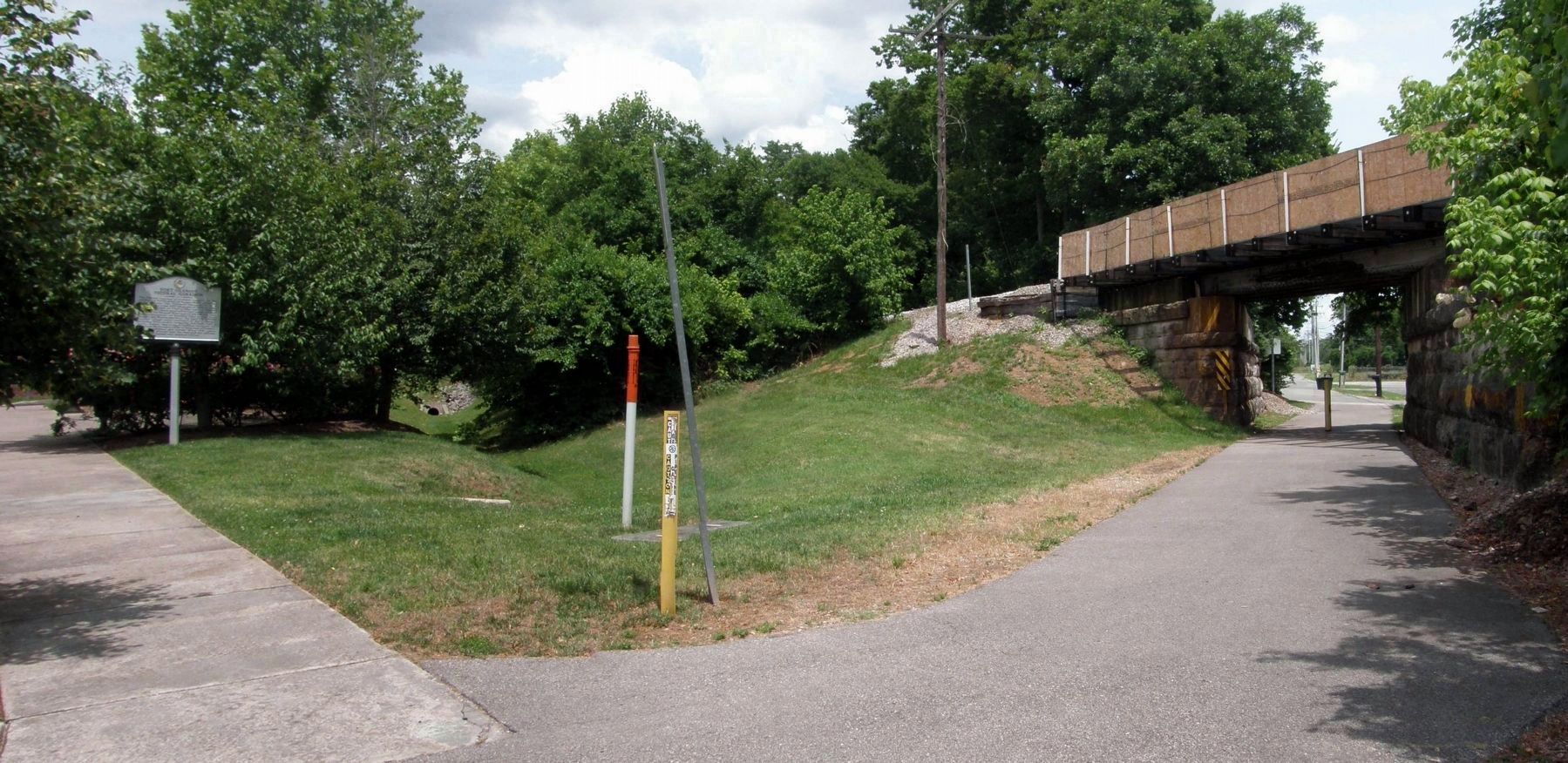
Fort Granger Federal Garrison Marker image. Click for full size.
Photographed by Larry Gertner, June 17, 2019
2. Fort Granger Federal Garrison Marker
"Retreat Action at Franklin" is on the reverse side.
(approx. 0.3 miles away); Allen Manufacturing Company (approx. 0.3 miles away); The Truett House (approx. 0.3 miles away); a different marker also named Fort Granger (approx. 0.3 miles away). Touch for a list and map of all markers in Franklin.
 
 
Credits. This page was last revised on May 23, 2020. It was originally submitted on May 23, 2017, by Larry Gertner of New York, New York. This page has been viewed 541 times since then and 28 times this year. Last updated on June 17, 2019, by Larry Gertner of New York, New York. Photos:   1. submitted on May 22, 2020.   2. submitted on June 17, 2019, by Larry Gertner of New York, New York. • Bernard Fisher was the editor who published this page.

m=135395

CeraNet Cloud Computing sponsors the Historical Marker Database.
This website earns income from purchases you make after using our links to Amazon.com. We appreciate your support.
Paid Advertisement
Jul. 30, 2026
