Near Rison in Charles County, Maryland — The American Northeast (Mid-Atlantic)
John Smith Explores the Chesapeake
Captain John Smith Chesapeake National Historical Trail
— National Park Service, U.S. Department of the Interior —

Photographed By Devry Becker Jones (CC0), August 14, 2020
1. John Smith Explores the Chesapeake Marker
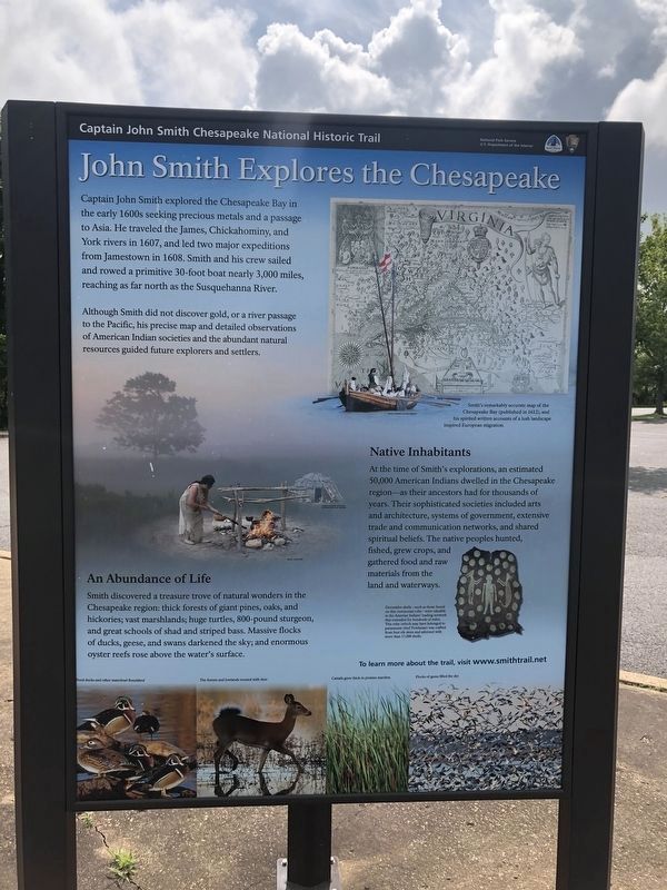
Captain John Smith explored the Chesapeake Bay in the early 1600s seeking precious metals and a passage to Asia. He traveled the James, Chickahominy, and York rivers in 1607, and led two major expeditions from Jamestown in 1608. Smith and his crew sailed and rowed a primitive 30-foot boat nearly 3,000 miles, reaching as far north as the Susquehanna River.
Although Smith did not discover gold, or a river passage to the Pacific, his precise map and detailed observation of American Indians societies and the abundant natural resources guided future explorers and settlers.
An Abundance of Life
Smith discovered a treasure trove of natural wonders in the Chesapeake region: thick forests of giant pines, oaks and hickories; vast marshlands; huge turtles, 800-pound sturgeon, and great schools of shad and striped bass. Massive flocks of ducks, geese, and swans darkened the sky; and enormous oyster reefs rose above the water’s surface.
Native Inhabitants
At the time of Smith’s explorations, an estimated 50,000 American Indians dwelled in the Chesapeake region-as their ancestors had for thousands of years. Their sophisticated societies included arts and architecture, systems of government, extensive trade and communication networks, and shared spiritual beliefs. The native peoples hunted, fished, grew crops, and gathered food and raw material from the land and waterways.
Erected by National Park Service, U.S. Department of the Interior.
Topics and series. This historical marker is listed in these topic lists: Colonial Era • Exploration • Native Americans. In addition, it is included in the Captain John Smith Chesapeake National Historic Trail series list. A significant historical year for this entry is 1607.
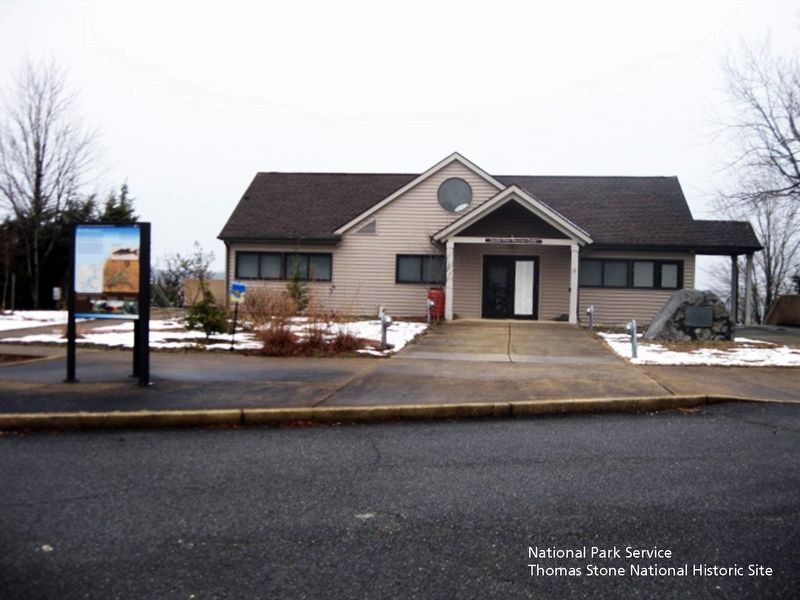
Location. 38° 33.526′ N, 77° 11.102′ W. Marker is near Rison, Maryland, in Charles County. Marker is on Sweden Point Road, one mile Chicamuxen Road (Route 224). The marker is located in front of the Discovery Room building in Smallwood State Park. Touch for map. Marker is at or near this postal address: 2835 Sweden Point Road, Marbury MD 20658, United States of America. Touch for directions.
Other nearby markers. At least 8 other markers are within 3 miles of this marker, measured as the crow flies. Join the Adventure (here, next to this marker); Rich Resources (here, next to this marker); Christian Temple Manor (a few steps from this marker); Explore your Chesapeake (approx. 0.2 miles away); General Smallwood's Gravesite (approx. 0.6 miles away); Smallwood's Home (approx. 0.7 miles away); Rum Point (approx. 1.7 miles away); General Joseph Hooker U.S.A. (approx. 2.6 miles away). Touch for a list and map of all markers in Rison.
Also see . . .
1. Smallwood State Park. Maryland Historical Trust Architectural Survey File PDF (Submitted on June 19, 2019.)
2. Captain John Smith Chesapeake National Historic Trail. National Park Service website entry (Submitted on June 19, 2019.)

Photographed By David Lassman, January 18, 2019
3. Smallwood State Park entrance sign
Maryland Department of Natural Resources website entry:
Click for more information.
Click for more information.
Credits. This page was last revised on January 31, 2024. It was originally submitted on June 19, 2019. This page has been viewed 193 times since then and 14 times this year. Photos: 1. submitted on August 14, 2020, by Devry Becker Jones of Washington, District of Columbia. 2, 3. submitted on June 19, 2019. • Bill Pfingsten was the editor who published this page.
