Reed Township near Attica in Seneca County, Ohio — The American Midwest (Great Lakes)
The Underground Railroad / The Underground Railroad at Omar Inn and Omar Chapel of Seneca County
Historic Underground Railroad Site
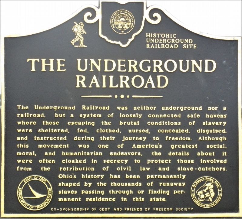
The Underground Railroat. The Underground Railroad was neither underground nor a railroad, but a system of loosely connected safe havens where those escaping the brutal conditions of slavery were sheltered, fed, clothed, nursed, concealed, disguised, and instructed during their journey to freedom. Although this movement was one of America's greatest social, moral, and humanitarian endeavors, the details about it were often cloaked in secrecy to protect those involved from the retribution of civil law and slave-catchers. Ohio's history has been permanently shaped by the thousands of runaway slaves passing through or finding permanent residence in this state.
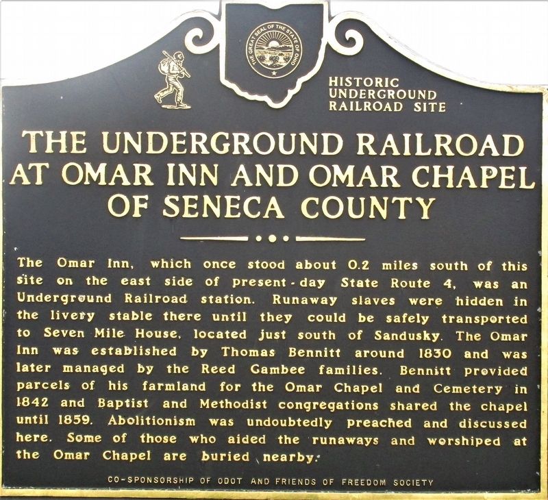
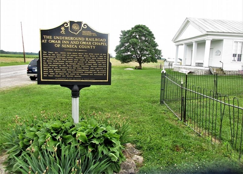
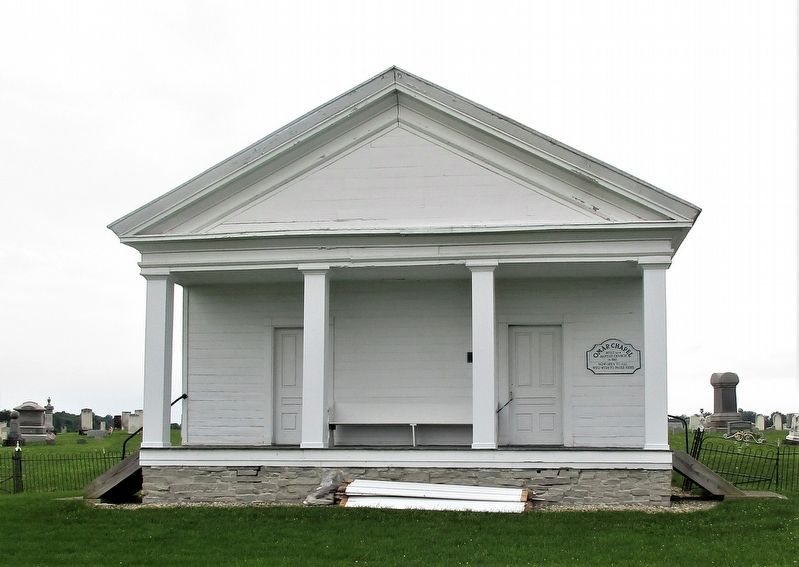
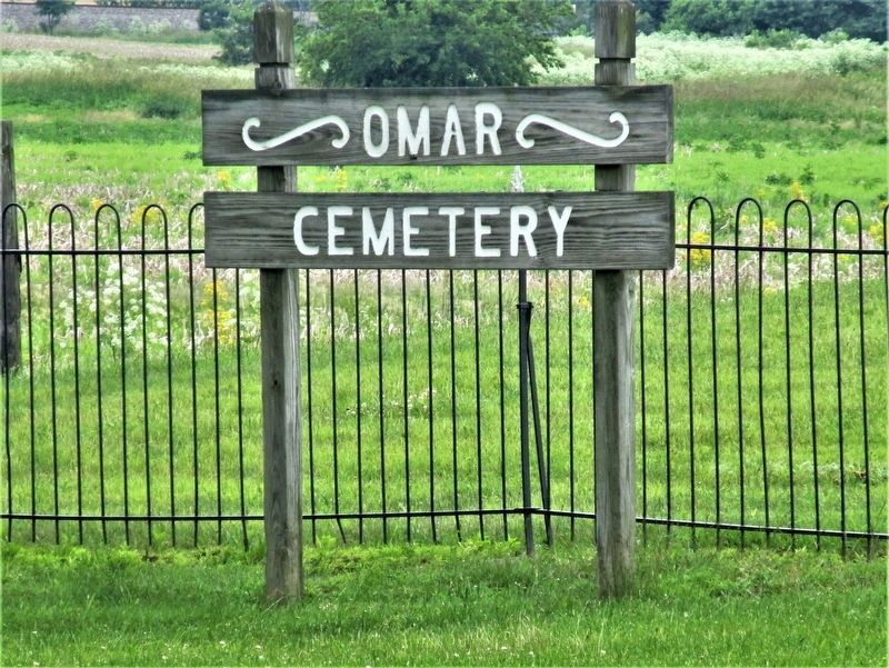
The Underground Railroad at Omar Inn and Omar Chapel of Seneca County. The Omar Inn, which once stood about 0.2 miles south of this site on the east side of present- day State Route 4, was an Underground Railroad station. Runaway slaves were hidden in the livery stable there until they could be safely transported to Seven Mile House, located just south of Sandusky. The Omar Inn was established by Thomas Bennitt around 1830 and was later managed by the Reed Gambee families. Bennett provided parcels of his farmland for the Omar Chapel and Cemetery in 1842 and Baptist and Methodist congregations shared the chapel until 1859. Abolitionism was undoubtedly preached and discussed here. Some of those who sided with the runaways and worshipped at the Omar Chapel are buried nearby.
Erected 2004 by ODOT Friends of Freedom Society.
Topics. This historical marker is listed in these topic lists: Abolition & Underground RR • Cemeteries & Burial Sites • Churches & Religion. A significant historical year for this entry is 1830.
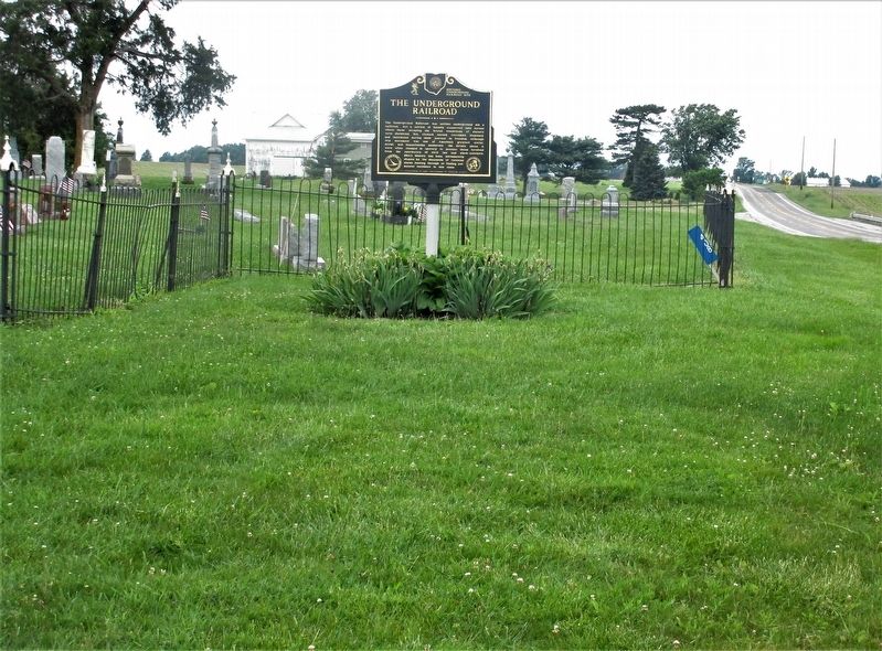
Location. 41° 7.11′ N, 82° 51.75′ W. Marker is near Attica, Ohio, in Seneca County. It is in Reed Township. Marker is at the intersection of Columbus-Sandusky Pike (Ohio Route 4) and Scottwood Road (County Route 9), on the right when traveling south on Columbus-Sandusky Pike. The marker is in Omar Cemetery. Touch for map. Marker is at or near this postal address: 408 Columbus-Sandusky Pike, Attica OH 44807, United States of America. Touch for directions.
Other nearby markers. At least 8 other markers are within 4 miles of this marker, measured as the crow flies. Omar Veterans Memorial (a few steps from this marker); Omar Chapel (a few steps from this marker); Attica Civil War Memorial (approx. 3.6 miles away); A Nurse’s Sacrifice in the Great War (approx. 3.7 miles away); Site of Saints Peter and Paul Catholic Church (approx. 3.7 miles away); Purple Heart Vietnam Bench (approx. 4 miles away); The Fallen... But Not Forgotten
(approx. 4 miles away); Attica Area Veterans Memorial (approx. 4 miles away). Touch for a list and map of all markers in Attica.
Credits. This page was last revised on April 28, 2023. It was originally submitted on June 21, 2019, by Rev. Ronald Irick of West Liberty, Ohio. This page has been viewed 941 times since then and 128 times this year. Last updated on April 27, 2023, by Craig Doda of Napoleon, Ohio. Photos: 1, 2, 3, 4, 5, 6. submitted on June 21, 2019, by Rev. Ronald Irick of West Liberty, Ohio. • Devry Becker Jones was the editor who published this page.
