Inner Harbor in Baltimore, Maryland — The American Northeast (Mid-Atlantic)
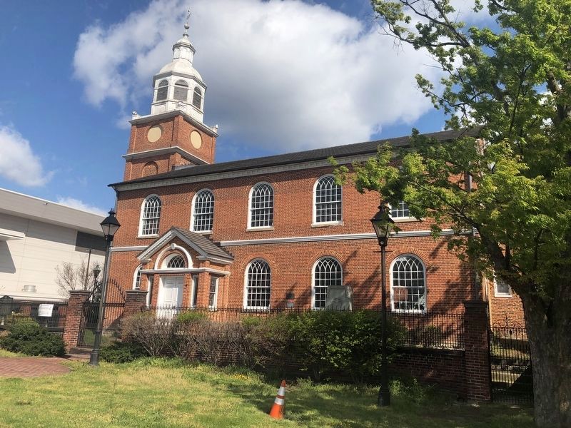
Old Otterbein Church
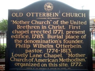
Photographed by Chris Nelson, June 1, 2008
1. Old Otterbein Church Marker
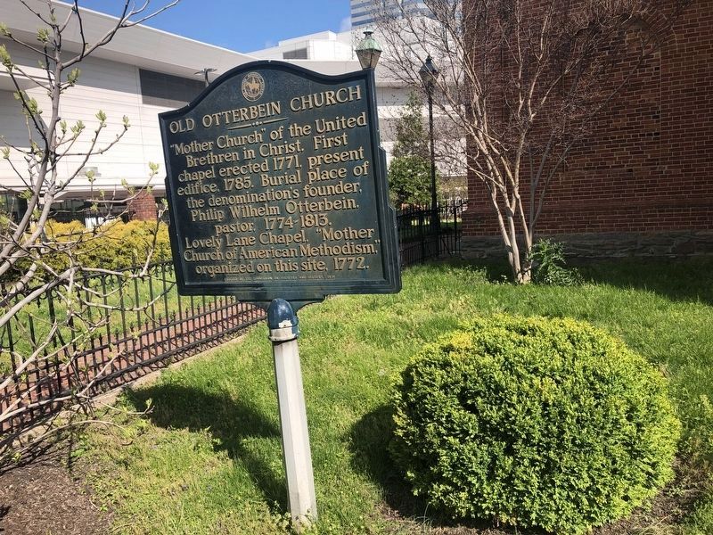
"Mother Church" of the United Brethren in Christ. First chapel erected 1771, present edifice, 1785. Burial place of the denomination's founder, Philip Wilhelm Otterbein, pastor, 1774-1813. Lovely Lane Chapel, "Mother Church of American Methodism," organized on this site, 1772.
Erected 1970 by The Commission on Archives and History.
Topics. This historical marker is listed in these topic lists: Cemeteries & Burial Sites • Colonial Era • Notable Buildings • Religion & Religious Structures. A significant historical year for this entry is 1771.
Location. 39° 17.062′ N, 76° 37.044′ W. Marker is in Baltimore, Maryland. It is in the Inner Harbor. It is at the intersection of West Conway Street and South Sharp Street, on the right when traveling west on West Conway Street. Touch for map. Marker is at or near this postal address: 112 W Conway St, Baltimore MD 21201, United States of America. Touch for directions.

Regionally, this marker is in Central Maryland. It is also in the American Mid-Atlantic, in the Chesapeake Bay Region, and on the Eastern Seaboard. Globally, it is in the North Atlantic Region,
this page online
Other nearby markers. At least 8 other markers are within walking distance of this marker: The First Methodist Church (a few steps from this marker); Philip Wilhelm Otterbein (a few steps from this marker); Sexton Methodist Episcopal Church Cornerstone (within shouting distance of this marker); The Schell House (within shouting distance of this marker); Frances Ellen Watkins Harper (about 300 feet away, measured in a direct line); Great Railroad Strike of 1877 (about 600 feet away); Baltimore Regional Trail (about 600 feet away); Baltimore Riot Trail (about 600 feet away). Touch for a list and map of all markers in Baltimore.
Also see . . . Old Otterbein Church. Baltimore Heritage website entry (Submitted on February 13, 2022, by Larry Gertner of New York, New York.)
Credits. This page was last revised on April 3, 2023. It was originally submitted on November 14, 2008, by Chris Nelson of Baltimore, Maryland. This page has been viewed 1,482 times since then and 21 times this year. Last updated on November 14, 2008, by Chris Nelson of Baltimore, Maryland. Photos: 1. submitted on November 14, 2008, by Chris Nelson of Baltimore, Maryland. 2, 3. submitted on April 11, 2020, by Devry Becker Jones of Washington, District of Columbia. • Bill Pfingsten was the editor who published this page.
