Fremont in Sandusky County, Ohio — The American Midwest (Great Lakes)
Pontiac Conspiracy
Ohio Revolutionary Memorial Trail
Pontiac Conspiracy
Here Bradstreet's British
expedition camped in 1764.
Also the farthest point
west reached by colonial
forces under command of
Israel Putnam.
Erected 1930 by Ohio Revolutionary Memorial Commission. (Marker Number C.)
Topics and series. This historical marker is listed in these topic lists: Colonial Era • Native Americans • Wars, US Indian. In addition, it is included in the Ohio Revolutionary Memorial Commission series list. A significant historical year for this entry is 1764.
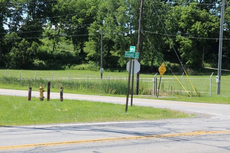
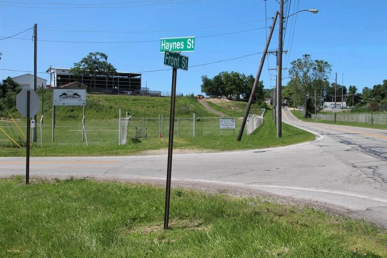
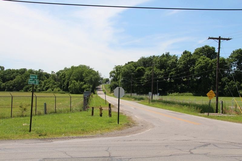
Location. Marker is missing. It was located near 41° 21.464′ N, 83° 6.77′ W. Marker was in Fremont, Ohio, in Sandusky County. Marker was at the intersection of North Front Street and Haynes Street, on the left when traveling north on North Front Street. This marker would be located along Front Street because in 1930 it was State Route 53. I believe that the marker was located at the intersection with Haynes Street, because the Ohio Memorial Historical Marker for the Pontiac Conspiracy is located in the Sandusky County Fairgrounds, off the Haynes Street entrance. Touch for map. Marker was in this post office area: Fremont OH 43420, United States of America. Touch for directions.
Other nearby markers. At least 8 other markers are within walking distance of this location. Sandusky County Fairgrounds (approx. ¼ mile away); Log Meeting House (approx. ¼ mile away); a different marker also named Log Meeting House (approx. ¼ mile away); Smoky The Clown (approx. ¼ mile away); Log Smoke House (approx. 0.3 miles away); Brady's Island (approx. 0.4 miles away); Indian Gantlet and Race Course (approx. 0.7 miles away); Fremont (approx. 0.7 miles away). Touch for a list and map of all markers in Fremont.
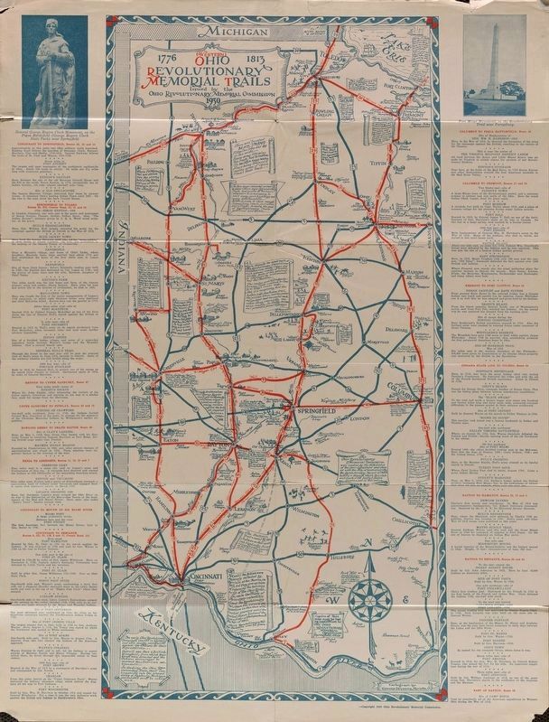
More about this marker. This historical marker is part of the Ohio Revolutionary Memorial Trail series (type C) which was put in place in 1930 to celebrate the 150th anniversary of the Ohio's Revolutionary War era Battle of Piqua, by the Ohio Revolutionary Memorial Commission.
In order to accomplish this, in 1929 the state of Ohio created the Ohio Revolutionary Memorial Commission, and then in 1930 this commission created 22 military trails, throughout western Ohio, between Cincinnati, Ohio on the state's southern border and Toledo, Ohio on the state's northern border. Each of these military trails represented the routes, or trails, used by military leaders during either the Revolutionary War, the Indian Wars of 1790 to 1795, or the War of 1812. Each of these military routes connected various related historical sites, that were marked with
Ohio Revolutionary Memorial Commission (type C) markers, along each of the military trails.
The routes of these military trails were in turn marked by type A and type B Ohio Revolutionary Memorial Commission markers that served as directional (type B) and distance (type A) markers.
Originally, back in 1930, there were erected 70 some of these Ohio Revolutionary Memorial Commission, type C, markers. To date, there are only 20 some of them that have been located and posted on the Historical Marker database. A number of them are presently missing, including this particular marker, which is listed on page 75 of the ORMC 1931 Planning Report.
Photographed By Dale K. Benington, June 22, 2019
4. Pontiac Conspiracy Marker
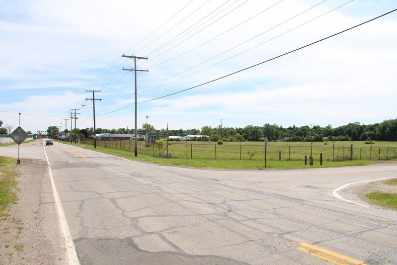
View looking north along Front Street, towards the Sandusky County Fairgrounds. The marker most probably would have been situated on the near left corner of the intersection. The British expedition encampment would have been on the ridge in the background of the picture, where the fairground's grandstand can be seen.
Photographed By Dale K. Benington, June 22, 2019
5. Pontiac Conspiracy Marker
View looking west along Haynes Street. The British expedition encampment would have been on the ridge seen in the distant background. The marker, most probably would have been situated on the near corner, along old State Route 53.
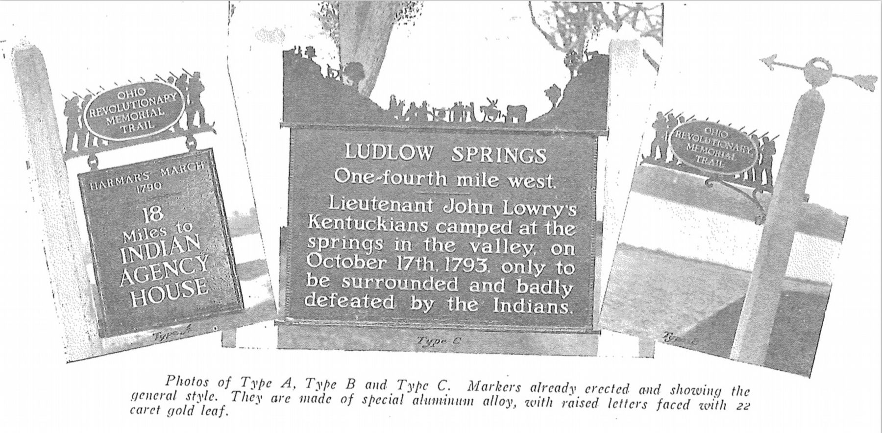
Image provided by Ohio Revolutionary Memorial Commission publication, dated 1931.
6. Ohio Revolutionary Memorial Commission Marker Types
View of the three types of markers used by the Ohio Revolutionary Memorial Commission. The marker on the left is a type A marker, the marker in the middle is a type C (just like our featured missing marker), and the marker on the right is a type B. For a better view double click on this picture.
Credits. This page was last revised on September 5, 2019. It was originally submitted on June 24, 2019, by Dale K. Benington of Toledo, Ohio. This page has been viewed 201 times since then and 15 times this year. Photos: 1, 2, 3, 4, 5, 6, 7. submitted on June 24, 2019, by Dale K. Benington of Toledo, Ohio.

