Chetumal in Othón P. Blanco, Quintana Roo, Mexico — The Yucatan Peninsula (The Southeast)
Chetumal - Kohunlich and Oxtankah
Inscription.
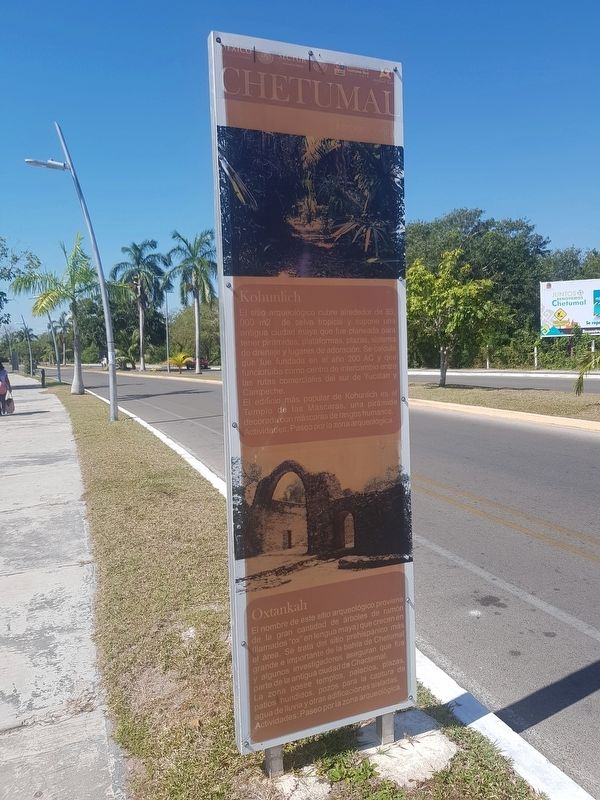
El sitio arqueológico cubre alrededor de 85,000 m2 de selva tropical y supone una antigua ciudad maya que fue planeada para tener pirámides, plataformas, plazas, sistema de drenaje y lugares de adoración. Se calcula que fue fundada en el año 200 AC y que funcionaba como centro de intercambio entre las rutas comerciales del sur de Yucatán y Campeche.
El edificio más popular de Kohunlich es el Templo de las Máscaras, una pirámide decorada con máscaras de rasgos humanos. Actividades: Paseo porla zona arqueológica.
Oxtankah
El nombre de este sitio arqueológico proviene de la gran cantidad de árboles de ramón (llamados "ox" en lengua maya) que crecen en el área. Se trata del sitio prehispánico más grande e importante de la bahía de Chetumal y algunos investigadores aseguran que fue parte de la antigua ciudad de Chactemal.
La zona posee templos, palacios, plazas, patios hundidos, pozos para la captura de agua de lluvia y otras edificaciones aisladas. Actividades: Paseo por la zona arqueológica.
Kohunlich
This archaeological site covers around 85,000 m2 of rainforest and is an ancient Mayan city that was planned to have pyramids, platforms, plazas, a drainage system and places of worship. It is estimated that it was founded in 200 BC and that it functioned as a center of exchange between the commercial routes of southern Yucatán and Campeche.
The most popular building in Kohunlich is the Temple of the Masks, a pyramid decorated with masks with human features. Activities: Get to know the archaeological zone.
Oxtankah
The name of this archaeological site comes from the large number of ramón trees (called "ox" in the Mayan language) that grow In the area. It is the largest and most important prehispanic site in the Bay of Chetumal and some researchers claim that it was part of the ancient city of Chactemal.
The area has temples, palaces, plazas, sunken patios, wells for the capture of rainwater and other isolated buildings. Activities: Get to know the archaeological zone.
Topics. This historical marker is listed in these topic lists: Man-Made Features • Native Americans.
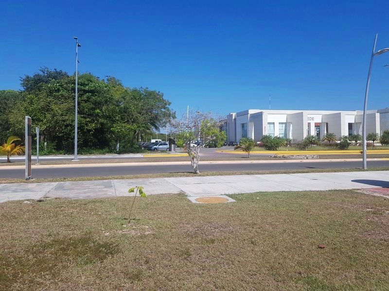
Location. 18° 31.104′ N, 88° 16.226′ W. Marker is in Chetumal, Quintana Roo, in Othón P. Blanco. Marker is on Boulevard Bahía just north of Calle Julieta, on the right when traveling north
. Touch for map. Marker is in this post office area: Chetumal QR 77000, Mexico. Touch for directions.
Other nearby markers. At least 8 other markers are within 3 kilometers of this marker, measured as the crow flies. Heroes of April 1914 (approx. one kilometer away); Chetumal Meetings (approx. 1.8 kilometers away); Chetumal Culture (approx. 3 kilometers away); The Chetumal Mask (approx. 3.1 kilometers away); The Caste War (approx. 3.1 kilometers away); Allegory of Mestizaje (approx. 3.1 kilometers away); Manuel Antonio Ay (approx. 3.1 kilometers away); Cecilio Chi (approx. 3.1 kilometers away). Touch for a list and map of all markers in Chetumal.
Credits. This page was last revised on June 25, 2019. It was originally submitted on June 25, 2019, by J. Makali Bruton of Accra, Ghana. This page has been viewed 98 times since then and 6 times this year. Photos: 1, 2. submitted on June 25, 2019, by J. Makali Bruton of Accra, Ghana.

