Near Santa Rosa Jáuregui in Querétaro, Mexico — The Central Highlands (North America)
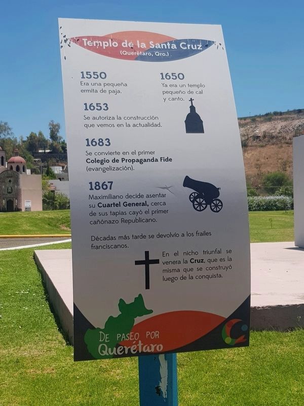
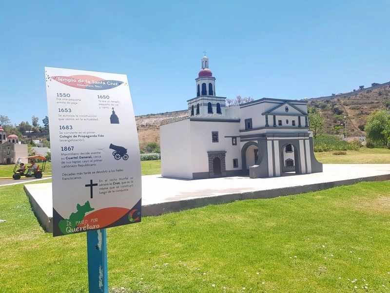
Temple of the Santa Cruz
De Paseo por Querétaro
(Querétaro, Qro.)
1550 · Era una pequeña ermita de paja.
1650 · Ya era un templo pequeño de cal y canto.
1653 · Se autoriza la construcción que vemos en la actualidad.
1683 · Se convierte en el primer Colegio de Propaganda Fide (evangelización).
1867 · Maximiliano decide asentar su Cuartel General, cerca de sus tapias cayó el primer cañónazo Republicano.
Décadas más tarde se devolvío a los frailes franciscanos.
En el nicho triunfal se venera la Cruz, que es la misma que se construyó luego de la conquista.
Temple of the Holy Cross
(Querétaro, Querétaro)
1550 · It was a small chapel made of straw.
1650 · At this time it was already a small temple made of mortared stone.
1653 · The construction that we see today is authorized.
1683 · It becomes the first College for the Propagation of the Faith in order to support evangelization efforts.
1867 · Maximilian decides to organize his General Headquarters at the temple. Near his walls fall the first bombardments of the Republicans.
Decades later it was returned to the Franciscan friars.
In its triumphal niche the Cross is worshiped, which is the same that was constructed after the Conquest.
Topics. This historical marker is listed in these topic lists: Churches & Religion • Colonial Era • Man-Made Features. A significant historical year for this entry is 1550.
Location. 20° 43.969′ N, 100° 27.008′ W. Marker is near Santa Rosa Jáuregui, Querétaro. Marker can be reached from Calle Melchor Ocampo just west of Independencia, on the left when traveling west. The marker is part of a series of markers near replicas of historic landmarks of Querétaro. The series is part of the "Parque Ludíca" attraction, just east of the large man-made lake at Parque Bicentenario. Touch for map. Marker is in this post office area: Santa Rosa Jáuregui QUE 76220, Mexico. Touch for directions.
Other nearby markers. At least 8 other markers are within walking distance of this marker. The Mission at Tilaco (within shouting distance of this marker); Peña de Bernal (within shouting distance of this marker); The Mission at Concá (within shouting distance of this marker); The Mission at Jalpan (within shouting distance of this marker); Santa Rosa de Viterbo (within shouting distance of this marker); Teatro de la República (within shouting distance of this marker);
Aqueduct of Querétaro (about 90 meters away, measured in a direct line); A Group of Revolutionaries (about 90 meters away). Touch for a list and map of all markers in Santa Rosa Jáuregui.
Credits. This page was last revised on October 8, 2020. It was originally submitted on June 27, 2019, by J. Makali Bruton of Accra, Ghana. This page has been viewed 87 times since then and 8 times this year. Photos: 1, 2. submitted on June 27, 2019, by J. Makali Bruton of Accra, Ghana.

