Mahaning Heights in Northeast Washington in Washington, District of Columbia — The American Northeast (Mid-Atlantic)
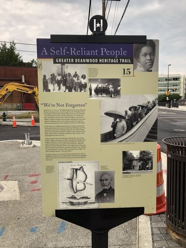
"We're Not Forgotten"
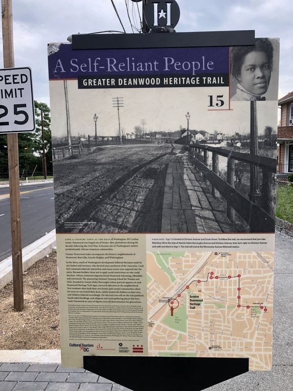
A Self-Reliant People
— Greater Deanwood Heritage Trail —
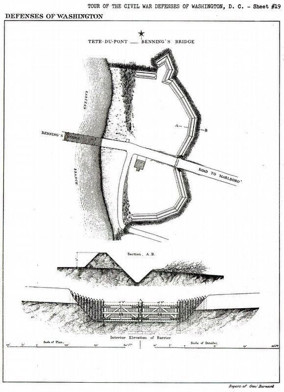
Formerly known as the Bladensburg Piscataway Road, Minnesota Avenue has long served as an eastern gateway into Washington. Since the original wooden Benning Road Bridge across the Anacostia River was erected nearby in 1800, countless people have crossed the river here. During the Civil War (1861-1865), Fort Mahan, named for U.S. Military Academy Professor Dennis Mahan, defended this entry point against Confederate attack. Union soldiers searched the wagons of everyone entering the city from checkpoints at the foot of the bridge.
In the early 1970s, brightly painted shops and markets operated here. Yet the nearby junkyard, numerous boarded-up buildings, vacant lots, and electric power plant smokestacks gave the area a bleak feeling. Many local merchants and residents, unable to attract support of area banks, believed that city officials would never show interest in this long-neglected section of the city.
Things changed when the Washington Metropolitan Area Transit Authority began construction on Metro's Orange Line, linking Vienna, Virginia, with New Carrollton, Maryland, through here. Deanwood stood to benefit from a new, quicker route downtown. When the Minnesota Avenue Metrorail station to your right, and the Deanwood station one-half mile behind you, opened up in November 1978, residents saw the dawning of a new day. "We're not forgotten any longer," one told a newspaper reporter. "We've got Metro."
The Metro station was once the site of Benning Elementary School, established in 1883 for the area's white children under the city's segregated public school system. The school closed in 1952 and stood empty for many years.
Erected 2009 by Cultural Tourism DC. (Marker Number 15.)
Topics and series. This historical marker is listed in these topic lists: Education • Forts and Castles • Industry & Commerce • Railroads & Streetcars • Roads & Vehicles • War, US Civil. In addition, it is included in the Defenses of Washington, and the Greater Deanwood Heritage Trail series lists. A significant historical month for this entry is November 1978.
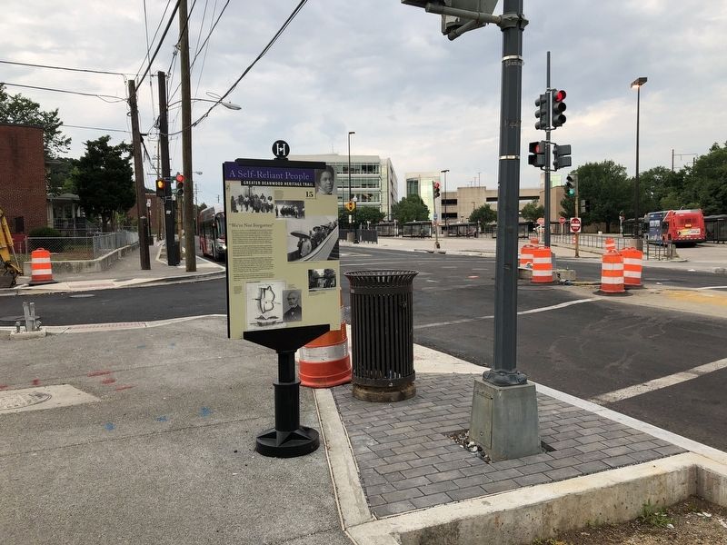
Location. 38° 53.899′ N, 76° 56.787′ W. Marker is in Northeast Washington in Washington, District of Columbia. It is in Mahaning Heights. Marker is at the intersection of Minnesota Avenue Northeast and Grant Street Northeast, on the left when traveling south on Minnesota Avenue Northeast. Touch for map. Marker is at or near this postal address: 4121 Minnesota Avenue Northeast, Washington DC 20019, United States of America. Touch for directions.
Other nearby markers. At least 8 other markers are within walking distance of this marker. From Gambling to Garden Apartments (about 700 feet away, measured in a direct line); Mayfair Mansions / Albert I. Cassell
Credits. This page was last revised on November 19, 2023. It was originally submitted on July 4, 2019, by Devry Becker Jones of Washington, District of Columbia. This page has been viewed 227 times since then and 15 times this year. Photos: 1, 2, 3. submitted on July 4, 2019, by Devry Becker Jones of Washington, District of Columbia. 4, 5. submitted on November 10, 2023, by Allen C. Browne of Silver Spring, Maryland.
