
Millinocket in Penobscot County, Maine — The American Northeast (New England)
Baxter State Park
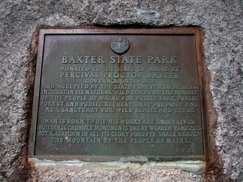
Photographed by Bill Coughlin, July 1, 2019
1. Baxter State Park Marker
Percival Proctor Baxter
Governor 1921 – 1925
Man is born to die, his works are short-lived. Buildings crumble, monuments decay, wealth vanishes but Katahdin in all its glory forever shall remain the mountain of the people of Maine.
P. P. B.
Topics. This historical marker is listed in these topic lists: Natural Features • Parks & Recreational Areas.
Location. 45° 55.191′ N, 68° 51.444′ W. Marker is in Millinocket, Maine, in Penobscot County. It can be reached from Chimney Pond Trail. Marker is located on a rock near the ranger station at Roaring Brook Campground in Baxter State Park. Touch for map. Marker is in this post office area: Millinocket ME 04462, United States of America. Touch for directions.

Regionally, this marker is in the Maine Highlands. It is also in the American Northeast and
this page online
Other nearby markers. At least 5 other markers are within 14 miles of this marker, measured as the crow flies: Mount Katahdin (approx. 3.3 miles away); Katahdin (approx. 3.3 miles away); Want to see a moose? Think like one! (approx. 13.2 miles away); The Golden Road (approx. 13.2 miles away); Destination Katahdin! (approx. 13.2 miles away).
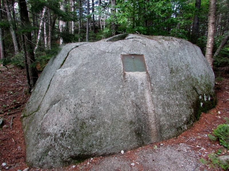
Photographed by Bill Coughlin, July 1, 2019
2. Baxter State Park Marker
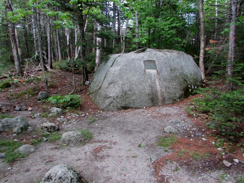
Photographed by Bill Coughlin, July 1, 2019
3. Marker at Roaring Brook Campground
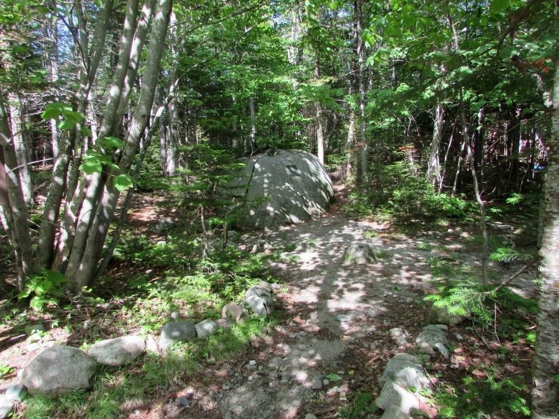
Photographed by Bill Coughlin, July 1, 2019
4. Baxter State Park Marker
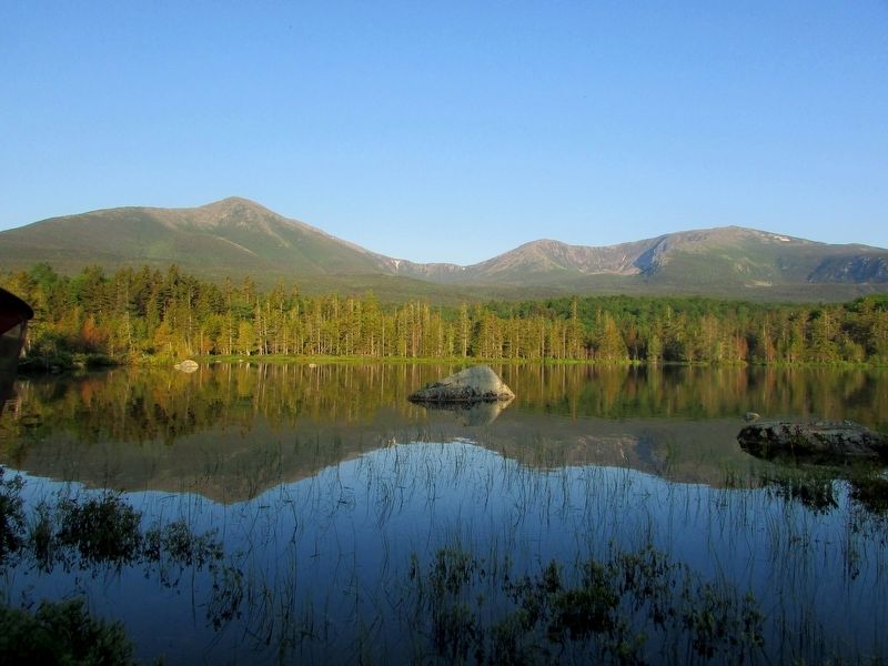
Photographed by Bill Coughlin, July 1, 2019
5. Mount Katahdin in Baxter State Park
Credits. This page was last revised on July 4, 2019. It was originally submitted on July 4, 2019, by Bill Coughlin of Woodland Park, New Jersey. This page has been viewed 516 times since then and 12 times this year. Photos: 1, 2, 3, 4, 5. submitted on July 4, 2019, by Bill Coughlin of Woodland Park, New Jersey.
