Pineville in Rapides Parish, Louisiana — The American South (West South Central)
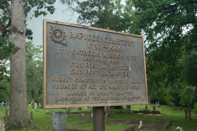
Rapides Cemetery
1792-1964
Photographed by Cajun Scrambler, June 28, 2019
1. Rapides Cemetery Marker
1711 Catholic Mission site.
Franciscan Monks
1723 Post Du Rapide
1763 Post El Rapido
Oldest Cemetery in Rapides Parish
Heroes of all U.S. Wars lie here.
Marked by Loyalty Chapter Daughters of the American Revolution.
Erected by Loyalty Chapter Daughters of the American Revolution.
Topics and series. This historical marker is listed in these topic lists: Cemeteries & Burial Sites • Colonial Era. In addition, it is included in the Daughters of the American Revolution (DAR) series list.
Location. 31° 19.044′ N, 92° 26.504′ W. Marker is in Pineville, Louisiana, in Rapides Parish. It is at the intersection of Hardtner Street and Singer Street on Hardtner Street. Touch for map. Marker is in this post office area: Pineville LA 71360, United States of America. Touch for directions.

Regionally, this marker is in Central Louisiana and in Acadiana — Cajun Country. It is also in the American South and specifically in the Deep South. Globally, it is in North America, a Gulf of Mexico state, the Western Hemisphere, the Western World, and the Anglosphere. Historically,
this page online
Other nearby markers. At least 8 other markers are within walking distance of this marker: Old Rapides Cemetery (about 600 feet away, measured in a direct line); The Jewish Cemetery (about 700 feet away); 300 Block Main Street (about 700 feet away); 200 Block of Main Street (about 700 feet away); Pineville #3 (about 800 feet away); Mount Olivet Chapel (approx. 0.2 miles away); Mount Olivet Cemetery and Chapel (approx. 0.2 miles away); Pineville #2 (approx. 0.2 miles away). Touch for a list and map of all markers in Pineville.
Photographed by Cajun Scrambler, June 28, 2019
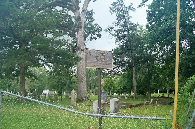
2. Rapides Cemetery Marker
Credits. This page was last revised on June 18, 2023. It was originally submitted on July 4, 2019, by Cajun Scrambler of Assumption, Louisiana. This page has been viewed 426 times since then and 26 times this year. Photos: 1, 2. submitted on July 4, 2019.
