Colfax in Grant Parish, Louisiana — The American South (West South Central)
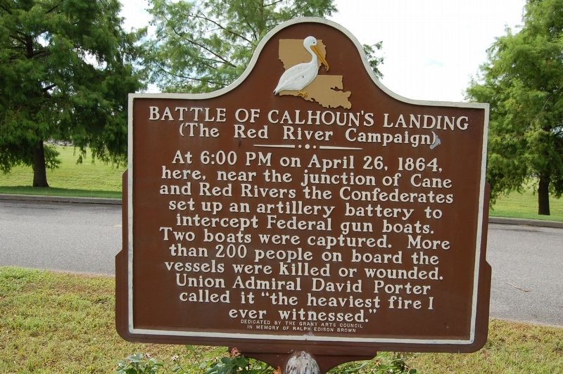
Battle of Calhoun's Landing
(The Red River Campaign)
At 6:00 PM on April 26, 1864, here, near the junction of Cane and Red Rivers the Confederates set up an artillery battery to intercept Federal gun boats. Two boats were captured. More than 200 people on board the vessels were killed or wounded. Union Admiral David Porter called it "the heaviest fire I ever witnessed."
Erected by The Grant Arts Council in Memory of Ralph Edison Brown.
Topics. This historical marker is listed in these topic lists: War, US Civil • Waterways & Vessels. A significant historical date for this entry is April 26, 1864.
Location. 31° 31.529′ N, 92° 43.438′ W. Marker is in Colfax, Louisiana, in Grant Parish. Marker is on Control House Road near 8th Street (State Highway 158), on the right when traveling west. Touch for map. Marker is at or near this postal address: 150 Control House Road, Colfax LA 71417, United States of America. Touch for directions.
Other nearby markers. At least 8 other markers are within 18 miles of this marker, measured as the crow flies. The Famous Burning Well of Colfax (approx. 0.9 miles away); Grant Parish and Town of Colfax (approx. 1.1 miles away); Mary E. Graham High School (approx. 1.2 miles away); Bayou Folk Museum (approx. 11˝ miles away); Village of Dry Prong (approx. 12.1 miles away); Verda (approx. 12.3 miles away); Montgomery, Louisiana (approx. 13.9 miles away); LTV Aerospace Vought A-7D Corsair II (approx. 17.9 miles away). Touch for a list and map of all markers in Colfax.
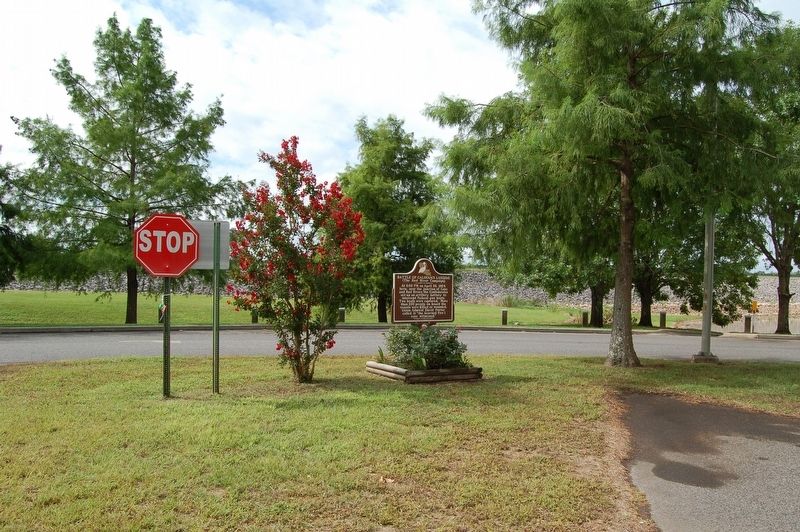
More about this marker. Located in the Colfax RV Park.
Credits. This page was last revised on June 2, 2023. It was originally submitted on July 7, 2019, by Cajun Scrambler of Assumption, Louisiana. This page has been viewed 595 times since then and 59 times this year. Photos: 1, 2. submitted on July 7, 2019.

