Circleville in Pickaway County, Ohio — The American Midwest (Great Lakes)
Prehistoric Circular Earthworks / The Squaring of Circleville
Inscription.
Side A:
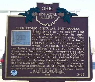
Prehistoric Circular Earthworks
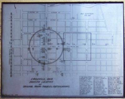
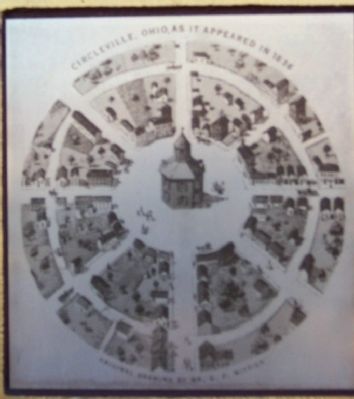
Established as the county seat of Pickaway County in 1810, Circleville derives its name from the circular portion of a large Hopewell-era earthwork upon which it was built. The Circleville earthworks, described in 1772 by Rev. David Jones for a Boston magazine, comprised an 1,100 foot diameter circle connected to a 900 foot square. Town director Daniel Dreisbach platted the town directly atop the earthworks, integrating the town plan into the prehistoric landscape. An octagonal courthouse stood directly in the center.
Side B:
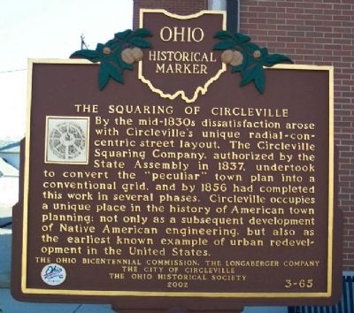
The Squaring of Circleville
By the mid-1830s dissatisfaction arose with Circleville's unique radial-concentric street layout. The Circleville Squaring Company, authorized by the State Assembly in 1837, undertook to convert the “peculiar” town plan into a conventional grid, and by 1856 had completed this work in several phases. Circleville occupies a unique place in the history of American town planning: not only as a subsequent development of Native American engineering, but also as the earliest known example of urban redevelopment in the United States.
Erected 2002 by Ohio Bicentennial Commission, The Longaberger Company, The City of Circleville and The Ohio Historical Society. (Marker Number 3-65.)
Topics and series. This historical marker is listed in these topic lists: Landmarks • Native Americans • Notable Buildings • Notable Places • Political Subdivisions • Settlements & Settlers. In addition, it is included in the Ohio Historical Society / The Ohio History Connection series list. A significant historical year for this entry is 1810.
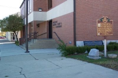
Location. 39° 36.012′ N, 82° 56.635′ W. Marker is in Circleville, Ohio, in Pickaway County. Marker is on Franklin Street, on the right when traveling east. Marker is next to the Circleville Municipal Court and Police Department building. Touch for map. Marker is at or near this postal address: 149 E Franklin Street, Circleville OH 43113, United States of America. Touch for directions.
Other nearby markers. At least 8 other markers are within walking distance of this marker. Memorial Hall (about 400 feet away, measured in a direct line); Model 1841 6-Pounder Field Gun (about 400 feet away); Walk Of Remembrance (about 500 feet away); This Fence (about 500 feet away); Section Of Stone Column Of Pickaway County Court House Of 1846 (about 600 feet away); History of "The Greatest Free Show On Earth" (about 600 feet away); War Savings Quota (about 600 feet away); Our Safety Forces (about 600 feet away). Touch for a list and map of all markers in Circleville.
Credits. This page was last revised on June 16, 2016. It was originally submitted on November 17, 2008, by William Fischer, Jr. of Scranton, Pennsylvania. This page has been viewed 2,379 times since then and 83 times this year. Photos: 1, 2, 3, 4, 5, 6. submitted on November 17, 2008, by William Fischer, Jr. of Scranton, Pennsylvania. • Craig Swain was the editor who published this page.
