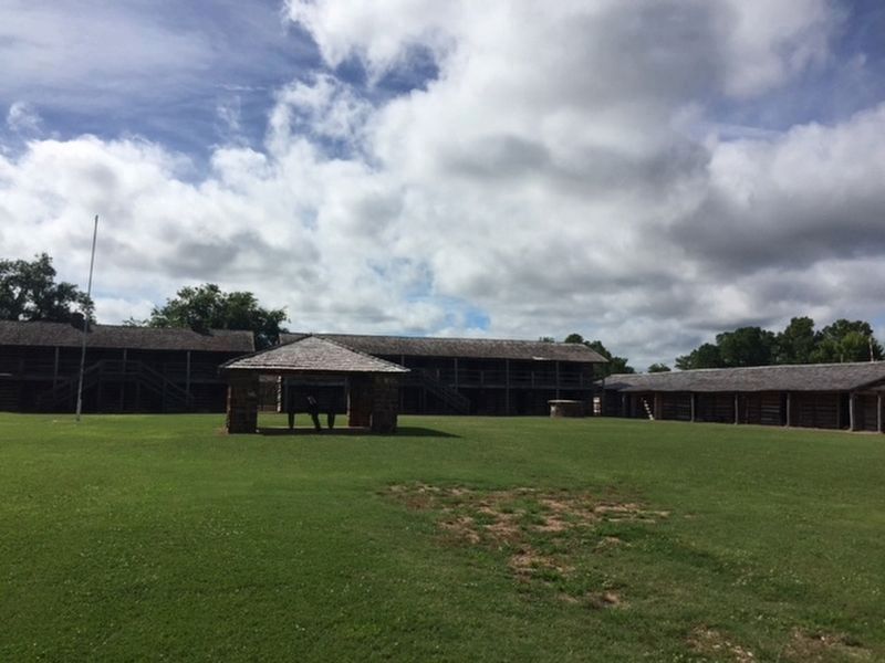
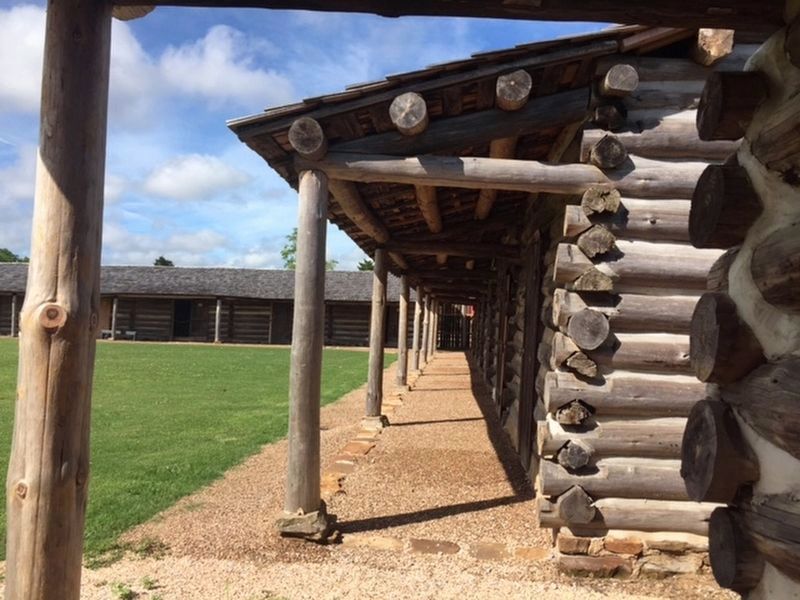
Fort Gibson in Muskogee County, Oklahoma — The American South (West South Central)
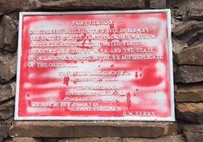
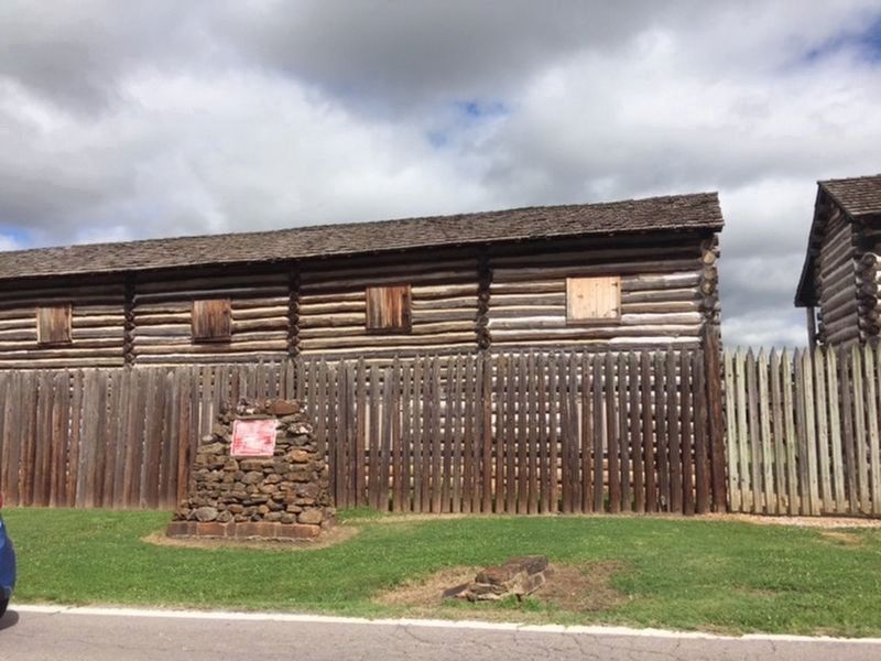
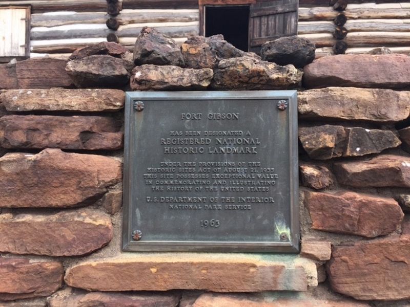
Fort Gibson
Topics and series. This historical marker is listed in these topic lists: Man-Made Features • Wars, US Indian. In addition, it is included in the National Historic Landmarks series list. A significant historical year for this entry is 1824.
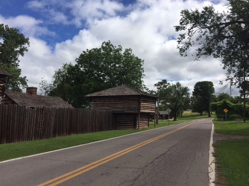
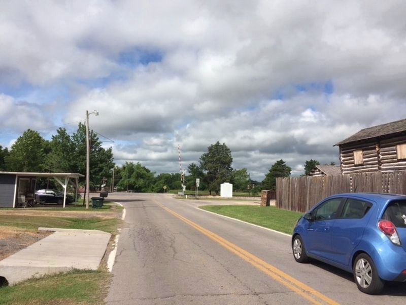
Location. 35° 48.212′ N, 95° 15.429′ W. Marker is in Fort Gibson, Oklahoma, in Muskogee County. Marker is on East Ash Avenue just east of Lee Street, on the left when traveling east. Touch for map. Marker is in this post office area: Fort Gibson OK 74434, United States of America. Touch for directions.
Other nearby markers. At least 8 other markers are within 5 miles of this marker, measured as the crow flies. Telephones in 1886 (a few steps from this marker); Fort Gibson Stockade Well (a few steps from this marker); Seventh United States Infantry (approx. 0.4 miles away); Troops L & M, Roosevelt's Rough Riders (approx. 3.1 miles away); Memorial U.S.S. Shark (SS174) (approx. 3.1 miles away); Vietnam War Memorial (approx. 3.1 miles away); War Memorial (approx. 3.1 miles away); Texas Road (approx. 4.3 miles away). Touch for a list and map of all markers in Fort Gibson.
Credits. This page was last revised on October 10, 2019. It was originally submitted on July 11, 2019. This page has been viewed 264 times since then and 14 times this year. Photos: 1, 2, 3, 4, 5, 6, 7. submitted on July 11, 2019.
