Groton in Middlesex County, Massachusetts — The American Northeast (New England)
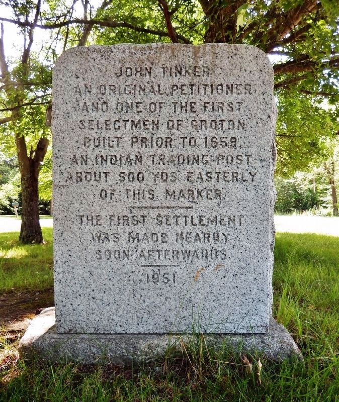
John Tinker / John Shattuck
(marker north side)
an original petitioner
and one of the first
selectmen of Groton
built, prior to 1659,
an Indian trading post
about 500 yds easterly
of this marker.
The first settlement
was made nearby
soon afterwards.
1951
(marker south side)
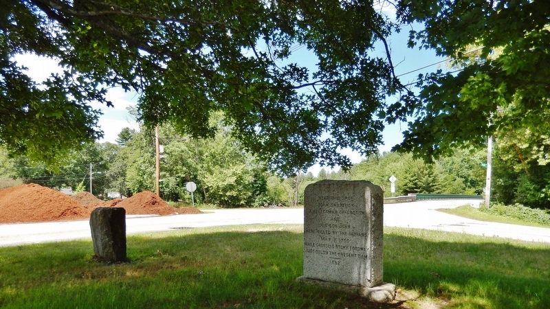
John Shattuck
a selectman of Groton
and
his son John
were killed by the Indians
May 8, 1709
while crossing stony fordway
just below the present dam
1892
Erected 1951.
Topics. This historical marker is listed in these topic lists: Colonial Era • Native Americans • Settlements & Settlers. A significant historical year for this entry is 1659.
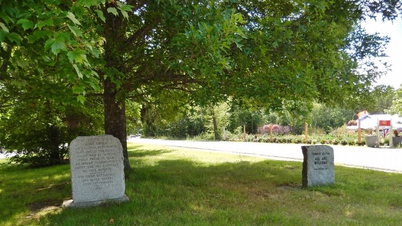
Location. 42° 37.573′ N, 71° 35.535′ W. Marker is in Groton, Massachusetts, in Middlesex County. Marker is at the intersection of Main Street (State Highway 111) and Fitchs Bridge Road, on the left when traveling south on Main Street. Marker is located at the north end of a small triangular plaza bounded by Main Street, Fitchs Bridge Road, and Nod Road. Touch for map. Marker is in this post office area: Groton MA 01450, United States of America. Touch for directions.
Other nearby markers. At least 8 other markers are within 7 miles of this marker, measured as the crow flies. Parker House (approx. 1.6 miles away); Groton (approx. 1.7 miles away); Camp Stevens Muster Ground (approx. 3.4 miles away); The Revolutionary Tavern (approx. 4 miles away); Dunstable (approx. 4.2 miles away); Shirley Civil War Memorial (approx. 4.7 miles away); American Revolution Memorial (approx. 4.7 miles away); Old Parsonage (approx. 6.4 miles away). Touch for a list and map of all markers in Groton.
Also see . . . Groton During the Indian Wars. The early settlers of Groton encountered many trials and privations in planting the town. The men worked hard in felling trees and breaking ground, and the women toiled faithfully in their rude homes. They lived on the rough edge of civilization, and nothing stood between them and an unbroken wilderness. (Submitted on July 13, 2019, by Cosmos Mariner of Cape Canaveral, Florida.)
Credits. This page was last revised on July 13, 2019. It was originally submitted on July 13, 2019, by Cosmos Mariner of Cape Canaveral, Florida. This page has been viewed 384 times since then and 26 times this year. Photos: 1, 2, 3, 4. submitted on July 13, 2019, by Cosmos Mariner of Cape Canaveral, Florida.


