Kermit in Mingo County, West Virginia — The American South (Appalachia)
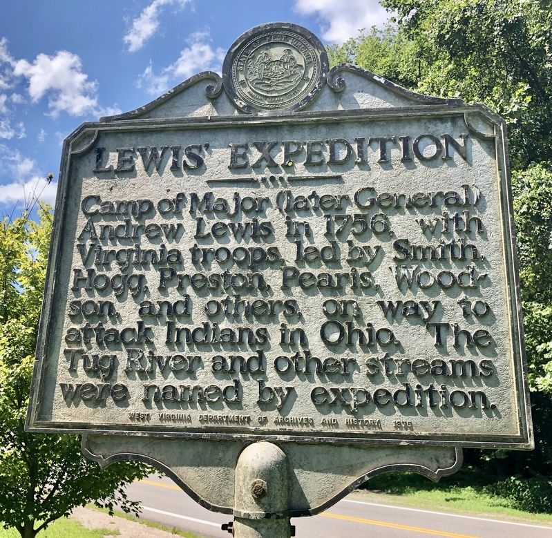
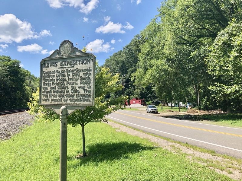
Lewis' Expedition
Erected 1975 by West Virginia Department of Archives and History.
Topics and series. This historical marker is listed in these topic lists: Colonial Era • Exploration • Wars, US Indian • Waterways & Vessels. In addition, it is included in the West Virginia Archives and History series list. A significant historical year for this entry is 1756.
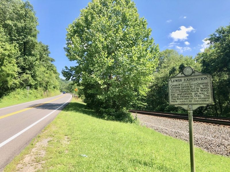
Location. 37° 50.047′ N, 82° 24.28′ W. Marker is in Kermit, West Virginia, in Mingo County. Marker is on U.S. 52, on the right when traveling south. Touch for map. Marker is in this post office area: Kermit WV 25674, United States of America. Touch for directions.
Other nearby markers. At least 8 other markers are within 8 miles of this marker, measured as the crow flies. Warfield / A Warfield Skirmish (approx. one mile away in Kentucky); Revolutionary War Soldier’s Grave (approx. 4˝ miles away); Huntleyville (approx. 6.7 miles away in Kentucky); Moses Stepp (approx. 6.9 miles away in Kentucky); William McCoy, Sr. / Lewis Dempsey (approx. 7.7 miles away in Kentucky); County Named, 1870 / Henry L. Clay, D.D. (approx. 7.7 miles away in Kentucky); Martin County Veterans Memorial (approx. 7.7 miles away in Kentucky); Pioneer Ward / Educator Ward (approx. 7.7 miles away in Kentucky).
Also see . . . Wikipedia on Andrew Lewis during the French & Indian War period. (Submitted on September 5, 2019, by Mark Hilton of Montgomery, Alabama.)
Credits. This page was last revised on December 28, 2019. It was originally submitted on July 13, 2019, by Mark Hilton of Montgomery, Alabama. This page has been viewed 397 times since then and 28 times this year. Photos: 1, 2, 3. submitted on July 13, 2019, by Mark Hilton of Montgomery, Alabama.


