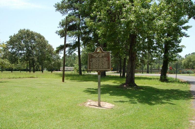
Niblett's Bluff in Calcasieu Parish, Louisiana — The American South (West South Central)
The Old Confederate Military Road
1862-1865
In 1862 when federal troops captured New Orleans and blockaded the mouth of the Mississippi River, Confederate forces under Maj. Gen. Richard Taylor established headquarters in Central Louisiana, where they successfully stopped Maj. Gen. Nathaniel Banks' army in its drive to take West Louisiana. To furnish Taylor's army with supplies, a military road was established from Niblett's Bluff to Alexandria. This marks the beginning of the 18 mile route of the Old Confederate Military Road through Calcasieu Parish.
Erected 2005 by Niblett's Bluff Confederate Historical Society.
Topics. This historical marker is listed in these topic lists: Roads & Vehicles • War, US Civil.
Location. 30° 12.016′ N, 93° 40.613′ W. Marker is in Niblett's Bluff, Louisiana, in Calcasieu Parish. Marker is at the intersection of Niblett Bluff Road and Wright Road, on the left when traveling west on Niblett Bluff Road. Touch for map. Marker is at or near this postal address: 3409 Niblett Bluff Road, Vinton LA 70668, United States of America. Touch for directions.
Other nearby markers. At least 8 other markers are within 8 miles of this marker, measured as the crow flies. Civil War Memorial (here, next to this marker); Timber and Logging (approx. 5.7 miles away in Texas); Emma Henderson Wallace (approx. 7.3 miles away in Texas); Clarence "Gatemouth" Brown (approx. 7.4 miles away in Texas); Hollywood Community Cemetery (approx. 7.4 miles away in Texas); Black Education in Orange County (approx. 7.4 miles away in Texas); Salem United Methodist Church (approx. 7.6 miles away in Texas); a different marker also named Black Education in Orange County (approx. 7.7 miles away in Texas).
Credits. This page was last revised on July 15, 2019. It was originally submitted on July 15, 2019, by Cajun Scrambler of Assumption, Louisiana. This page has been viewed 357 times since then and 38 times this year. Photos: 1, 2, 3. submitted on July 15, 2019.


