West Irvine in Estill County, Kentucky — The American South (East South Central)
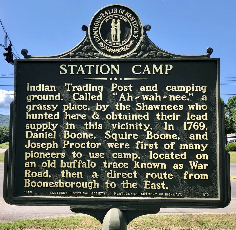
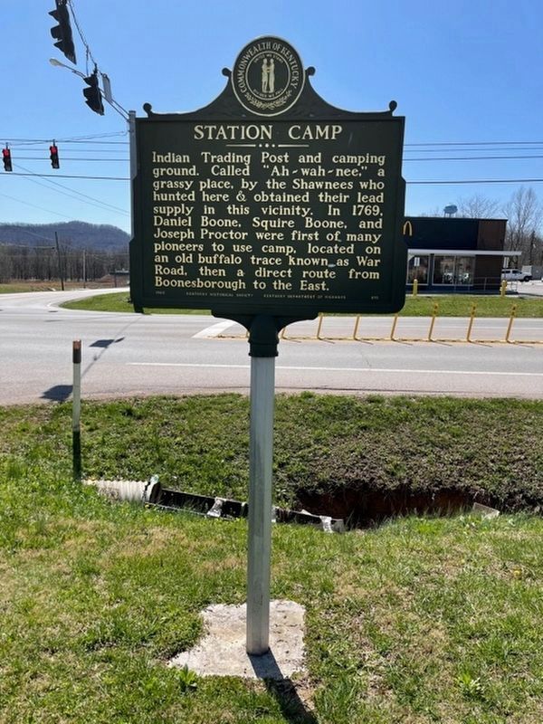
Station Camp
Erected 1965 by Kentucky Historical Society, Kentucky Department of Highways. (Marker Number 810.)
Topics and series. This historical marker is listed in these topic lists: Exploration • Industry & Commerce • Native Americans • Roads & Vehicles. In addition, it is included in the Kentucky Historical Society series list. A significant historical year for this entry is 1769.
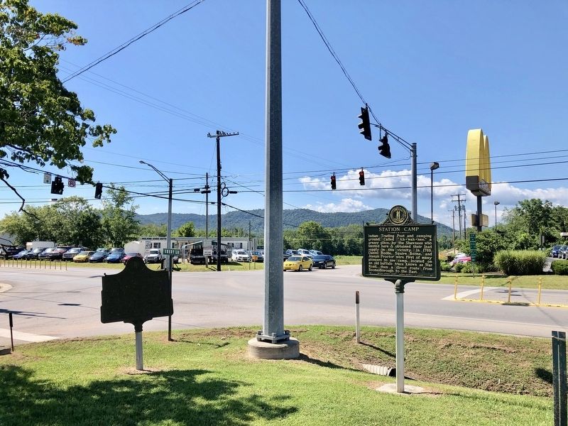
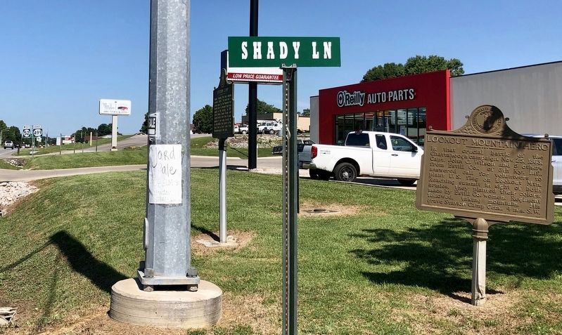
Location. 37° 41.847′ N, 83° 59.245′ W. Marker is in West Irvine, Kentucky, in Estill County. Marker is at the intersection of Richmond Road (Kentucky Route 52) and Shady Lane (Kentucky Route 2473), on the right when traveling west on Richmond Road. Touch for map. Marker is at or near this postal address: 910 Richmond Road, Irvine KY 40336, United States of America. Touch for directions.
Other nearby markers. At least 8 other markers are within 8 miles of this marker, measured as the crow flies. Lookout Mountain Hero (here, next to this marker); Battle of Irvine (approx. 0.7 miles away); Irvine (approx. 0.7 miles away); County Named, 1808 (approx. 0.7 miles away); Estill Seminary / Collegiate Institute (approx. ¾ mile away); Estill Springs (approx. 1.1 miles away); Red River Iron Works / Iron Made in Kentucky (approx. 7.1 miles away); Fitchburg Furnace (approx. 7.8 miles away).
Credits. This page was last revised on March 22, 2021. It was originally submitted on July 16, 2019, by Mark Hilton of Montgomery, Alabama. This page has been viewed 883 times since then and 102 times this year. Photos: 1, 2, 3. submitted on July 16, 2019, by Mark Hilton of Montgomery, Alabama. 4. submitted on March 21, 2021, by Frank Profitt of Georgetown, Kentucky.


