Fort Loramie in Shelby County, Ohio — The American Midwest (Great Lakes)
Fort Loramie
Photographed by Dale K. Benington, July 15, 2019
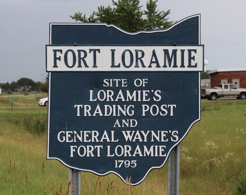
1. Fort Loramie Marker
Site of
Loramie's
Trading Post
and
General Wayne's
Fort Loramie
1795
Topics. This historical marker is listed in these topic lists: Indigenous Peoples and Communities • Industry & Commerce • Settlements & Settlers • Wars, US Indian. A significant historical year for this entry is 1795.
Location. 40° 21.638′ N, 84° 22.488′ W. Marker is in Fort Loramie, Ohio, in Shelby County. It is on Ohio Route 66 south of Canal Road. This marker is located along the west side of the highway, just north of where the roadway crosses Loramie Creek. Touch for map. Marker is in this post office area: Fort Loramie OH 45845, United States of America. Touch for directions.

Regionally, this marker is in Ohio’s Till Plains. It is also in the American Midwest and in the Corn Belt. Globally, it is in North America, the Western Hemisphere, the Western World, and the Anglosphere. Historically, it finds itself in what was once the Haudenosaunee (Iroquois) Confederacy, the territory of the Mississippian Culture, and the Northwest Territory.
Other nearby markers. At least 8 other markers are within walking
this page online
Other markers no longer nearby. Fort Loramie / The Indian Wars, 1790- 1795 (was here, next to this marker but has been confirmed missing); Loramie's Store 1769 & Fort Loramie 1794 (was here, next to this marker but has been confirmed missing); Pioneer Portage (was approx. 0.6 miles away but has been confirmed missing).
Photographed by Dale K. Benington, July 15, 2019
2. Fort Loramie Marker
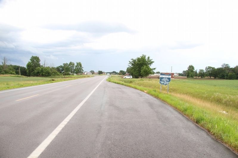
View of the marker looking south along Ohio Route 66.
Photographed by Dale K. Benington, July 15, 2019
3. Fort Loramie Marker
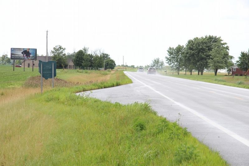
View of the backside of the marker looking north along Ohio Route 66.
Photographed by Craig Doda, June 29, 2024
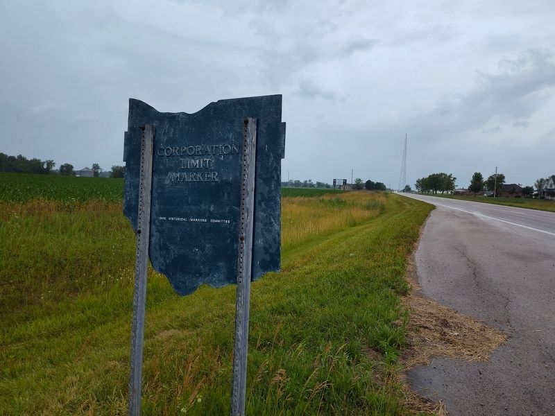
4. Fort Loramie Marker
Credits. This page was last revised on July 2, 2024. It was originally submitted on July 17, 2019, by Dale K. Benington of Toledo, Ohio. This page has been viewed 634 times since then and 68 times this year. Photos: 1, 2, 3. submitted on July 17, 2019, by Dale K. Benington of Toledo, Ohio. 4. submitted on July 1, 2024, by Craig Doda of Napoleon, Ohio.
