Hopkins in Cleveland in Cuyahoga County, Ohio — The American Midwest (Great Lakes)
Puritas Springs Park / The Cyclone Roller Coaster
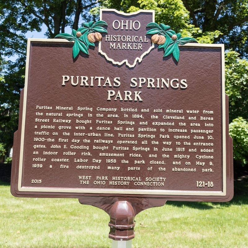
Puritas Mineral Spring Company bottled and sold mineral water from the natural springs in the area. In 1894, the Cleveland and Berea Street Railway bought Puritas Springs and expanded the area into a picnic grove with a dance hall and pavilion to increase passenger traffic on the inter-urban line. Puritas Springs Park opened June 10, 1900—the first day the railway operated all the way to the entrance gates. John E. Gooding bought Puritas Springs in June 1915 and added an indoor roller rink, amusement rides, and the mighty Cyclone roller coaster. Labor Day 1958 the park closed, and on May 9, 1959 a fire destroyed many parts of the abandoned park.
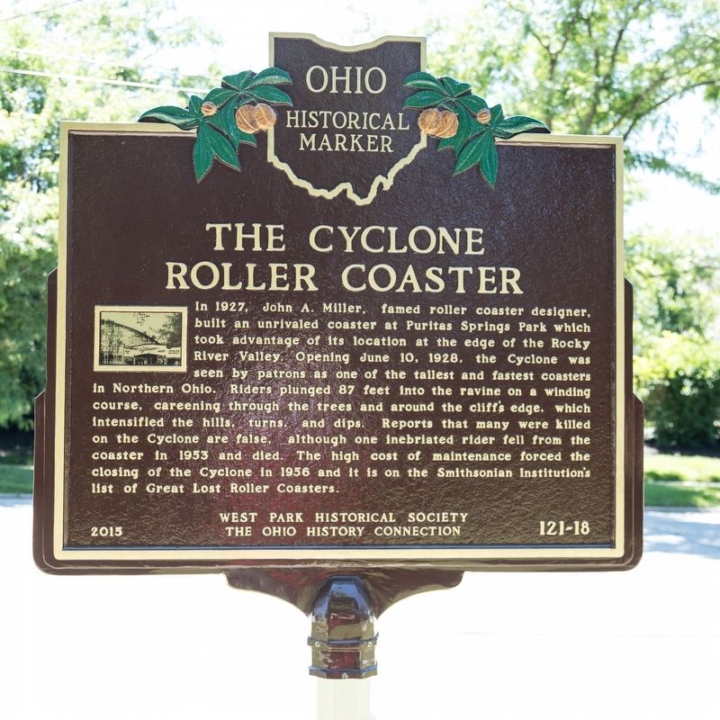
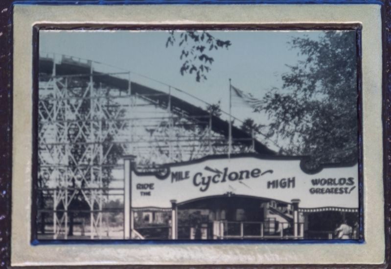
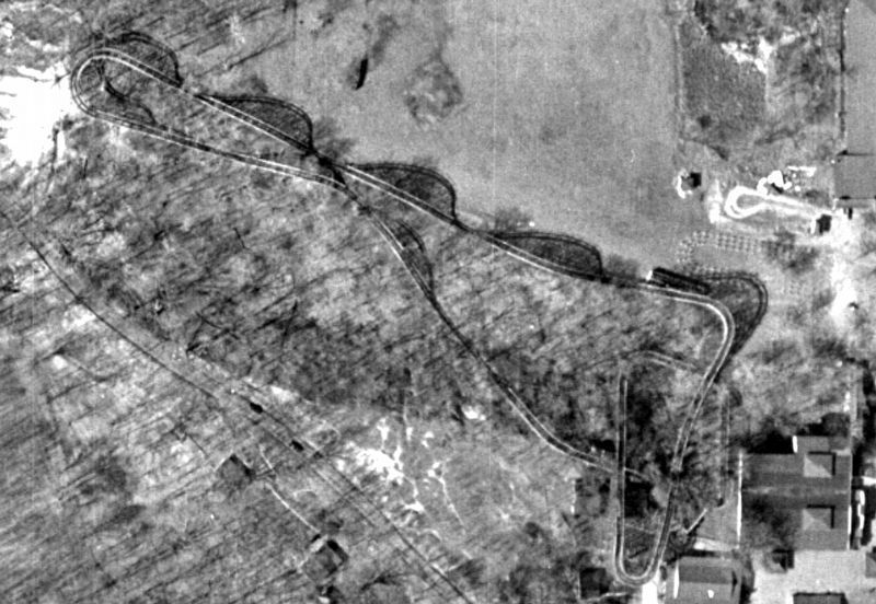
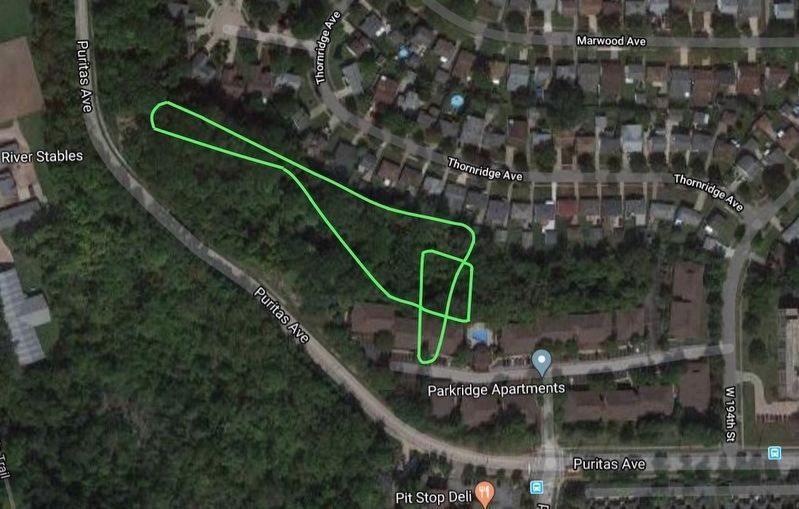
The Cyclone Roller Coaster. In 1927, John A. Miller, famed roller coaster designer, built an unrivaled coaster at Puritas Springs Park which took advantage of its location at the edge of the Rocky River Valley. Opening June 10, 1928, the Cyclone was seen by patrons as one of the tallest and fastest coasters in Northern Ohio. Riders plunged 87 feet into the ravine on a winding course, careening through the trees and around the cliff’s edge, which intensified the hills, turns, and dips. Reports that many were killed on the Cyclone are false, although one inebriated rider fell from the coaster in 1953 and died. The high cost of maintenance forced the closing of the Cyclone in 1956 and it is on the Smithsonian Institution’s list of Great Lost Roller Coasters.
Erected 2015 by West Park Historical Society and The Ohio History Connection. (Marker Number 121-18.)
Topics and series. This historical marker is listed in these topic lists: Industry & Commerce • Parks & Recreational Areas • Railroads & Streetcars • Waterways & Vessels. In addition, it is included in the Ohio Historical Society / The Ohio History Connection series list. A significant historical date for this entry is May 9, 1959.
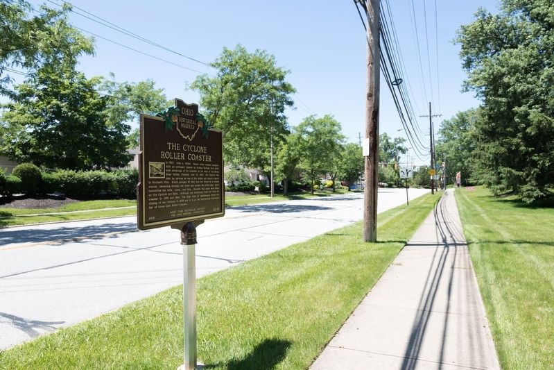
Location. 41° 26.059′ N, 81° 50.217′ W. Marker is in Cleveland, Ohio, in Cuyahoga County. It is in Hopkins. Marker is at the intersection of Puritas Avenue and West 194th Street, on the left when traveling west on Puritas Avenue. Touch for map. Marker is at or near this postal address: 19480 Puritas Ave, Cleveland OH 44135, United States of America. Touch for directions.
Other nearby markers. At least 8 other markers are within 4 miles of this marker, measured as the crow flies. Bain Park Cabin (approx. 0.9 miles away); Rockport Cemetery of Pioneer Days (approx. 1.2 miles away); Joseph Peake's Farm (approx. 2.4 miles away); Parker Ranch (approx. 2½ miles away); A Modern-Day Exodus (approx. 3 miles away); John J. Donnelly (approx. 3 miles away); The West Park African American Community (approx. 3.2 miles away); Clague Family Homestead (approx. 3.2 miles away). Touch for a list and map of all markers in Cleveland.
More about this marker. This historical marker has been placed at the entrance to the park. The land on which it stood is now a residential development.
Credits. This page was last revised on February 4, 2023. It was originally submitted on July 17, 2019, by J. J. Prats of Powell, Ohio. This page has been viewed 2,489 times since then and 212 times this year. Photos: 1, 2, 3, 4. submitted on July 17, 2019, by J. J. Prats of Powell, Ohio. 5, 6. submitted on August 19, 2020, by Joel Maus of Parma, Ohio.
