West Liberty in Morgan County, Kentucky — The American South (East South Central)
County Named, 1822
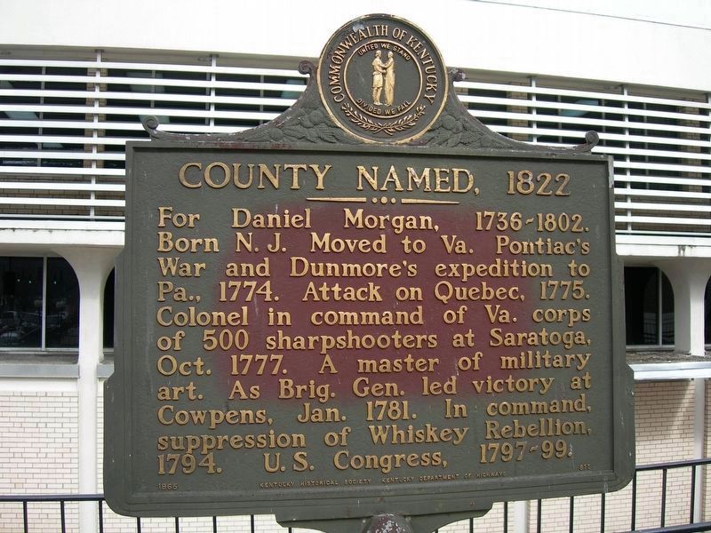
Photographed by Jimmy Emerson, February 16, 2006
1. County Named, 1822 Marker
Erected 1965 by Kentucky Historical Society, Kentucky Department of Highways. (Marker Number 815.)
Topics and series. This historical marker is listed in these topic lists: Colonial Era • Exploration • Settlements & Settlers • War, US Revolutionary • Wars, US Indian. In addition, it is included in the Kentucky Historical Society series list. A significant historical month for this entry is January 1781.
Location. Marker is missing. It was located near 37° 55.241′ N, 83° 15.599′ W. Marker was in West Liberty, Kentucky, in Morgan County. It could be reached from Main Street (U.S. 460) north of Court Street, on the right when traveling north. Was located on Morgan County Courthouse lawn. Touch for map. Marker was at or near this postal address: 518 Main
this page online

Regionally, this marker was in Eastern Kentucky and in the Cumberland Plateau. It was also in the American South, specifically in the Upper South, in Appalachia, and specifically in Southern Appalachia. Globally, it was in North America, the Western Hemisphere, the Western World, and the Anglosphere. Historically, it found itself in what was once the territory of the Mississippian Culture and also the Antebellum South.
Other nearby markers. At least 8 other markers are within 14 miles of this location, measured as the crow flies: Founding of Morgan County / The Old Mill (about 700 feet away, measured in a direct line); West Liberty - Civil War (approx. ¼ mile away); CSA Gens. Morgan USA (approx. ¼ mile away); Skirmish Here / Confederate Raids and Invasions and a Federal Retreat, in Kentucky. (approx. 11½ miles away); Swango Springs Spa (approx. 11.7 miles away); USA Gens. Morgan CSA (approx. 12 miles away); Hazel Green Academy (approx. 12 miles away); A Masterful Retreat / Confederate Raids and Invasions and a Federal Retreat, in Kentucky. (approx.
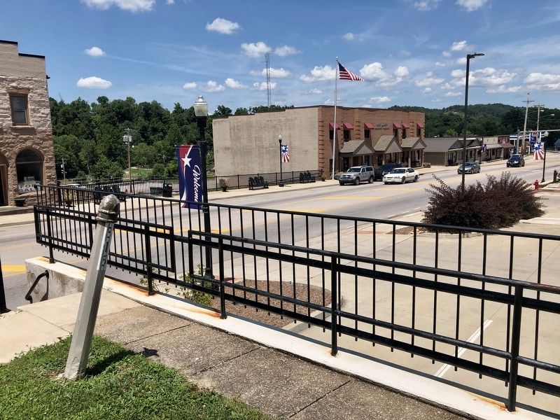
Photographed by Mark Hilton, July 13, 2019
2. Looking north, towards Main Street and missing marker.
Also see . . . Wikipedia article on Daniel Morgan. (Submitted on July 18, 2019, by Mark Hilton of Montgomery, Alabama.)
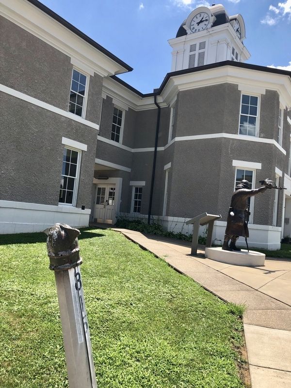
Photographed by Mark Hilton, July 13, 2019
3. View towards courthouse showing only marker pole left.
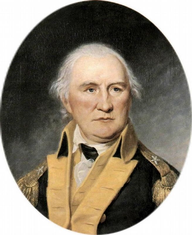
Public domain
4. Daniel Morgan (July 6, 1736 – July 6, 1802)
Credits. This page was last revised on May 31, 2026. It was originally submitted on July 18, 2019, by Mark Hilton of Montgomery, Alabama. This page has been viewed 326 times since then and 34 times this year. Photos: 1. submitted on May 30, 2026, by Jimmy Emerson of Dalton, Georgia. 2, 3, 4. submitted on July 18, 2019, by Mark Hilton of Montgomery, Alabama.
