Near Fort Lawn in Chester County, South Carolina — The American South (South Atlantic)
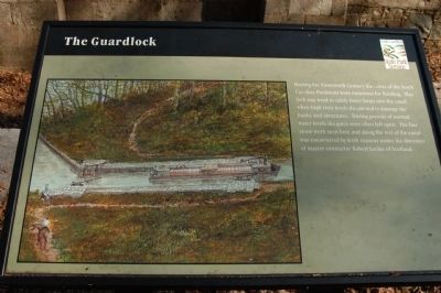
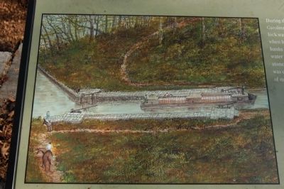
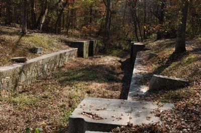
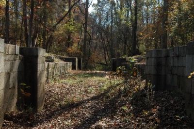
The Guardlock
Erected by South Carolina State Park Service.
Topics. This historical marker is listed in these topic lists: Man-Made Features • Waterways & Vessels.
Location. 34° 47.46′ N, 80° 52.8′ W. Marker is near Fort Lawn, South Carolina, in Chester County. Marker can be reached from Park Drive near Landsford Road (South Carolina Highway 843), on the right when traveling north. Marker is located on the Canal Trail of Landsford Canal State Park. Touch for map. Marker is in this post office area: Fort Lawn SC 29714, United States of America. Touch for directions.
Other nearby markers. At least 8 other markers are within walking distance of this marker. The Dam (here, next to this marker); Landsford Canal State Park Trails (within shouting distance of this marker); Welcome to Landsford Canal State Park (about 500 feet away, measured in a direct line); A Nest with a Bird's-Eye View (about 700 feet away); Landsford Canal (approx. 0.2 miles away); Footbridge (approx. 0.4 miles away); Culvert (approx. ¾ mile away); The Canal Bed (approx. 0.8 miles away). Touch for a list and map of all markers in Fort Lawn.
Also see . . . South Carolina Department of Archives and History. (Submitted on November 22, 2008, by Michael Sean Nix of Spartanburg, South Carolina.)
Credits. This page was last revised on June 16, 2016. It was originally submitted on November 21, 2008, by Michael Sean Nix of Spartanburg, South Carolina. This page has been viewed 895 times since then and 12 times this year. Photos: 1, 2, 3, 4. submitted on November 21, 2008, by Michael Sean Nix of Spartanburg, South Carolina. • Craig Swain was the editor who published this page.


