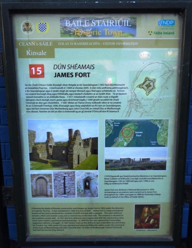
Dún Shéamais / James Fort
Tar éis Chath Chionn tSáile thosaigh obair thógála ar An Seandaingean i 1602 faoi stiúrthóireacht an Innealtóra Paul Ive. Críochnaíodh é i 1604 ar chostas £645. Is dún mór, urdhúnta, peinteagánach, é An Seandaingean agus é taobh istigh de rampar ithreach agus fóid agus uchtbhalla air. Áiríonn na cosaintí lasmuigh díog agus frithbhalla, agus bealach clúdaithe ar an taobh thiar. Tá an bealach isteach lonnaithe ar an imbhalla theas. I 1611 méadaíodh cosaintí an dúin nuair a tógadh daingean cloch laistigh, teach geata agus droichead tógála. I 1649 ghabh tacadóirí de chuid Chromail an dún gan choimhlint. I 1667 dhéan an Tiarna Orrery tuilleadh oibre ar na cosaintí. Ar an 3 Deireadh Fómhair, 1690, d'ionsaigh agus thóg saighdiúirí ar Rí Liam an Seandaingean, agus iad faoi cheannas Diúc Wurttenburg agus John Churchill, an chéad Diúc ar Marlborough níos déanaí. Roimhe sin bhí an dún á choinneáil ag an gCoirnéal O'Driscoll don Rí Séamus II.
I 1970 fógraíodh gur Séadchomhartha Náisiúnta é an Seandaingean. Rinne Coláiste na hOllscoile, Corcaigh, tochailtí seandálaíochta sa Seandaingean i rith na 1980'aidí agus arís i 1998, ar son Oifig
na nOibreacha Poiblí.
James Fort was declared a National Monument in 1970. Archaeological excavations were carried out in James Fort throughout the 1980's and again in 1998, by University College Cork, on behalf of the Office of Public Works.
Erected by Town of Kinsale, Cork County Council,
Topics. This historical marker is listed in these topic lists: Forts and Castles • Man-Made Features • Wars, Non-US. A significant historical year for this entry is 1602.
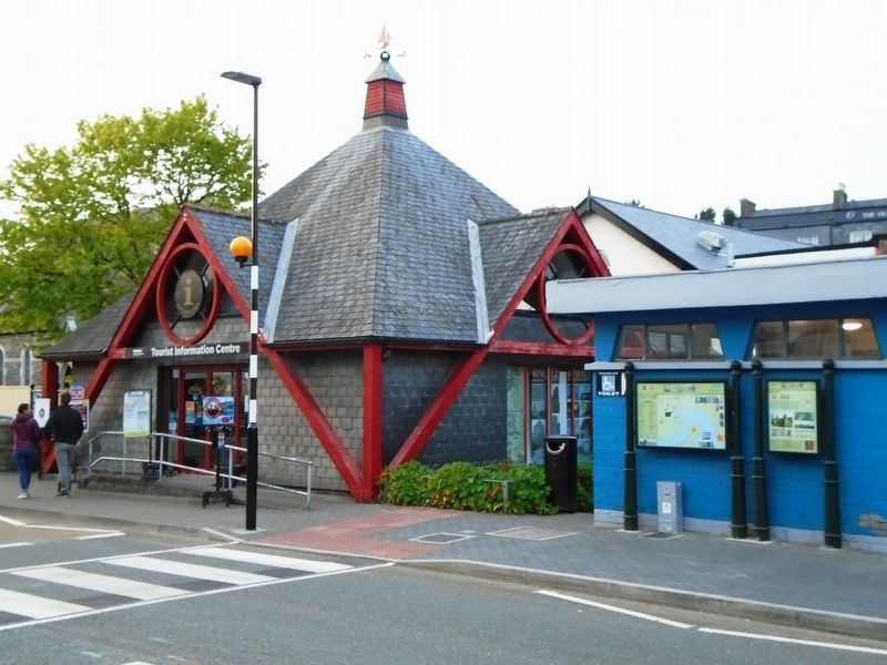
Location. 51° 42.317′ N, 8° 31.334′ W. Marker is in Kinsale, Munster, in County Cork. Marker is on Pier Road (Munster Route R600) just south of Emmet Place, on the right when traveling north. Marker is just SE of the Tourist Information Centre. Touch for map. Marker is in this post office area: Kinsale, Munster P17 C973, Ireland. Touch for directions.
Other nearby markers. At least 8 other markers are within walking distance of this marker. Fish Shed / Bothán na nÉisc (a few steps from this marker); Dún Cathal / Charles Fort (a few steps from this marker); Blue Haven Old Fish Market Wall Restoration (about 150 meters away, measured in a direct line); The White House (about 150 meters away); Lt Michael P Murphy (about 150 meters away); The History of The Tumble Cart (about 150 meters away); Kinsale - A Walled Town (about 150 meters away); Kinsale Town Wall (about 150 meters away). Touch for a list and map of all markers in Kinsale.
Also see . . . James's Fort, Kinsale. (Submitted on July 27, 2019, by William Fischer, Jr. of Scranton, Pennsylvania.)
Credits. This page was last revised on July 27, 2019. It was originally submitted on July 27, 2019, by William Fischer, Jr. of Scranton, Pennsylvania. This page has been viewed 138 times since then and 5 times this year. Photos: 1, 2. submitted on July 27, 2019, by William Fischer, Jr. of Scranton, Pennsylvania.

