West Sacramento in Yolo County, California — The American West (Pacific Coastal)
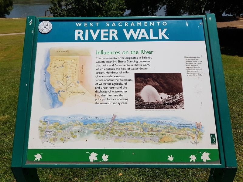
Influences on the River
West Sacramento River Walk
Influences on the River
West Sacramento River Walk
The Sacramento River originates in Siskiyou County near Mt. Shasta. Standing between that point and Sacramento is Shasta Dam, which controls the flow of water downstream. Hundreds of miles of man-made levees - which control the diversion of water for agricultural and urban use - and the discharge of wastewater into the river are the principal factors affecting the natural river system.
Even seemingly small, local activities, like hydraulic mining in the late 1800s that raised water levels and destroyed spawning grounds, can seriously disturb the entire downstream river systems. (Circa 1860s)
Erected by Sacramento River Greenway.
Topics. This historical marker is listed in these topic lists: Environment • Industry & Commerce • Waterways & Vessels.
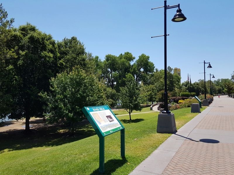
Location. 38° 35.032′ N, 121° 30.519′ W. Marker is in West Sacramento, California, in Yolo County. Marker is on West Sacramento River Walk south of E Street, on the left when traveling south. Touch for map. Marker is in this post office area: West Sacramento CA 95605, United States of America. Touch for directions.
Other nearby markers. At least 8 other markers are within walking distance of this marker. Sacramento Skyline (within shouting distance of this marker); Flood Control (within shouting distance of this marker); Pony Express Bridge (within shouting distance of this marker); Veterans Plaza (within shouting distance of this marker); Hydraulic Mining (within shouting distance of this marker); The Rivers’ Flow (within shouting distance of this marker); Salmon Cannery (about 300 feet away, measured in a direct line); First Pacific Coast Salmon Cannery (about 300 feet away). Touch for a list and map of all markers in West Sacramento.
Credits. This page was last revised on August 3, 2019. It was originally submitted on August 3, 2019, by J. Makali Bruton of Accra, Ghana. This page has been viewed 152 times since then and 8 times this year. Photos: 1, 2. submitted on August 3, 2019, by J. Makali Bruton of Accra, Ghana.

