Fort Recovery in Mercer County, Ohio — The American Midwest (Great Lakes)
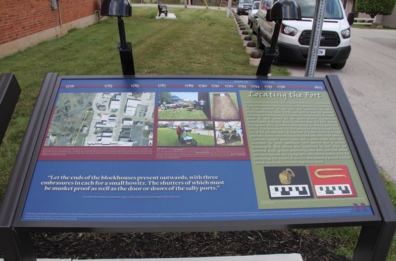
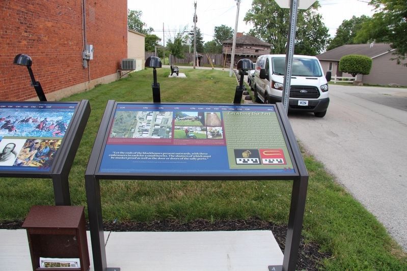
Locating the Fort
--In a letter from Wayne to Burbeck (1793) on the construction and design of Fort Recovery
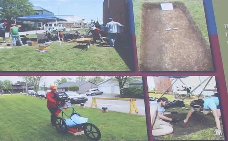
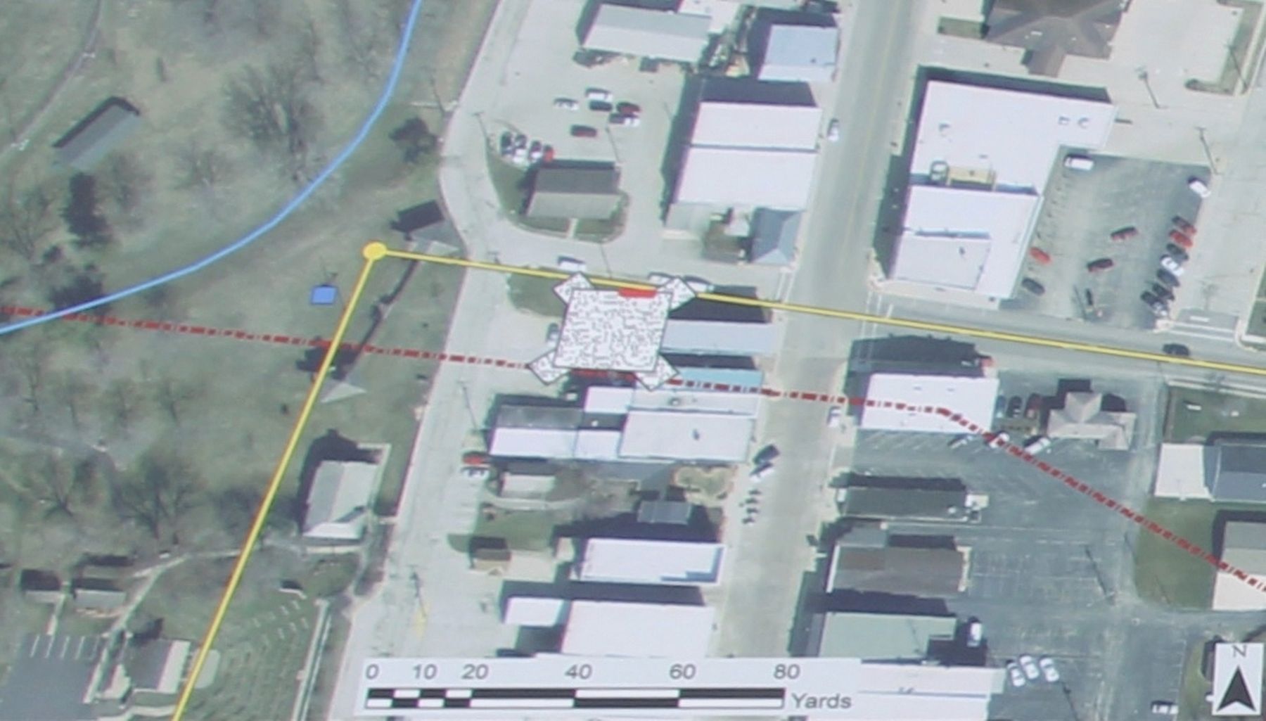
Based on historical records, the original Fort Recovery, constructed in 1793, was known to have been built in this general area. However, the exact location of the fort was unknown. In 2011, ground-penetrating radar (GPR) was used to look for possible archeological features below the surface of the ground on this small parcel of land owned by the Ohio History Connection. Archeologists from Ball State University used this GPR data to strategically place excavation units during an archeological field school. They discovered a 17 foot section of what is thought to be one of the palisade walls. It consisted of a wide trench with large post holes. Battle-era artifacts such as lead balls with intact sprue, a Charleville musket center band, and a strike-a-light were also excavated. In 2016, additional GPR surveys and a second archeological field school were conducted by Ball State. All historical maps, ground-penetrating radar data, and field school data were entered into a geographic information system (GIS) for processing. The results of the GIS data modeling provide a better idea of exactly where the fort might have stood.
Erected by National Park Service American Battlefield Protection Program and the State of Ohio. (Marker Number 11.)
Topics. This historical marker is listed in these topic lists: Forts and Castles • Wars, US Indian. A significant historical year for this entry is 1793.
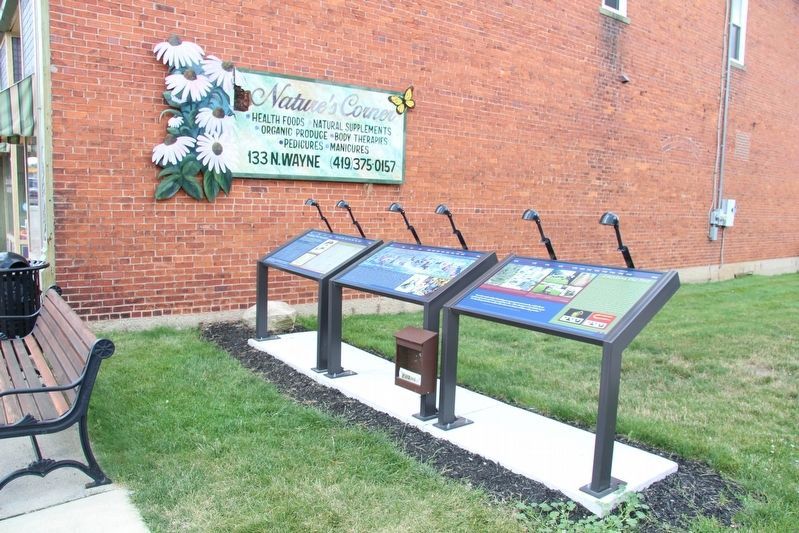
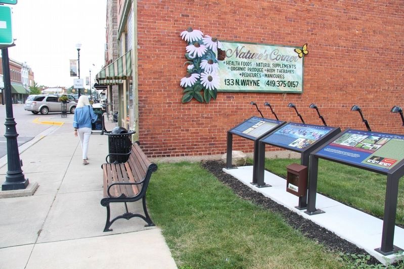
Location. 40° 24.855′ N, 84° 46.776′ W. Marker is in Fort Recovery, Ohio, in Mercer County. Marker is at the intersection of Wayne Street and West Boundary Street, on the right when traveling south on Wayne Street. This marker is part of a cluster of three markers, that are located on the southwest corner of the intersection, on a sliver of a vacant lot, next to a brick building. Touch for map. Marker is at or near this postal address: 133 Wayne Street, Fort Recovery OH 45846, United States of America. Touch for directions.
Other nearby markers. At least 8 other markers are within walking distance of this marker. Battle of Fort Recovery (here, next to this marker); Building Fort Recovery (here, next to this marker); a different marker also named The Battle of Fort Recovery (within shouting distance of this marker); The Role of Women in the Battle (within shouting distance of this marker); St. Clair's Defeat / Battle of Fort Recovery (within shouting distance of
Photographed By Dale K. Benington, July 15, 2019
2. Locating the Fort Marker
Close-up view of four features that are displayed on this marker. The captions read as follows: Top Left: Excavation units during Ball State University's 2011 archeological field school. Credit: Christine Thompson,
Ball State University. Top Right: The 17 foot section of what appears to be original fort palisade wall, discovered in 2011. The trench is the lighter colored soil. Look closely to see the darker circles within the trench that are the post holes. Credit: Christine Thompson, Ball State University. Bottom Left: Ball State University graduate student Amanda Balough conducting ground-penetrating radar in 2016. Credit: Kevin C. Nolan, Ball State University. Bottom Right: Ball State University students and local visitor excavating and screening dirt during 2016 field school. Credit: Mark Pummell, The Daily Standard.
Photographed By Dale K. Benington, July 15, 2019
3. Locating the Fort Marker
Close-up view of the satellite photo map that is displayed on this marker. The caption reads as follows: Map drawn in GIS that shows the original sketch map from Wayne to Burbeck on the landscape with the 17 foot palisade wall discovered during the 2011 field school shown as the short red line. The yellow line and dot represents the Greenville Treaty Line which follows Boundary Street. The blue line signifies the old route of the Wabash River. The burgundy dashed line is the approximate location of St. Clair's Trace which marks the path that St. Clair originally took from Fort Jefferson. The blue square marks the location of the fort well discovered in 1936. GIS Map Credit: Applied Anthropology
Laboratories, Ball State University.
Credits. This page was last revised on August 4, 2019. It was originally submitted on August 4, 2019, by Dale K. Benington of Toledo, Ohio. This page has been viewed 261 times since then and 13 times this year. Photos: 1, 2, 3, 4, 5, 6. submitted on August 4, 2019, by Dale K. Benington of Toledo, Ohio.
