Benedict in Charles County, Maryland — The American Northeast (Mid-Atlantic)
On This Farm
Inscription.
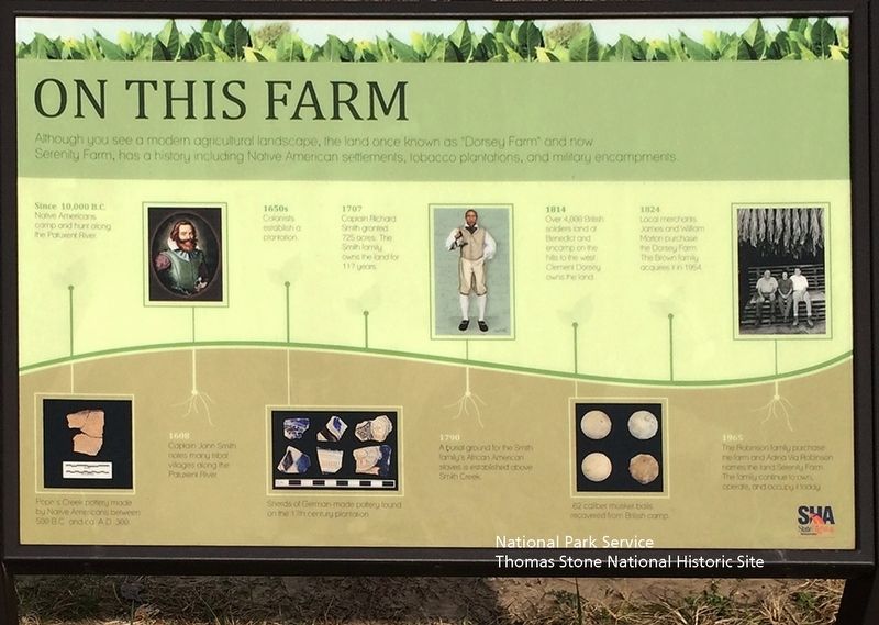
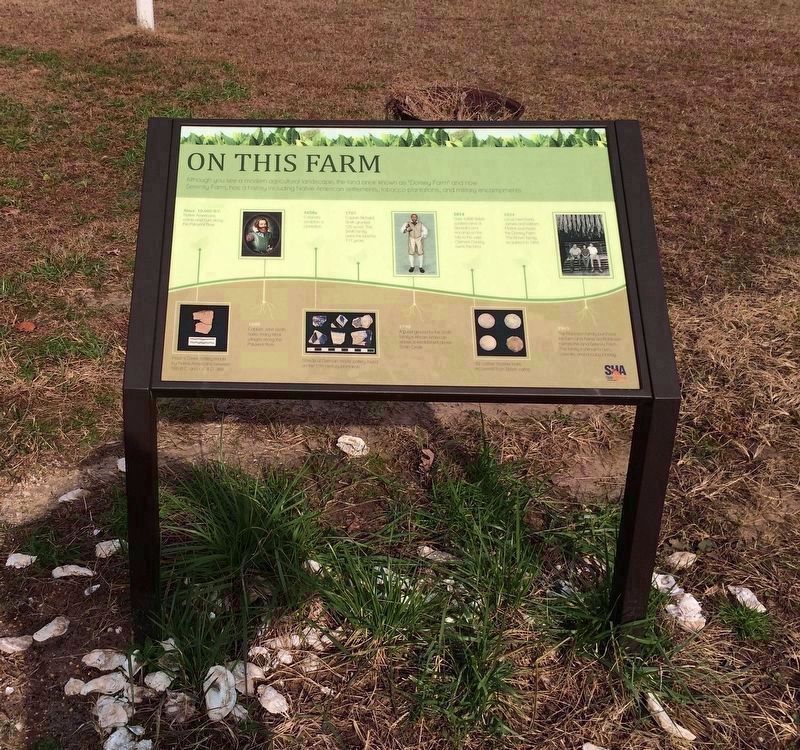
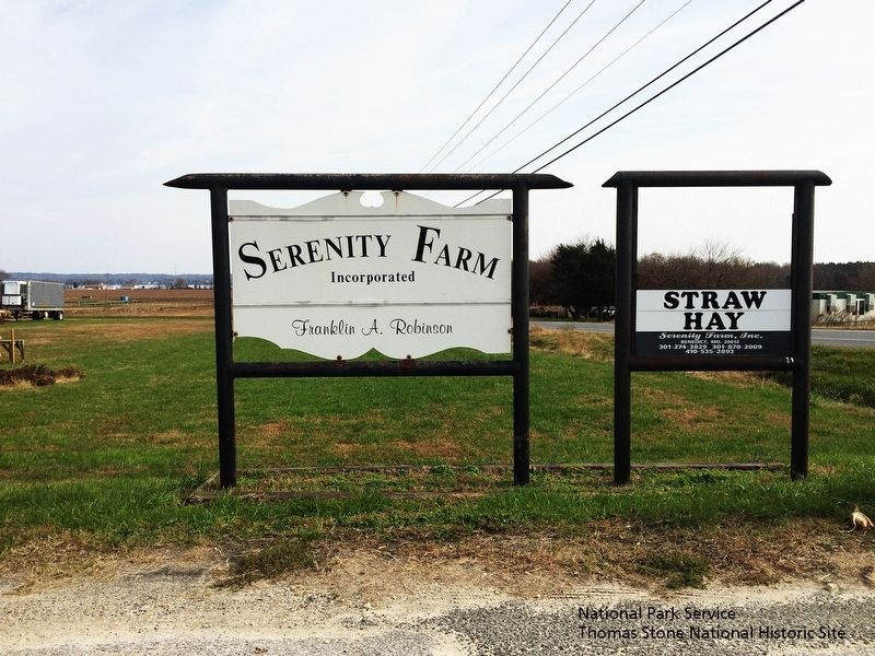
Although you see a modern agricultural landscape, the land once known as "Dorsey Farm" and now Serenity Farm, has a history including Native American settlements, tobacco plantations, and military encampments.
Since 10,000 B.C.
Native Americans camp and hunt along the Patuxent River.
(Image of pottery.)
Pope's Creek pottery made by Native Americans between 500 B.C. and ca. A.D. 300.
1608
Captain John Smith notes many tribal villages along the Patuxent River.
(Image of Captain John Smith)
1650s
Colonists establish a plantation.
(Image of Pottery.)
Shreds of German-made pottery found on the 17th century plantation.
1707
Captain Richard Smith granted 725 acres. The Smith family owns the land for 117 years.
1790
A burial ground for the Smith family African American slaves is established above Smith Creek.
(Image of African American.)
1814
Over 4,000 British soldiers land at Benedict and encamp on the hills to the west. Clement Dorsey owns the land.
(Image of musket balls.)
62 caliber musket balls recovered from British camp.
1824
Local merchants James and William Morton purchase the Dorsey Farm. The Brown family acquires in 1954.
1965
The Robinson family purchase the farm and Adina Via Robinson names the land Serenity Farm. The family continue to own, operate, and occupy it today.
(Logo for the Maryland Department of Transportation's State Highway Administration.)
Topics. This historical marker is listed in these topic lists: Agriculture • Colonial Era • Native Americans • War of 1812. A significant historical year for this entry is 1608.
Location. 38° 31.06′ N, 76° 41.42′ W. Marker is in Benedict, Maryland, in Charles County. Marker is on Serenity Farm Rd, 0.1 miles north of Prince Frederick Rd (Maryland Route 231). Touch for map. Marker is in this post office area: Benedict MD 20612, United States of America. Touch for directions.
Other nearby markers. At least 8 other markers are within 2 miles of this marker, measured as the crow flies. Camp Stanton (within shouting distance of this marker); Enemy Camp (within shouting distance of this marker); Solid Ground (approx. 0.2 miles away); a different marker also named Camp Stanton (approx. 0.6 miles away); Benedict (approx. 0.6 miles away); British Have Landed (approx. 0.8 miles away); The British are Coming (approx. 0.8 miles away); War of 1812 (approx. 1.3 miles away). Touch for a list and map of all markers in Benedict.
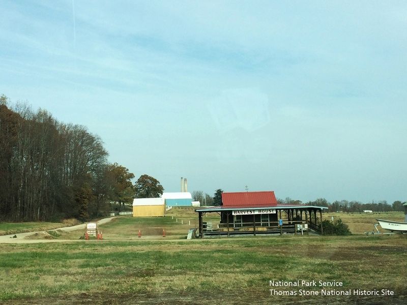
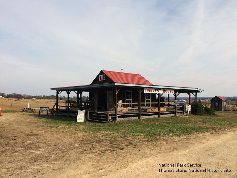
Regarding On This Farm. Marker is located on the northern side of "Harvest House" and about 20 feet from the "Enemy Camp" marker.
Credits. This page was last revised on August 6, 2021. It was originally submitted on August 5, 2019. This page has been viewed 483 times since then and 33 times this year. Photos: 1, 2, 3, 4, 5. submitted on August 5, 2019. • Bill Pfingsten was the editor who published this page.
