Walton in Roane County, West Virginia — The American South (Appalachia)
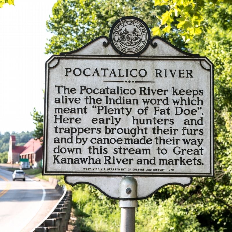
Pocatalico River
Erected 1979 by West Virginia Department of Culture and History.
Topics and series. This historical marker is listed in these topic lists: Native Americans • Settlements & Settlers. In addition, it is included in the West Virginia Archives and History series list.
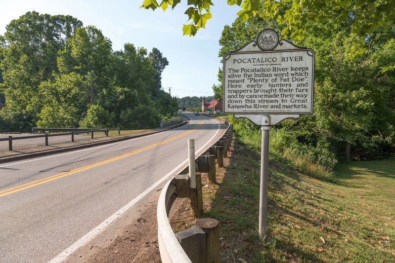
Location. 38° 38.317′ N, 81° 24.144′ W. Marker is in Walton, West Virginia, in Roane County. Marker is on Charleston Road (U.S. 119) south of River Road (Local Route 34), on the left when traveling north. At Bessie Jones Memorial Park on the approach to the bridge. Touch for map. Marker is at or near this postal address: 7032 Charleston Rd, Walton WV 25286, United States of America. Touch for directions.
Other nearby markers. At least 8 other markers are within 12 miles of this marker, measured as the crow flies. Petrochemical Plant (approx. 10.7 miles away); Col. George Clendenin / Town of Clendenin (approx. 10.8 miles away); Market Street Chapel (approx. 11˝ miles away); St. John's Methodist Church (approx. 11˝ miles away); Spencer (approx. 11.6 miles away); Col. Ruby G. Bradley (approx. 11.6 miles away); Capture of Spencer (approx. 11.6 miles away); U. S. Civil War (approx. 11.6 miles away).
Regarding Pocatalico River. From Wikipedia:
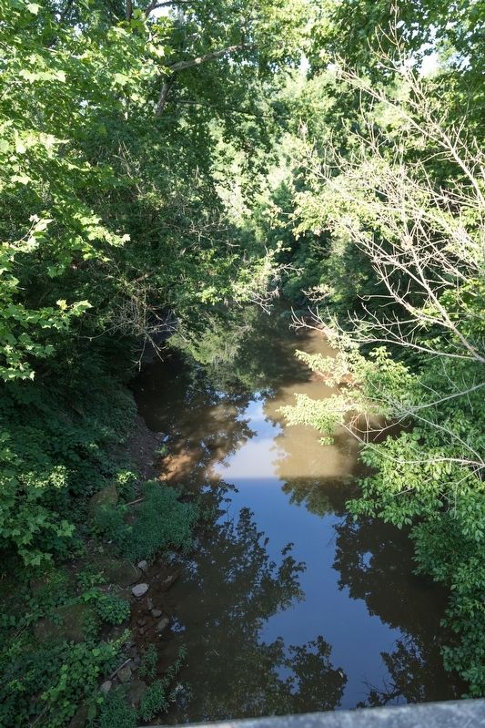
The Pocatalico River is a tributary of the Kanawha River, about 75 mi ong, in west-central West Virginia in the United States. Via the Kanawha and Ohio Rivers, it is part of the Mississippi River watershed.
The Pocatalico rises in Roane County near the community of Looneyville and flows generally southwestwardly through southern Roane, northern Kanawha and southeastern Putnam Counties, past the community of Sissonville. It meets the Kanawha River at the town of Poca.
...
The United States Board on Geographic Names settled on “Pocatalico River” as the stream’s name in 1907. According to the Geographic Names Information System, it has also been known historically as: Paca River • Poca River • Poca Talico River • Pocatalco River • Pocatalica River • Pocataligo River • Pocatellico River • Pocatoligo Creek • Pocotalico River • Pocotaligo River • Poctalico Creek • Pokatalico Creek • Poketalico Creek • Pokotellico Creek.
Credits. This page was last revised on August 16, 2019. It was originally submitted on August 16, 2019, by J. J. Prats of Powell, Ohio. This page has been viewed 509 times since then and 83 times this year. Photos: 1, 2, 3. submitted on August 16, 2019, by J. J. Prats of Powell, Ohio.


