Hardy in Franklin County, Virginia — The American South (Mid-Atlantic)
Freed Here, At Last
Inscription.
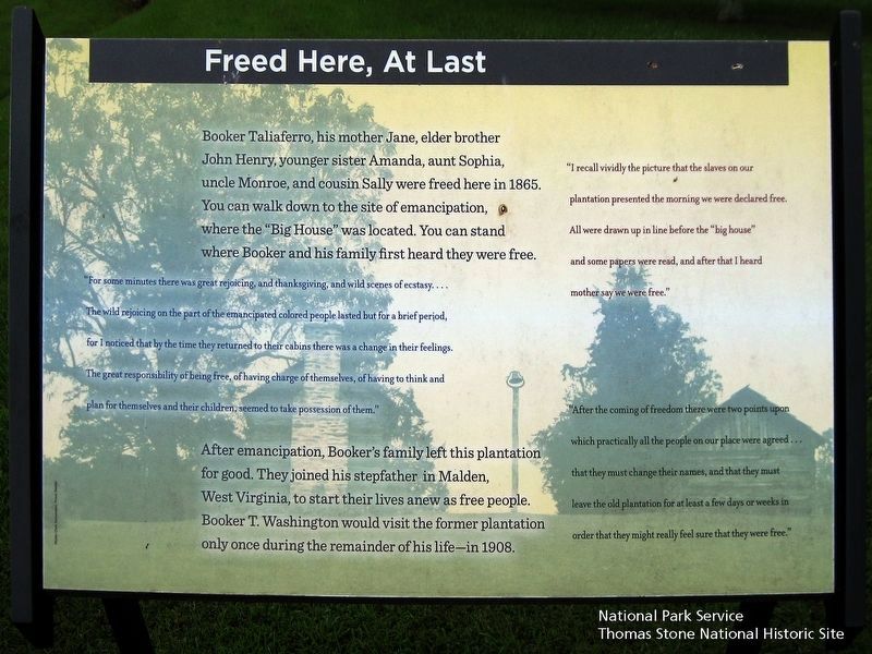
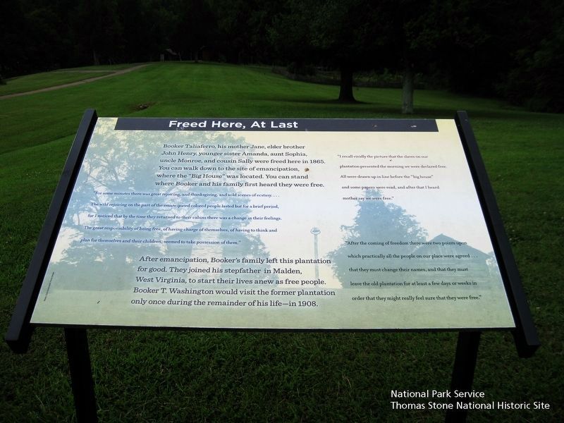
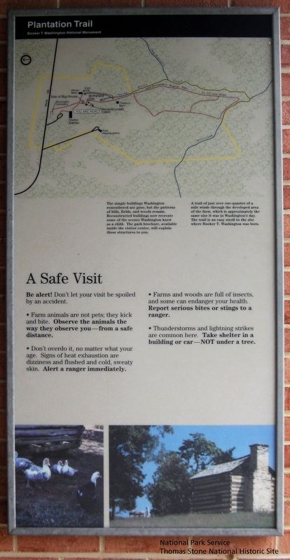
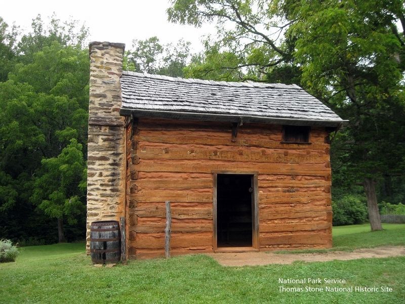
Booker Taliaferro, his mother Jane, elder brother John Henry, younger sister Amanda, aunt Sophia, uncle Monroe, and cousin Sally were freed here in 1865. You can walk down to the site of emancipation, where the "Big House" was located. You can stand where Booker and his family first heard they were free.
"For some minutes there was great rejoicing, and thanksgiving, and wild scenes of ecstasy.... They wild rejoicing on the part of the emancipated colored people lasted for a brief period, for I noticed that by the time they returned to their cabins there was a change in their feelings. The great responsibility of being free, of having charge of themselves, of having to think and plan for themselves and their children, seem to take possession of them."
After emancipation, Booker's family left this plantation for good. They joined his stepfather in Malden, West Virginia, to start their lives as free people. Booker T. Washington would visit the former plantation only once during the remainder of his life—in 1908.
"I recall vividly the picture that the slaves on our plantation presented the morning we were declared free. All were drawn up in a line before the "big house" and some papers were read, and after that I heard mother say we were free."
"After the coming of freedom there were two points upon which practically all the people on our place were agreed...that they must change their names, and that they must leave the old plantation for at least a few days or weeks in order that they might really feel sure that they were free."
Erected by Booker T. Washington National Monument, National Park Service.
Topics. This historical marker is listed in these topic lists: Abolition & Underground RR • African Americans • War, US Civil. A significant historical year for this entry is 1865.
Location. 37° 7.165′ N, 79° 43.877′ W. Marker is in Hardy, Virginia, in Franklin County. Marker can be reached from Booker T Washington Highway (Virginia Route 122) 0.2 miles east of Lost Mountain Road (Route 636), on the right when traveling east. Marker is located behind the Visitor Center at the trailhead. Touch for map. Marker is at or near this postal address: 12130 Booker T Washington Hwy, Hardy VA 24101, United States of America. Touch for directions.
Other nearby markers. At least 8 other markers are within 4 miles of this marker, measured as the crow flies. How Tobacco Farms Used Slavery (here, next to this marker); Slavery on the Plantation (within shouting distance of this marker); Booker T. Washington National Monument (within shouting distance of this marker); Booker T. Washington's Birthplace (within shouting distance of
this marker); Booker T. Washington Birthplace (about 700 feet away, measured in a direct line); Jack-O-Lantern Branch Trail (approx. ¼ mile away); I think that I owe a great deal of my present strength and ability to work to my love of... (approx. 0.7 miles away); Taylor’s Store (approx. 3.4 miles away). Touch for a list and map of all markers in Hardy.
Also see . . .
1. Booker T. Washington National Monument, National Park Service. (Submitted on August 17, 2019.)
2. Dr. Booker Taliaferro Washington, Tuskegee University. (Submitted on August 17, 2019.)
3. Booker T. Washington National Monument, National Register of Historic Places. (Submitted on August 17, 2019.)
Credits. This page was last revised on August 19, 2019. It was originally submitted on August 17, 2019. This page has been viewed 194 times since then and 9 times this year. Photos: 1, 2, 3, 4, 5, 6. submitted on August 17, 2019. • Bernard Fisher was the editor who published this page.
