Near Arnoldsburg in Calhoun County, West Virginia — The American South (Appalachia)
Perry Hays & George Silcott
⎯⎯⎯
Louisa Hays & Amie Silcott
Photographed by J. J. Prats, July 14, 2019
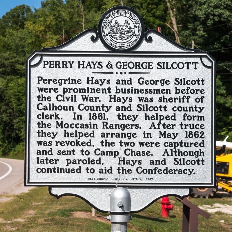
1. Perry Hays & George Silcott side of marker
Perry Hays & George Silcott. Peregrine Hays and George Silcott were prominent businessmen before the Civil War. Hays was sheriff of Calhoun County and Silcott county clerk. In 1861, they helped form the Moccasin Rangers. After truce they helped arrange in May 1862 was revoked, the two were captured and sent to Camp Chase. Although later paroled, Hays and Silcott continued to aid the confederacy.
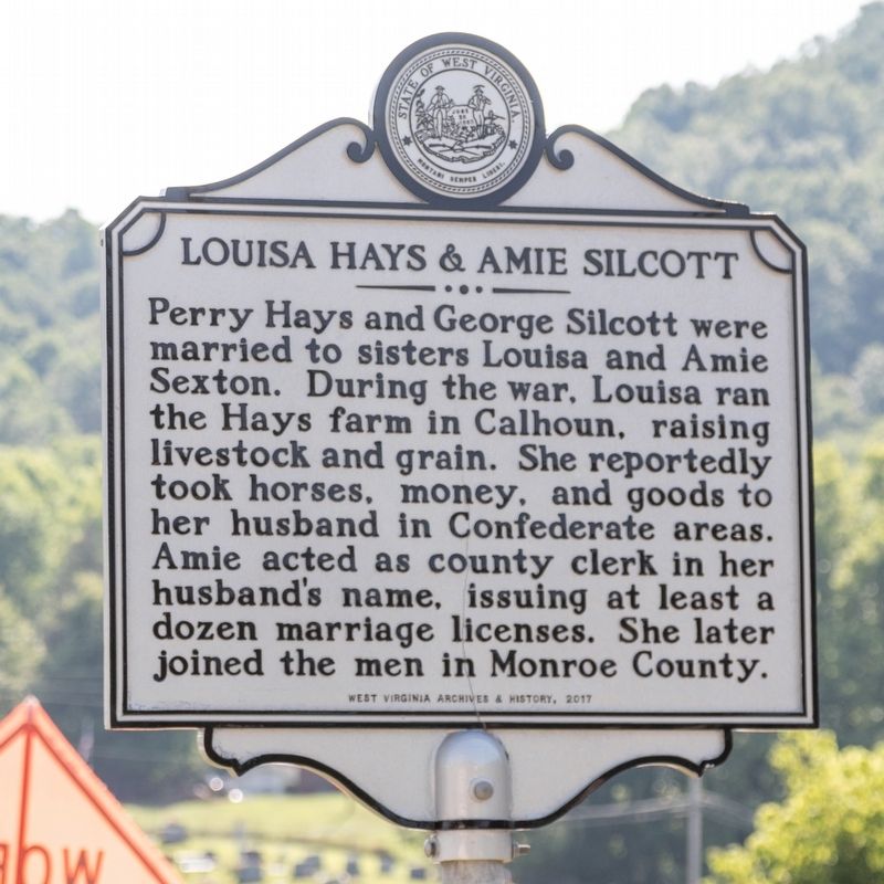
Louisa Hays & Amie Silcott. Perry Hays and George Silcott were married to sisters Loulsa and Amie Sexton. During the war, Louisa ran the Hays farm in Calhoun, raising livestock and grain. She reportedly took horses, money, and goods to her husband in Confederate areas. Amie acted as county clerk in her husband’s name, issuing at least a dozen marriage licenses. She later joined the men in Monroe County.
Erected 2017 by West Virginia Archives and History.
Topics and series. This historical marker is listed in these topic lists: War, US Civil • Women. In addition, it is included in the West Virginia Archives and History series list. A significant historical month for this entry is May 1862.
Location. 38° 47.645′ N, 81° 8.491′ W.
this page online

Regionally, this marker is in West Virginia’s Little Kanawha Valley and specifically in the Mid-Ohio Valley. It is also in the American South, specifically in the Upper South, in Appalachia, and specifically in Southern Appalachia. Globally, it is in North America, the Western Hemisphere, the Western World, and the Anglosphere. Historically, it finds itself in what was once the territory of the Mississippian Culture.
Other nearby markers. At least 8 other markers are within 10 miles of this marker, measured as the crow flies: Arnoldsburg Skirmish (a few steps from this marker); Engagement at Arnoldsburg (a few steps from this marker); Moccasin Rangers (within shouting distance of this marker); Honoring E. Dean Starcher (approx. 5.7 miles away); Grave of Mike Fink
Photographed by J. J. Prats, July 14, 2019
2. Louisa Hays & Amie Silcott side of marker
Photographed by J. J. Prats, July 14, 2019
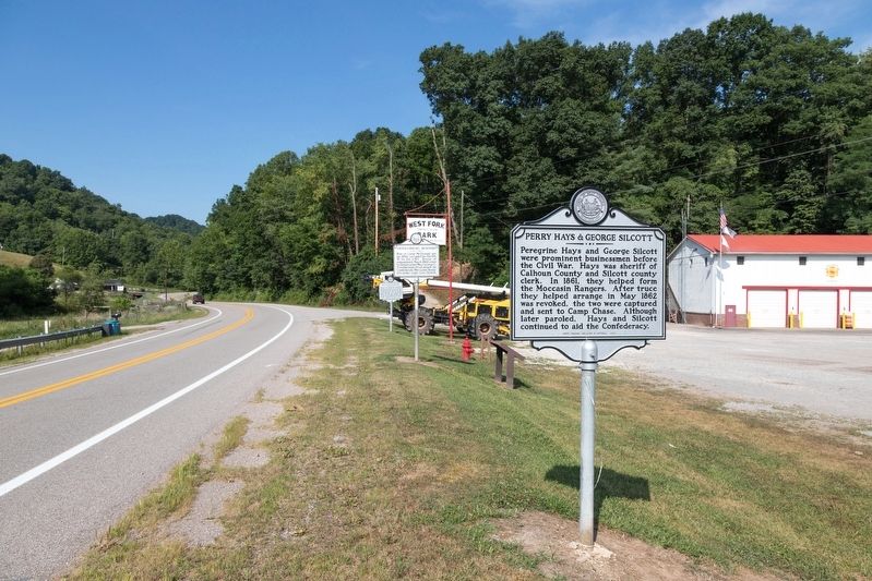
3. This marker and others at West Fork Park
Credits. This page was last revised on December 18, 2024. It was originally submitted on August 17, 2019, by J. J. Prats of Powell, Ohio. This page has been viewed 664 times since then and 31 times this year. Photos: 1, 2, 3. submitted on August 17, 2019, by J. J. Prats of Powell, Ohio.
