Hardy in Franklin County, Virginia — The American South (Mid-Atlantic)
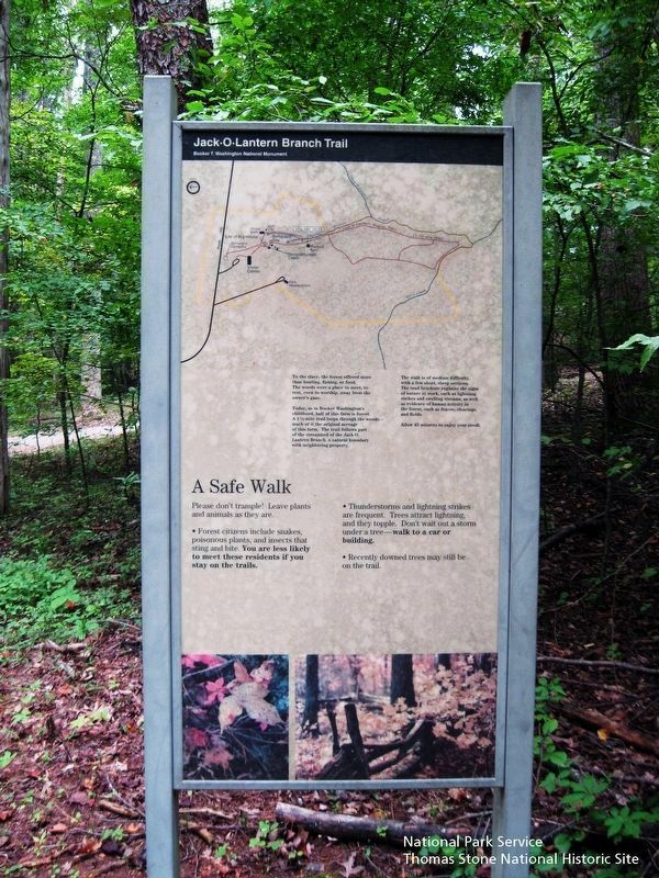
Jack-O-Lantern Branch Trail
Inscription.
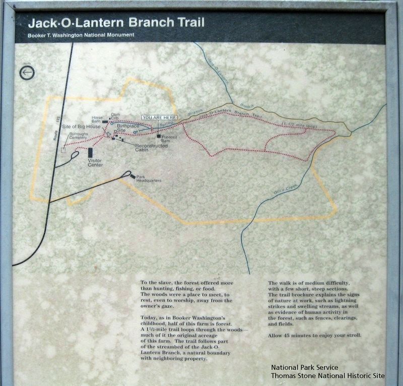
To the slave, the forest offered more than hunting, fishing, or food. The woods were a place to meet, to rest, even to worship, away from the owner's gaze.
Today, as in Booker Washington's childhood, half of this farm is forest. A 1½-mile trail loops through the woods—much of it the original acreage of this farm. The trail follows part of the steambed of the Jack-O-Lantern Branch, a natural boundary with neighboring property.
The walk is of medium difficulty, with a few short, steep sections. The trail brochure explains the signs of nature at work, such as lightning strikes and swelling streams, as well as evidence of human activity in the forest, such as fences, clearings, and fields.
Allow 45 minutes to enjoy your stroll.
A Safe Walk
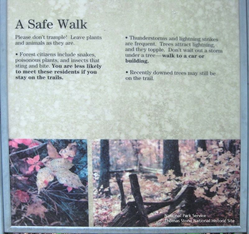
Please don't trample! Leave plants and animals as they are.
• Forest citizens include snakes, poisonous plants, and insects that sting and bite. You are less likely to meet these residents if you stay on the trails.
• Thunderstorms and lightning strikes are frequent. Trees attract lightning and they topple. Don't wait out a storm under a tree—walk to a car or building.
• Recently downed trees may still be on the trail.
Erected by Booker T. Washington National Monument, National Park Service.
Topics. This historical marker is listed in these topic lists: African Americans • Agriculture • Parks & Recreational Areas.
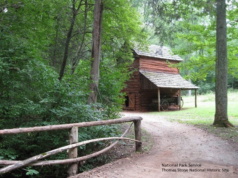
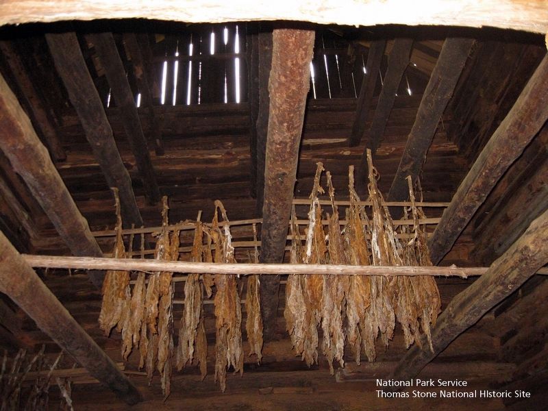
Location. 37° 6.976′ N, 79° 43.814′ W. Marker is in Hardy, Virginia, in Franklin County. Marker can be reached from Booker T Washington Highway (Virginia Route 122) 0.2 miles east of Lost Mountain Road, on the right. Follow trail from Visitor Center southward for 0.2 mile to the Tobacco Barn to find the marker. Touch for map. Marker is at or near this postal address: Plantation Trail, Hardy VA 24101, United States of America. Touch for directions.
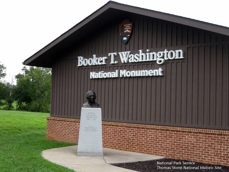
Other nearby markers. At least 8 other markers are within 4 miles of this marker, measured as the crow flies. Freed Here, At Last (approx. ¼ mile away); How Tobacco Farms Used Slavery (approx. ¼ mile away); Slavery on the Plantation (approx. ¼ mile away); Booker T. Washington National Monument (approx. ¼ mile away); Booker T. Washington's Birthplace (approx. ¼ mile away); Booker T. Washington Birthplace (approx. 0.4 miles away); I think that I owe a great deal of my present strength and ability to work to my love of... (approx. 0.4 miles away); Taylor’s Store (approx. 3.4 miles away). Touch for a list and map of all markers in Hardy.
Also see . . .
1. Booker T. Washington National Monument, National Park Service.
(Submitted on August 17, 2019.)
2. Dr. Booker Taliaferro Washington, Tuskegee University. (Submitted on August 17, 2019.)
3. Booker T. Washington National Monument, National Register of Historic Places. (Submitted on August 17, 2019.)
Credits. This page was last revised on August 22, 2019. It was originally submitted on August 17, 2019. This page has been viewed 218 times since then and 13 times this year. Photos: 1, 2, 3, 4, 5, 6. submitted on August 17, 2019. • Bill Pfingsten was the editor who published this page.
