Near Belva in Fayette County, West Virginia — The American South (Appalachia)
Seaberry Arms Osborne
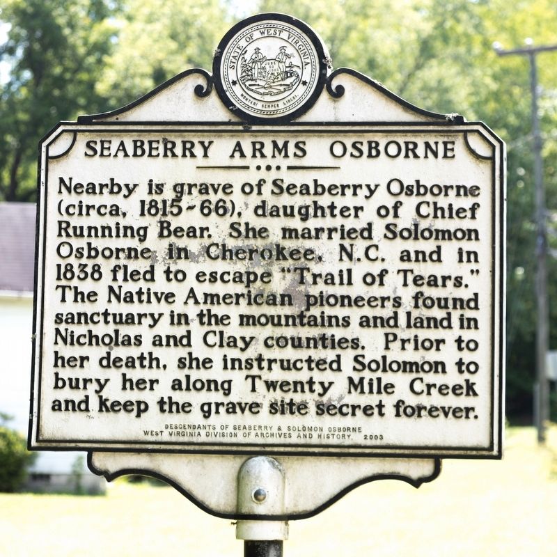
Photographed by J. J. Prats, July 14, 2019
1. Seaberry Arms Osborne Marker
Erected 2003 by Descendants of Seaberry & Solomon Osborne and West Virginia Division of Archives and History.
Topics and series. This historical marker is listed in these topic lists: Indigenous Peoples and Communities • Settlements & Settlers • Women. In addition, it is included in the West Virginia Archives and History series list. A significant historical year for this entry is 1838.
Location. 38° 14.319′ N, 81° 11.429′ W. Marker is near Belva, West Virginia, in Fayette County. It is on Dixie Highway (West Virginia Route 16) just north of Twenty Mile Creek Road (Route 16/3), on the left when traveling south. Touch for map. Marker is in this post office area: Belva WV 26656, United States of America. Touch for directions.

Regionally,
this page online
Other nearby markers. At least 8 other markers are within 7 miles of this marker, measured as the crow flies: Clay County / Nicholas County (approx. 3 miles away); Gauley Bridge War Memorial (approx. 5.2 miles away); Gauley Bridge (approx. 5.3 miles away); Veterans Memorial (approx. 5.3 miles away); Less We Forget (approx. 5.3 miles away); a different marker also named Gauley Bridge (approx. 5.3 miles away); Camp Reynolds (approx. 6.3 miles away); Christopher Q. Tompkins / Gauley Mount (approx. 7.1 miles away).
Another marker is no longer nearby. Battles For The Bridges (was approx. 5.3 miles away but has been replaced with another marker now near it).
More about this marker. Some lists place this marker in Nicholas County.
Related marker.
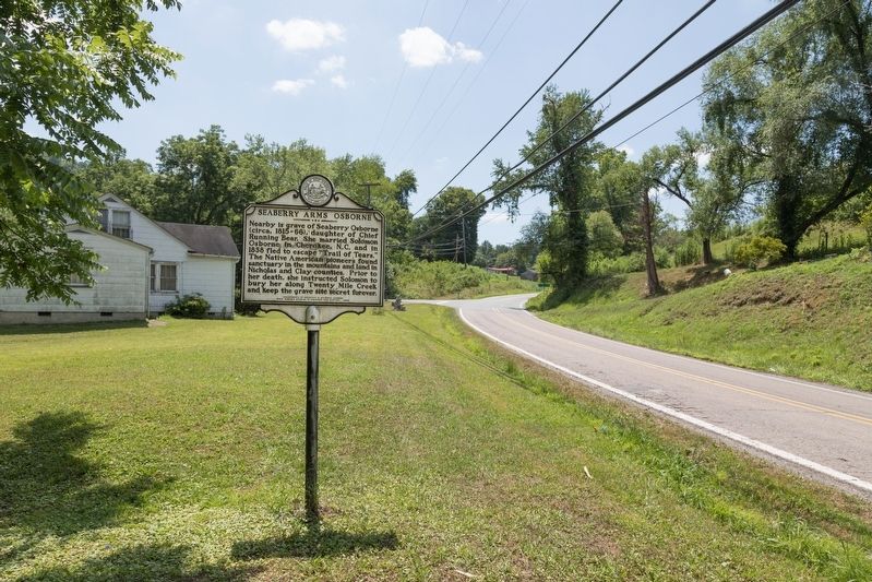
Photographed by J. J. Prats, July 14, 2019
2. Seaberry Arms Osborne Marker
Also see . . . RE: Osborne Indian Blood. Excerpt:
Solomon’s first wife, Seaberry Arms was the daughter of Chief Running Bear Arms, a full blooded Cherokee. After their marriage, they lived in the mountains of North Carolina where it borders Tennessee, along the Ocunaloftee River, until the year 1837. In the beginning of a very dark and trying time for the Cherokee people, the government intended to move all Eastern Indian bands to reservations in the West.(Submitted on August 18, 2019.)
Solomon Osborne avoided this march by moving his family north before removal.They traveled over three states and remained fugitives on the run.They suffered many hardships and disappointments as they traveled on their own trail of tears.They settled for a short while in Tazewell Co.,VA where Solomon built a cabin on Thompson Mountain which is on the south side of Clinch Mountain near Broadford, VA. This is the same area where several of Solomon’s brothers also settled after coming out of NC to VA.The cabin still stands on Thompson Mountain and has been designated a historical home of VA.Solomon gave the cabin to a brother and moved onto Wyoming County VA, now WV, where he and his family were listed in the 1850 census.
The heritage of this family is now presented in a drama titled “Solomon’s Secret” in Clay Co., WV each year. Almost all the members of the cast and crew are descendants of the Osborne family.
Ref. “How the Osbornes came to West Virginia,” by The Solomon and Seaberry Osborne Family of Clay County, West Virginia
Credits. This page was last revised on January 6, 2025. It was originally submitted on August 18, 2019, by J. J. Prats of Powell, Ohio. This page has been viewed 4,036 times since then and 446 times this year. Photos: 1, 2. submitted on August 18, 2019, by J. J. Prats of Powell, Ohio.
