Near Nancy in Pulaski County, Kentucky — The American South (East South Central)
Mill Springs Battlefield
National Historic Landmark
Photographed by Mark Hilton, July 12, 2019
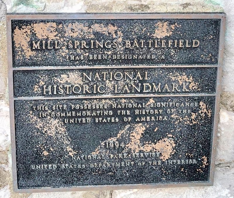
1. Mill Springs Battlefield National Historic Landmark Marker
has been designated a
National Historic Landmark
This site possesses national significance
in commemorating the history of the
United States of America
Erected 1994 by National Park Service, United States Department of the Interior.
Topics and series. This historical marker is listed in these topic lists: Cemeteries & Burial Sites • Landmarks • War, US Civil. In addition, it is included in the National Historic Landmarks series list.
Location. 37° 3.334′ N, 84° 44.364′ W. Marker is near Nancy, Kentucky, in Pulaski County. It is on Kentucky Route 235 0.1 miles south of Route 761, on the left when traveling south. Touch for map. Marker is in this post office area: Nancy KY 42544, United States of America. Touch for directions.

Regionally, this marker is in the Lake Cumberland Region. It is also in the American South, specifically in the Upper South, in Appalachia, and specifically in Southern Appalachia. Globally, it is in North America, the Western Hemisphere, the Western World, and the Anglosphere. Historically,
this page online
Other nearby markers. At least 8 other markers are within walking distance of this marker: A Fatal Mistake (a few steps from this marker); Gen'l Felix K. Zollicoffer (a few steps from this marker); The Zollie Tree (a few steps from this marker); Felix K. Zollicoffer / "Zollie Tree" (a few steps from this marker); Dawn of Battle (within shouting distance of this marker); Confederate Mass Grave Memorial (within shouting distance of this marker); Confederate Dead (within shouting distance of this marker); "Confederate Mass Grave" (within shouting distance of this marker). Touch for a list and map of all markers in Nancy.
Other markers no longer nearby. "The Zollie Tree" (was a few steps from this marker but has been replaced with another marker now near it); Mistaken Identity - A Deadly Error (was a few steps from this marker but has been replaced with another marker now near it); a different marker also named The Dawn of Battle (was within shouting distance of this marker but has been replaced with another marker now
Photographed by Mark Hilton, July 12, 2019
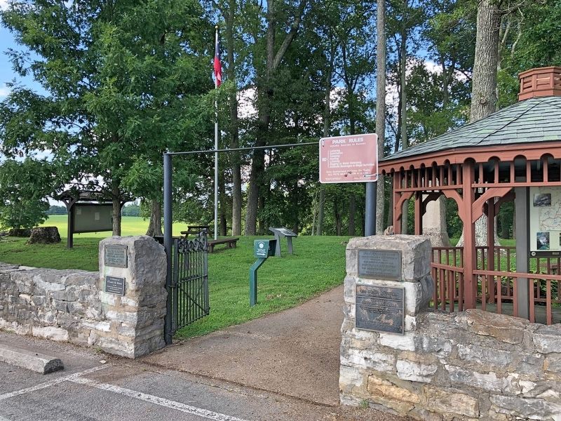
2. NHL marker on right side of stairs.
Photographed by Mark Hilton, July 12, 2019
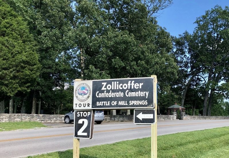
3. Tour Stop #2, Zollicoffer Confederate Cemetery with marker on right.
Credits. This page was last revised on August 18, 2019. It was originally submitted on August 18, 2019, by Mark Hilton of Montgomery, Alabama. This page has been viewed 476 times since then and 43 times this year. Photos: 1, 2, 3. submitted on August 18, 2019, by Mark Hilton of Montgomery, Alabama.
