Mackinaw City in Cheboygan County, Michigan — The American Midwest (Great Lakes)
Before the bridge
The history of the Michigan State Ferry Service
Inscription.
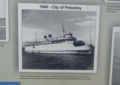
Eight different state owned and operated ferries worked this dock between 1923 and 1957. During those 34 years, the Michigan ferries carried approximately 12 million vehicles and more than 30 million passengers across the Straits of Mackinac. This "highway over water" was unique in being the only service of its kind operated by a state highway department. It came into being through an act of the State Legislature, which reacted to public displeasure with the infrequent and expensive ferry service for motor vehicles provided by railroad boats.
"We all knew we'd eventually have a bridge, but we'll always miss the ferries." George S. Baldwin
Erected by Michigan Department of Natural Resources, Parks and Recreation Division.
Topics. This historical marker is listed in this topic list: Waterways & Vessels. A significant historical year for this entry is 1923.
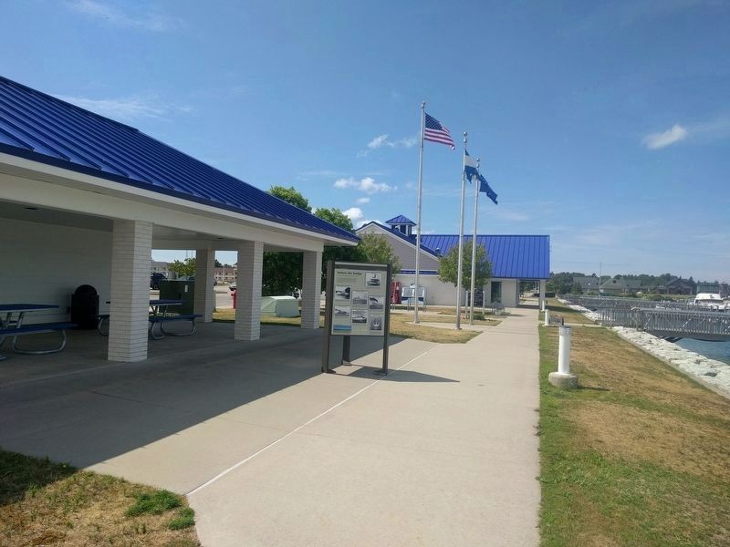
Location. 45° 46.672′ N, 84° 43.298′ W. Marker is in Mackinaw City, Michigan, in Cheboygan County. Marker can be reached from South Huron Avenue north of Wendell Street. Marker is at the far end of Straits State Harbor, near the far (east) shelter. Touch for map. Marker is at or near this postal address: 409 South Huron Avenue, Mackinaw City MI 49701, United States of America. Touch for directions.
Other nearby markers. At least 8 other markers are within walking distance of this marker. Crossing the Straits (here, next to this marker); The Mighty Mac (a few steps from this marker); Windy City? (within shouting distance of this marker); North Central Trail (about 300 feet away, measured in a direct line); Breaking the ice (about 300 feet away); The Meneely Bell (approx. 0.2 miles away); Michigan State Ferry System / Michigan State Car Ferries (approx. 0.2 miles away); Edgar Conkling 1812-1881 (approx. 0.2 miles away). Touch for a list and map of all markers in Mackinaw City.
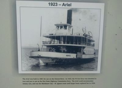
2. 1923 - Ariel (upper right image)
The Ariel was built in 1881 for use on the Detroit River. In 1923, the 95 foot ferry was sheathed in iron and put to use as the first State Highway Commission ferry. The Ariel could accomodate twenty cars, and ran the Mackinaw City - St. Ignace route until larger boats replaced her in 1926.
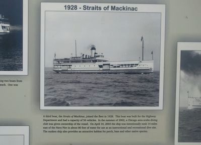
4. 1928 - Straits of Mackinac (upper center image)
A third boat, the Straits of Mackinac, joined the fleet in 1928. This boat was built for the Highway Department and had a capacity of 56 vehicles. In the summer of 2002, a Chicago area scuba diving club was given ownership of the vessel. On April 10, 2003 the ship was intentionally sunk 14 miles east of the Navy Pier in about 80 feet of water for use as an instructional and recreational dive site. The sunken ship also provides an attractive habitat for perch, bass and other native species.
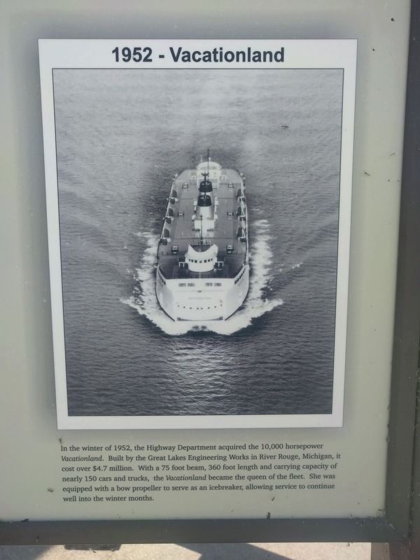
8. 1952 - Vactionland (lower right image)
In the winter of 1952, the Highway Department acquired the 10,000 horsepower Vacationland. Built by the Great Lakes Engineering Works in River Rouge, Michigan, it cost over $4.7 million. With a 75 foot beam, 360 foot length and carrying capacity of nearly 150 cars and trucks, the Vacationland became the queen of the fleeet. She was equipped with a bow propeller to serve as an icebreaker, allowing service to continue well into the winter months.
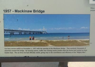
9. 1957 - Mackinaw Bridge (lower left image)
Car ferry service ended on November 1, 1957 with the opening of the Mackinaw Bridge. That weekend, thousands of motorists crossed the bridge. By hunting season, traffic was running nearly double what the ferries had carried on their busiest days. The car ferry had officially ended, giving way to the convenience and efficiency of the "Mighty Mac".
Credits. This page was last revised on August 21, 2019. It was originally submitted on August 21, 2019, by Joel Seewald of Madison Heights, Michigan. This page has been viewed 249 times since then and 14 times this year. Photos: 1, 2, 3, 4, 5, 6, 7, 8, 9, 10. submitted on August 21, 2019, by Joel Seewald of Madison Heights, Michigan.
