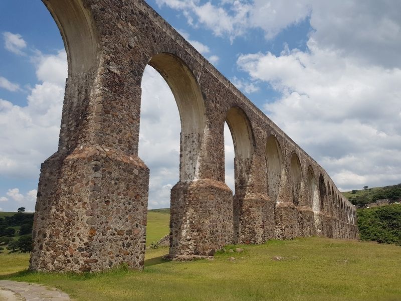
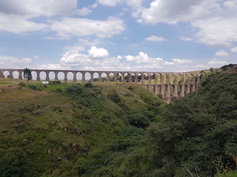
Near San Miguel Cañadas in Tepotzotlán, Mexico State, Mexico — The Central Highlands (North America)
The Aqueduct of Xalpa
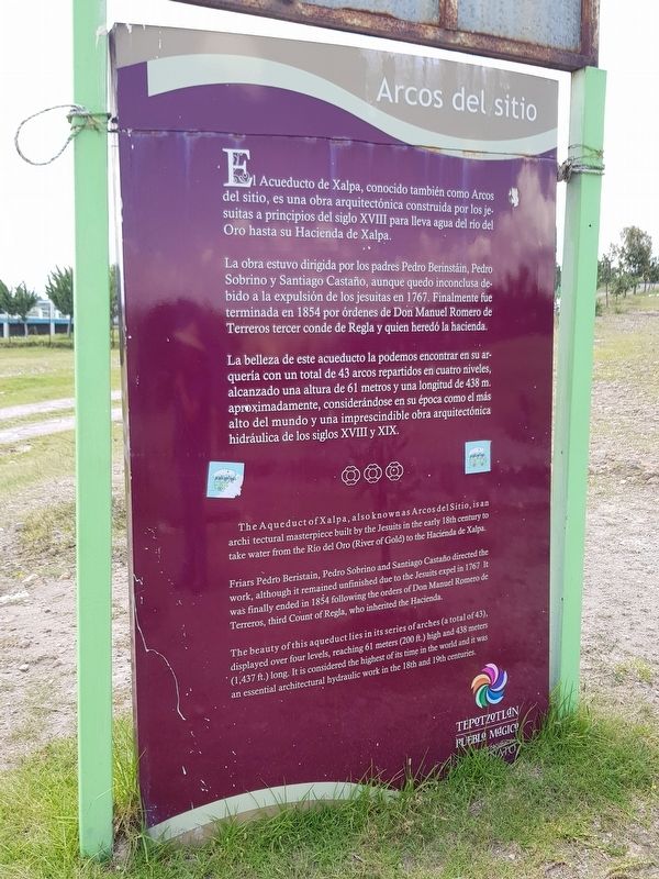
El Acueducto de Xalpa, conocido también como Arcos del sitio, es una obra arquitectónica construida por los jesuitas a principios del siglo XVIII para lleva agua del río del Oro hasta su Hacienda de Xalpa.
La obra estuvo dirigida por los padres Pedro Berinstáin, Pedro Sobrino y Santiago Castaño, aunque quedo inconclusa debido a la expulsión de los jesuitas en 1767. Finalmente fue terminada en 1854 por órdenes de Don Manuel Romero de Terreros tercer conde de Regla y quien heredó la hacienda.
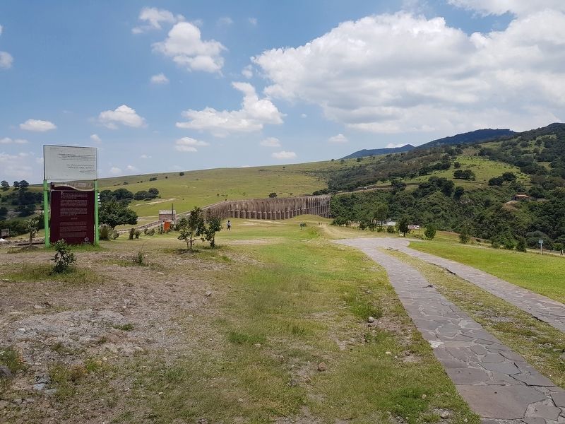
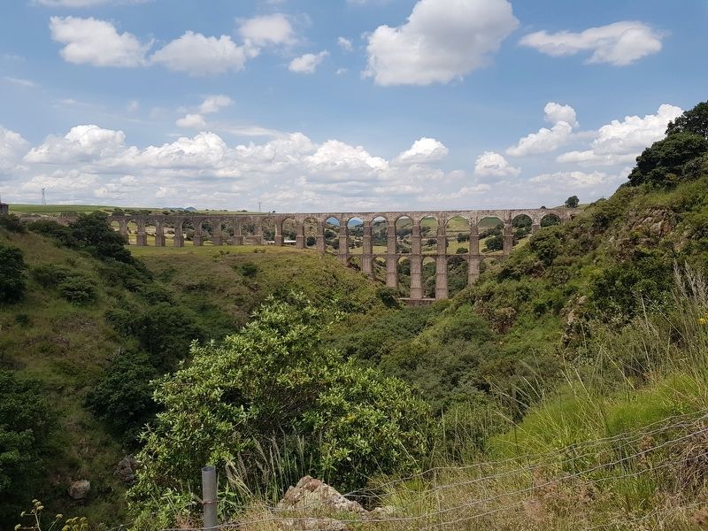
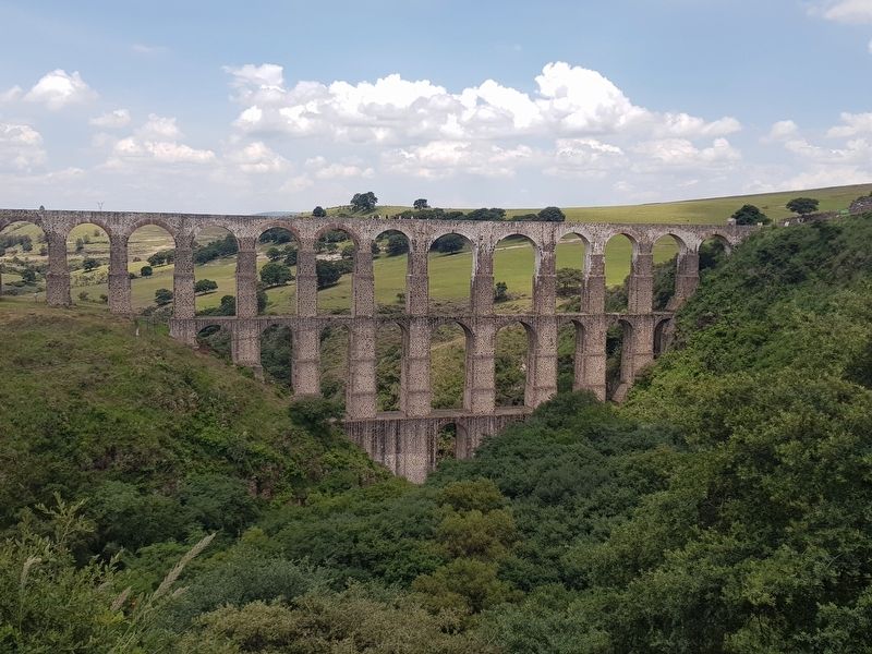
La belleza de este acueducto la podemos encontrar en su arquería con un total de 43 arcos repartidos en cuatro niveles, alcanzado una altura de 61 metros y una longitud de 438 m aproximadamente, considerándose en su época como el más alto del mundo y una imprescindible obra arquitectónica hidráulica de los siglos XVIII y XIX.
The Aqueduct of Xalpa
The Aqueduct of Xalpa, also known as Arcos del Sitio (Arches of the Site), is an architectural masterpiece built by the Jesuits in the early 18th century to take water from the Río del Oro (River of Gold) to the Hacienda de Xalpa.
Friars Pedro Beristain, Pedro Sobrino and Santiago Castaño directed the work, although it remained unfinished due to the Jesuits expel in 1767. It was finally ended in 1854 following the order of Don Manuel Romero de Terreros, third Count of Regla, who inherited the Hacienda.
The beauty of this aqueduct lies in its series of arches (a total of 43), displayed over four levels, reaching 61 meters (200 ft.) high and 438 meters (1,437 ft.) long. It is considered the highest of its time in the world and it was an essential architectural hydraulic work in the 18th and 19th centuries.
Topics. This historical marker is listed in these topic lists: Colonial Era • Man-Made Features. A significant historical year for this entry is 1767.
Location. 19° 45.975′ N, 99° 20.59′ W. Marker is near San Miguel Cañadas, Estado de Mexico (Mexico State), in Tepotzotlán. Marker can be reached from Unnamed road, 0 kilometers east of Camino a San José Piedra Gorda, on the left when traveling east. Touch for map. Marker is in this post office area: San Miguel Cañadas MEX 54645, Mexico. Touch for directions.
Other nearby markers. At least 8 other markers are within 14 kilometers of this marker, measured as the crow flies. Sierra of Tepotzotlán (about 150 meters away, measured in a direct line); Church of the Virgen de la Peña de Francia (approx. 13.2 kilometers away); Constituent Congress of 1856-1857 (approx. 13.3 kilometers away); Old City Hall (approx. 13.3 kilometers away); Bicentennial Tree (approx. 13.4 kilometers away); Hidalgo Plaza and Los Portales (approx. 13.4 kilometers away); The Cloister of San Francisco Javier (approx. 13.9 kilometers away); Old Jesuit School of San Martín (approx. 13.9 kilometers away).
Credits. This page was last revised on August 24, 2019. It was originally submitted on August 24, 2019, by J. Makali Bruton of Accra, Ghana. This page has been viewed 290 times since then and 39 times this year. Photos: 1, 2, 3, 4, 5, 6. submitted on August 24, 2019, by J. Makali Bruton of Accra, Ghana.
