Church Hill in Queen Anne's County, Maryland — The American Northeast (Mid-Atlantic)
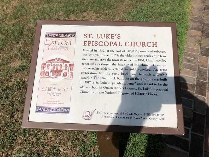
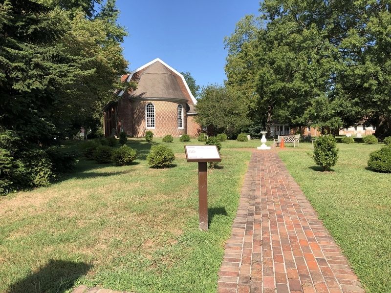
St. Luke's Episcopal Church
Erected by Historical Society of Pomona Valley.
Topics. This historical marker is listed in these topic lists: Architecture • Churches & Religion • Colonial Era • War, US Civil. A significant historical year for this entry is 1732.
Location. 39° 8.529′ N, 75° 59.129′ W. Marker is in Church Hill, Maryland, in Queen Anne's County. Marker is at the intersection of Main Street (Route 19) and Walnut Street (Maryland Route 19), on the right when traveling south on Main Street. Touch for map. Marker is at or near this postal address: 403 Church Lane, Church Hill MD 21623, United States of America. Touch for directions.
Other nearby markers. At least 8 other markers are within 6 miles of this marker, measured as the crow flies. St. Luke’s Episcopal Parish (here, next to this marker); Church Hill Theatre (within shouting distance of this marker); We Resign! (about 500 feet away, measured in a direct line); War Along the Chesapeake (approx. 4.4 miles away); Dudley's Chapel (approx. 5.7 miles away); a different marker also named Dudley's Chapel (approx. 5.7 miles away); Byway Destinations (approx. 6.1 miles away); a different marker also named Byway Destinations (approx. 6.1 miles away). Touch for a list and map of all markers in Church Hill.
Credits. This page was last revised on August 25, 2019. It was originally submitted on August 25, 2019, by Devry Becker Jones of Washington, District of Columbia. This page has been viewed 140 times since then and 12 times this year. Photos: 1, 2. submitted on August 25, 2019, by Devry Becker Jones of Washington, District of Columbia.

