Near Arroyo Seco in Victoria, Guanajuato, Mexico — The Central Highlands (North America)
The Memory of the Landscape
Photographed by J. Makali Bruton, August 4, 2019
1. The Memory of the Landscape Marker

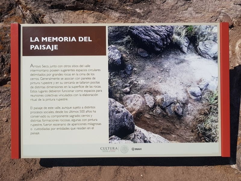
Arroyo Seco, junto con otros sitios del valle intermontano poseen sugerentes espacios circulares delimitados por grandes rocas en la cima de los cerros. Generalmente se asocian con paneles de pintura rupestre y en su cercania se tallaron pocitas de distintas dimensiones en la superficie de las rocas. Estos lugares debieron funcionar como espacios para reuniones colectivas vinculados con la elaboración ritual de la pintura rupestre.
El paisaje de este valle, aunque sujeto a distintos procesos sociales, desde los últimos 500 años ha conservado su componente sagrado; cerros y distintas formaciones rocosas, algunas con pintura rupestre, fueron escenario de apariciones milagrosas o custodiadas por entidades que residen en el paisaje.
The Memory of the Landscape
Arroyo Seco, along with other sites in the intermountain valley have suggestive circular spaces delimited by large rocks on the top of the hills. Generally they are associated with panels of rock painting. Nearby there are usually carved indentations of different dimensions on the surface of the rocks. These places probably
this page online
The landscape of this valley, although subject to different social processes, has kept its sacred component over the last 500 years; hills and different rock formations, some with cave painting, were believed to be the scene of miraculous apparitions or to be guarded by entities that reside in the landscape.
Erected by Instituto Nacional de Antropología e Historia (INAH).
Topics. This historical marker is listed in these topic lists: Arts, Letters, Music • Indigenous Peoples and Communities • Man-Made Features.
Location. 21° 11.461′ N, 100° 12.186′ W. Marker is near Arroyo Seco, Guanajuato, in Victoria. It can be reached from Calle Nueva a Victoria just north of Calle Principal de Arroyo Seco, on the right when traveling north. The marker is along the walking tour at the Arroyo Seco Archaeological Site. Touch for map. Marker is in this post office area: Arroyo Seco GTO 37920, Mexico. Touch for directions.

Regionally, this marker is in Central Mexico and in
Photographed by J. Makali Bruton, August 4, 2019
2. The Memory of the Landscape Marker
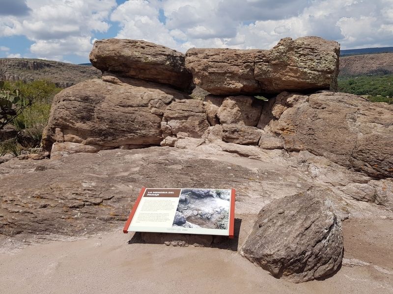
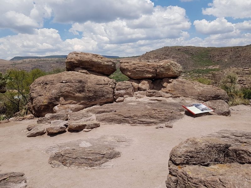
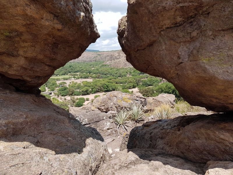
Note the rock formation mentioned in the marker text. The sunrise of the summer solstice can be viewed through the space made by the rocks.
Other nearby markers. At least 8 other markers are within walking distance of this marker: A Long-Term Painted History (a few steps from this marker); The Social Function of Rock Art (within shouting distance of this marker); The Guardians of the Valley (within shouting distance of this marker); Rock Art in the 16th Century (within shouting distance of this marker); The Arroyo Seco Archaeological Site (about 180 meters away, measured in a direct line); The Imagination of Rock Art (about 180 meters away); A Fragile Testimony (approx. 0.2 kilometers away); The human figure (approx. 0.3 kilometers away). Touch for a list and map of all markers in Arroyo Seco.
Photographed by J. Makali Bruton, August 4, 2019
3. The Memory of the Landscape Marker
Photographed by J. Makali Bruton, August 4, 2019
4. Detail of the space formed by the rock formation near the marker
Credits. This page was last revised on March 15, 2020. It was originally submitted on August 25, 2019, by J. Makali Bruton of Washington, District of Columbia. This page has been viewed 173 times since then and 20 times this year. Photos: 1, 2, 3, 4. submitted on August 25, 2019, by J. Makali Bruton of Washington, District of Columbia.
