City Center in Chattanooga in Hamilton County, Tennessee — The American South (East South Central)
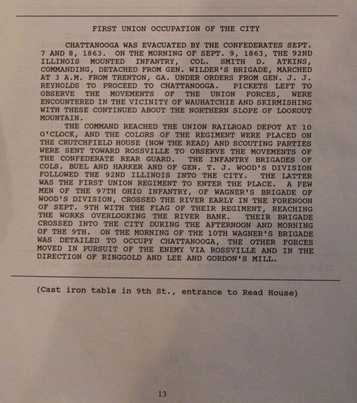
First Union Occupation of the City
Chattanooga was evacuated by the Confederates September 7 and 8, 1863. On the morning of September 9, 1863, the 92nd Illinois Mounted Infantry, Colonel Smith D. Atkins, commanding, detached from General Wilder's Brigade, marched at 3 a.m. from Trenton, Georgia under orders from General J.J. Reynolds to proceed to Chattanooga. Picketts left to observe the movements of the Union forces, were encountered in the vicinity of Wauhatchie and skirmishing with these continued about the northern slope of Lookout Mountain.
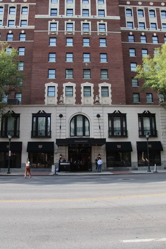
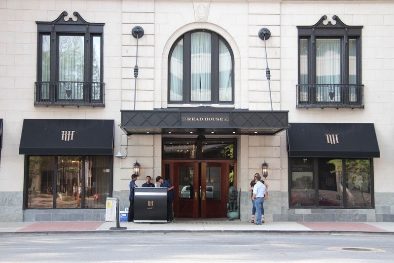
The command reached the Union railroad depot at 10 o'clock, and the colors of the Regiment were placed on the Crutchfield House (now the Read) and scouting parties were sent toward Rossville to observe the movements of the Confederate rear guard. The infantry brigades of Colonel Buell and Harker and of General T.J. Wood's Division followed the 92nd Illinois into the city. The latter was the first Union regiment to enter the place. A few men of the 97th Ohio Infantry, of Wagner's Brigade of Wood's Division, crossed the river early in the forenoon of September 9th with the flag of their Regiment, reaching the works overlooking the river bank. Their Brigade crossed into the city during the afternoon and morning of the 9th. On the morning of the 10th Wagner's Brigade was detailed to occupy Chattanooga, the other forces moved in pursuit of the enemy via Rossville and in the direction of Ringgold and Lee and Gordon's Mill.
Erected 1890 by the Chickamauga and Chattanooga National Military Park Commission. (Marker Number MT-13.)
Topics. This historical marker is listed in this topic list: War, US Civil. A significant historical date for this entry is September 7, 1863.
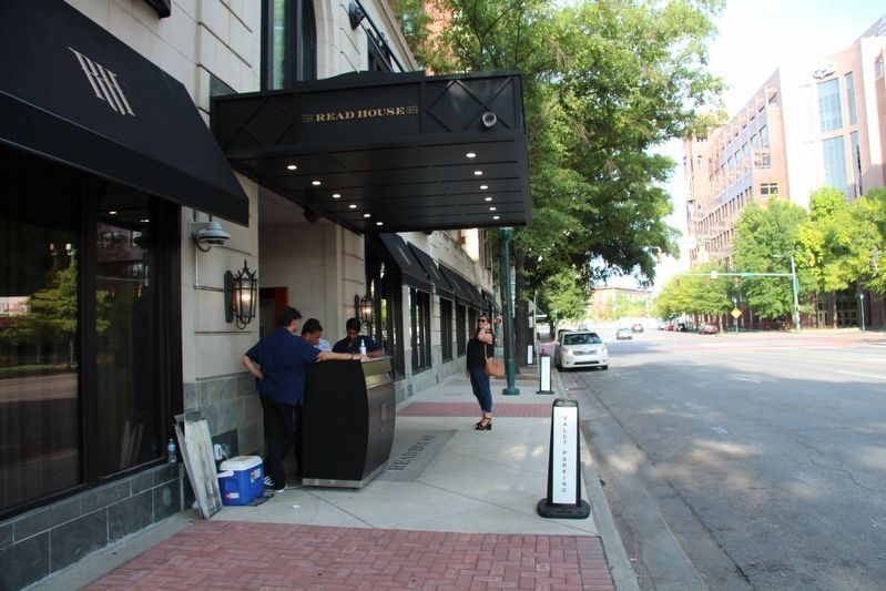
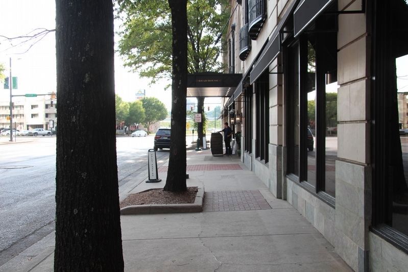
Location. Marker is missing. It was located near 35° 2.754′ N, 85° 18.667′ W. Marker was in Chattanooga, Tennessee, in Hamilton County. It was in City Center. Marker was on West Martin Luther King Boulevard near Broad Street. Touch for map. Marker was at or near this postal address: 107 West Martin Luther King Boulevard, Chattanooga TN 37402, United States of America. Touch for directions.
Other nearby markers. At least 8 other markers are within walking distance of this location. The Union Depot (within shouting distance of this marker); Site of Crutchfield House (within shouting distance of this marker); Crutchfield House (within shouting distance of this marker); Military History of Chattanooga (about 400 feet away, measured in a direct line); The Chattanooga Brush Electric Light Company (approx. 0.2 miles away); William "Uncle Bill" Lewis (approx. 0.2 miles away); Saint Paul's Episcopal Church (approx. 0.2 miles away); William (Uncle Bill) Lewis (approx. 0.2 miles away). Touch for a list and map of all markers in Chattanooga.
More about this marker. According to the description information provided by the National Park Service, the marker is a, "Cast iron tablet in 9th Street, entrance to Read House."
It is important to note that while in the 1890s the street that was on the south side of the Read House was indeed Chattanooga's 9th Street, that is not the case today. At some point in time, the name of 9th Street was changed to Martin Luther King Boulevard.
Credits. This page was last revised on February 7, 2023. It was originally submitted on August 29, 2019, by Dale K. Benington of Toledo, Ohio. This page has been viewed 165 times since then and 16 times this year. Photos: 1, 2, 3, 4, 5, 6. submitted on August 29, 2019, by Dale K. Benington of Toledo, Ohio.

