Jim Thorpe in Carbon County, Pennsylvania — The American Northeast (Mid-Atlantic)
The Mansion House
1825-1929
Photographed by Cosmos Mariner, August 25, 2019
1. The Mansion House Marker
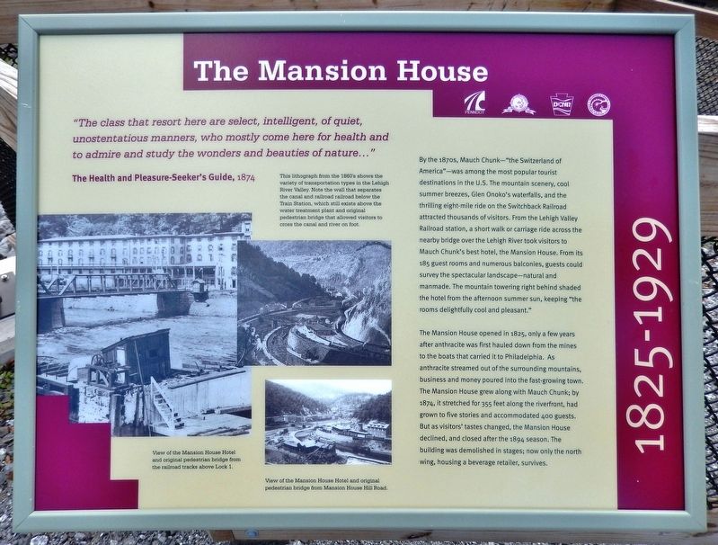
"The class that resort here are select, intelligent, of quiet, unostentatious manners, who mostly come here for health and to admire and study the wonders and beauties of nature..."
The Health and Pleasure-Seeker's Guide, 1874
By the 1870s, Mauch Chunk — "the Switzerland of America" — was among the most popular tourist destinations in the U.S. The mountain scenery, cool summer breezes, Glen Onoko's waterfalls, and the thrilling eight-mile ride on the Switchback Railroad attracted thousands of visitors. From the Lehigh Valley Railroad station, a short walk or carriage ride across the nearby bridge over the Lehigh River took visitors to Mauch Chunk's best hotel, the Mansion House. From its 185 guest rooms and numerous balconies, guests could survey the spectacular landscape — natural and manmade. The mountain towering right behind shaded the hotel from the afternoon summer sun, keeping "the rooms delightfully cool and pleasant."
The Mansion House opened in 1825, only a few years after anthracite was first hauled down from the mines to the boats that carried it to Philadelphia. As anthracite streamed out of the surrounding
this page online
Erected 2019 by Delaware & Lehigh National Heritage Corridor, Pennsylvania Department of Transportation, Pennsylvania State Parks, and Carbon County.
Topics. This historical marker is listed in these topic lists: Industry & Commerce • Man-Made Features • Parks & Recreational Areas. A significant historical year for this entry is 1825.
Location. 40° 51.714′ N, 75° 44.276′ W. Marker is in Jim Thorpe, Pennsylvania, in Carbon County. It can be reached from Susquehanna Street (U.S. 209) 0.1 miles south of Race Street, on the left when traveling south. Marker is mounted on the trail railing near the west end of the pedestrian bridge that carries the Delaware & Lehigh Trail across the Lehigh River from the Jim Thorpe/Mauch
2. Marker detail: 1860's Lithograph
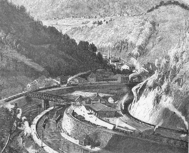
This lithograph from the 1860's shows the variety of transportation types in the Lehigh River Valley. Note the wall that separates the canal and railroad below the Train Station, which still exists above the water treatment plant and original pedestrian bridge that allowed visitors to cross the canal and river on foot.

Regionally, this marker is in Anthracite Coal Region and in the Pocono Mountains. It is also in the American Northeast, in the Mid-Atlantic, in Appalachia, and specifically in Northern Appalachia. Globally, it is in North America, the Western Hemisphere, the Western World, and the Anglosphere. Historically, it finds itself in what was once the Haudenosaunee (Iroquois) Confederacy and also one of the original Thirteen Colonies.
Other nearby markers. At least 8 other markers are within walking distance of this marker: Coal Transport in Mauch Chunk (within shouting distance of this marker); Dams Made the Lehigh Canal (within shouting distance of this marker); Mauch Chunk Railroad Station (about 400 feet away, measured in a direct line); Anthracite (about 500 feet away); From Mountain to Market (about 500 feet away); Packer Mansion (about 500 feet away); Stone Row (about 600 feet away); Race to the Mill (about 600 feet away). Touch for a list and map of
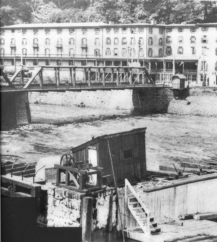
3. Marker detail: Mansion House Hotel and original pedestrian bridge from railroad tracks above Lock 1
Additional commentary.
1. Improper Recognition
The remnant is presently Highland Beverage on Susquehanna Street.
— Submitted January 8, 2022.
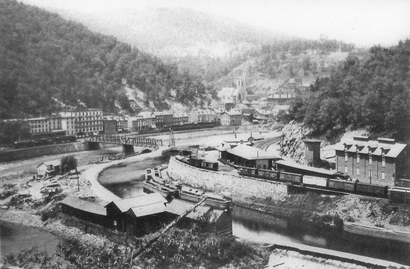
4. Marker detail: Mansion House Hotel and original pedestrian bridge from Mansion House Hill Road
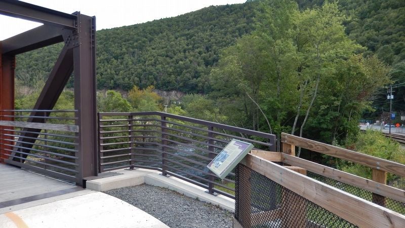
Photographed by Cosmos Mariner, August 25, 2019
5. The Mansion House Marker
(wide view • pedestrian bridge across Lehigh River on left)
(wide view • pedestrian bridge across Lehigh River on left)
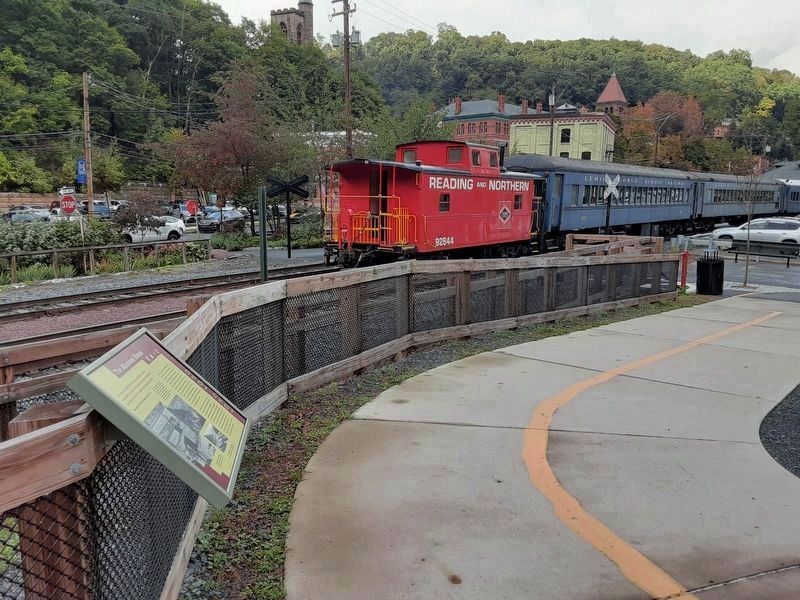
Photographed by William Fischer, Jr., October 4, 2021
6. The Mansion House Marker
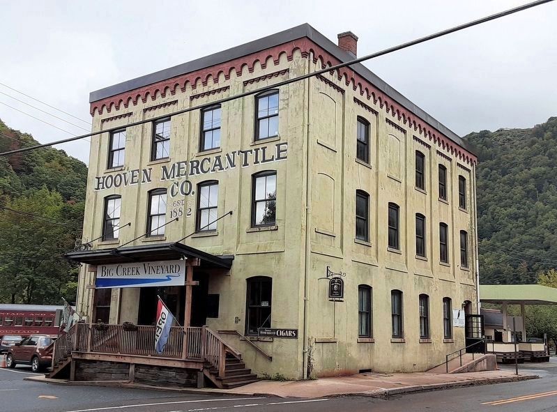
Photographed by William Fischer, Jr., October 4, 2021
7. The Hooven Building
Credits. This page was last revised on March 21, 2022. It was originally submitted on August 29, 2019, by Cosmos Mariner of Cape Canaveral, Florida. This page has been viewed 1,795 times since then and 197 times this year. Photos: 1, 2, 3, 4, 5. submitted on August 30, 2019, by Cosmos Mariner of Cape Canaveral, Florida. 6, 7. submitted on November 23, 2021, by William Fischer, Jr. of Reynoldsburg, Ohio.
