St. Mary's City in St. Mary's County, Maryland — The American Northeast (Mid-Atlantic)
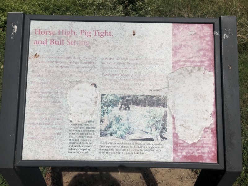
Horse High, Pig Tight, and Bull Strong

Photographed By Devry Becker Jones (CC0), August 30, 2019
1. Horse High, Pig Tight, and Bull Strong Marker
Paling fences (picket fences) [unreadable] protected yards and vegetable gardens from animal intruders. Posts and pales were partly below ground and needed to be partly below ground and needed to be [unreadable].
Palisade fences were made of whole or split logs placed upright in a trench. Often though of as fortification, they were also part of the domestic landscape.
Stake and rider fences (zig-zag) could be [unreadable] in place or moved. This style was [unreadable] pastures, fields, and orchards.
Waule fencing (woven) provided tight [unreadable] keeping out even small animals. Although [unreadable] intensive, [unreadable] otherwise unusable materials.
[Captions:]
The [unreadable] Town Center area, there is archaeological evidence for multiple generations of fences dating back to the 17th century. Darkened soil reveals the location of postholes and trenches where palisade and paling fences once stood.
Not all animals were kept out by fences. In 1678, a Charles County planter was charged with shooting a neighbor's cow that regularly broke into his orchard by using her horns to lift the rails from his poorly built fence.
Erected by Historic St. Mary's City.
Topics. This historical marker is listed in these topic lists: Agriculture • Colonial Era. A significant historical year for this entry is 1678.
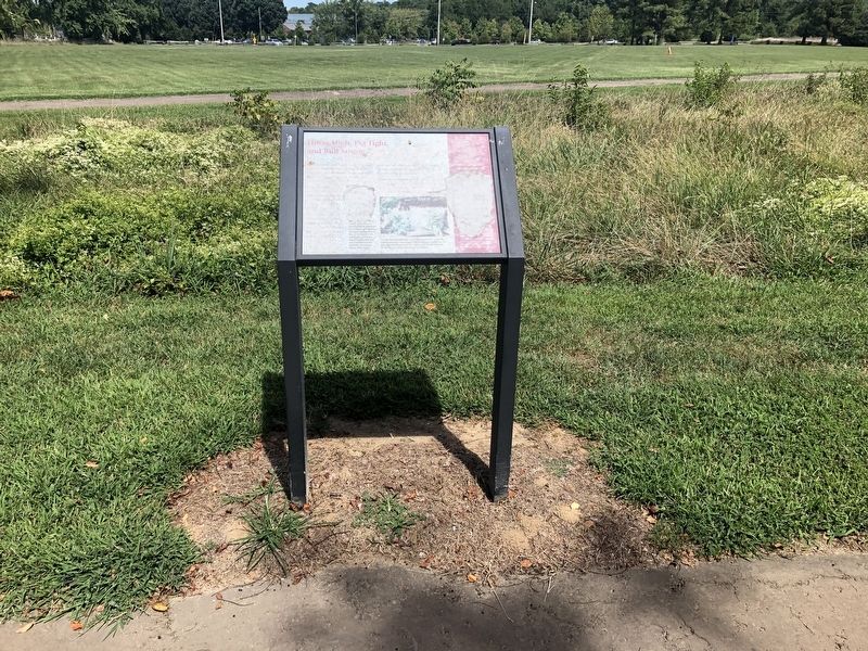
Location. 38° 11.045′ N, 76° 25.929′ W. Marker has been reported unreadable. Marker is in St. Mary's City, Maryland, in St. Mary's County. Marker is on Middle Street Path just east of Aldermanbury Street Footpath, on the right when traveling east. Touch for map. Marker is in this post office area: Saint Marys City MD 20686, United States of America. Touch for directions.
Other nearby markers. At least 8 other markers are within walking distance of this location. Early Signs of Industry (a few steps from this marker); "…once the Metropolis" (within shouting distance of this marker); Framing the Past (within shouting distance of this marker); A Time of Troubles (within shouting distance of this marker); Witness to History (about 300 feet away, measured in a direct line); From Slavery to Freedom (about 300 feet away); Fear of War, People of Peace (about 400 feet away); Reclaiming the Lost City (about 400 feet away). Touch for a list and map of all markers in St. Mary's City.

Photographed By Devry Becker Jones (CC0), August 30, 2019
2. Horse High, Pig Tight, and Bull Strong Marker
Credits. This page was last revised on September 1, 2019. It was originally submitted on September 1, 2019, by Devry Becker Jones of Washington, District of Columbia. This page has been viewed 293 times since then and 20 times this year. Photos: 1, 2. submitted on September 1, 2019, by Devry Becker Jones of Washington, District of Columbia.