Downtown in Syracuse in Onondaga County, New York — The American Northeast (Mid-Atlantic)
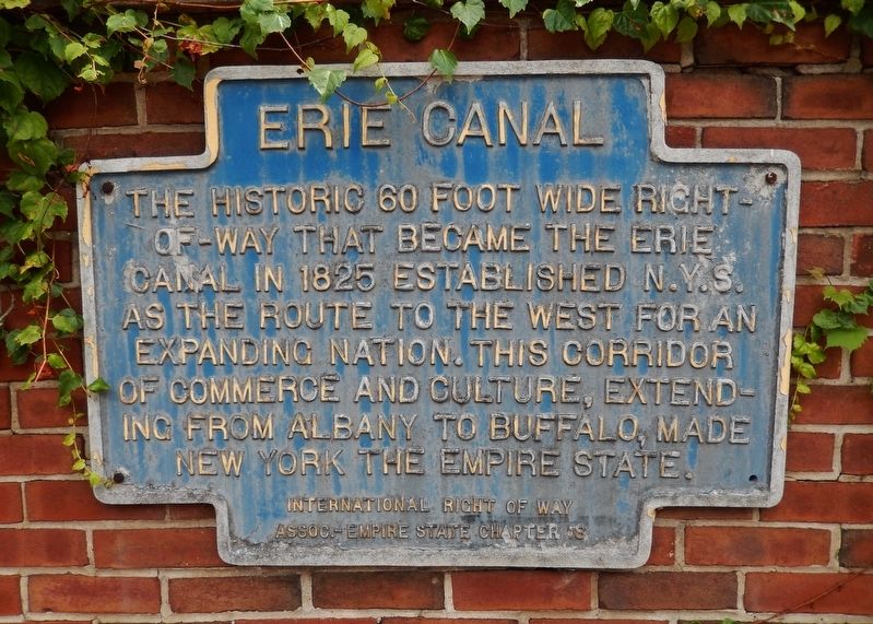
Erie Canal
Erected by International Right of Way Association • Empire State Chapter 18.
Topics. This historical marker is listed in these topic lists: Industry & Commerce • Man-Made Features • Waterways & Vessels. A significant historical year for this entry is 1825.
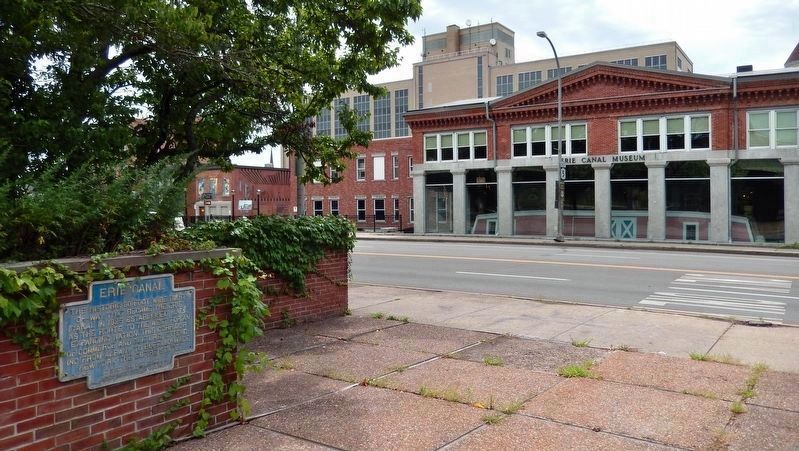
Location. 43° 3.064′ N, 76° 8.934′ W. Marker is in Syracuse, New York, in Onondaga County. It is in Downtown. Marker is on Erie Boulevard East (New York State Route 5) east of Montgomery Street, on the right when traveling west. Marker is located in the triangular plaza just north of the Erie Canal Museum. Touch for map. Marker is at or near this postal address: 318 Erie Boulevard East, Syracuse NY 13202, United States of America. Touch for directions.
Other nearby markers. At least 8 other markers are within walking distance of this marker. Erie Boulevard Was Once the Erie Canal (here, next to this marker); How Much Does a Canal Boat Weigh? (a few steps from this marker); Why a Weighlock? (within shouting distance of this marker); Gardening Along the Erie Canal (within shouting distance of this marker); Gateway to the World (within shouting distance of this marker); Locks (within shouting distance of this marker); Poster Project (within shouting distance of this marker); Double Enders (within shouting distance of this marker). Touch for a list and map of all markers in Syracuse.
Related markers. Click here for a list of markers that are related to this marker. Erie Canal Weighlock
Also see . . . Erie Canal (Wikipedia). The Erie Canal originally ran 363 miles from where Albany meets the Hudson River to where Buffalo meets Lake Erie. It was built to create a navigable water route from New York City and the Atlantic Ocean to the Great Lakes. When completed in 1825, it was the second longest canal in the world and greatly affected the development and economy of New York, New York City, and the United States. (Submitted on September 2, 2019, by Cosmos Mariner of Cape Canaveral, Florida.)
Credits. This page was last revised on February 16, 2023. It was originally submitted on September 2, 2019, by Cosmos Mariner of Cape Canaveral, Florida. This page has been viewed 199 times since then and 14 times this year. Photos: 1, 2. submitted on September 2, 2019, by Cosmos Mariner of Cape Canaveral, Florida.

