Downtown in Syracuse in Onondaga County, New York — The American Northeast (Mid-Atlantic)
Erie Boulevard Was Once the Erie Canal
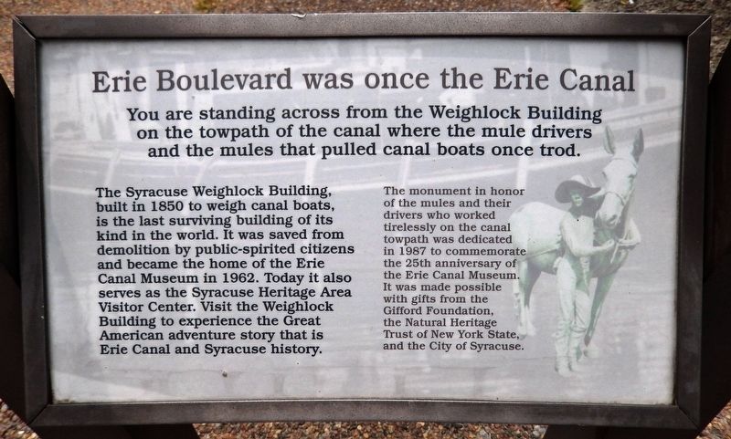
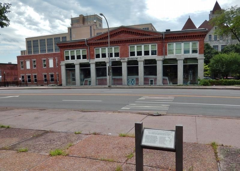
You are standing across from the Weighlock Building on the towpath of the canal where the mule drivers and the mules that pulled canal boats once trod.
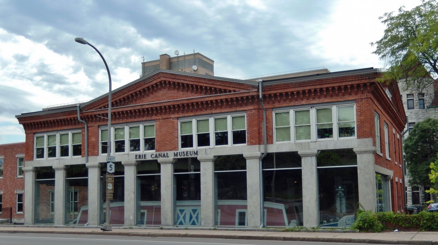
The Syracuse Weighlock Building, built in 1850 to weigh canal boats, is the last surviving building of its kind in the world. It was saved from demolition by public-spirited citizens and became the home of the Erie Canal Museum in 1962. Today it also serves as the Syracuse Heritage Area Visitor Center. Visit the Weighlock Building to experience the Great American adventure story that is Erie Canal and Syracuse history.
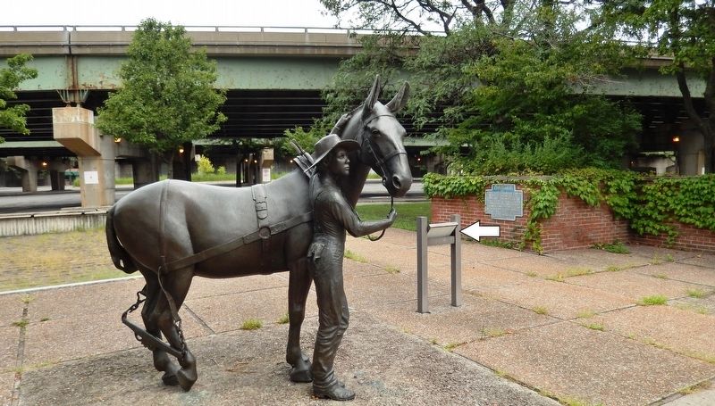
The monument in honor of the mules and their drivers who worked tirelessly on the canal towpath was dedicated in 1987 to commemorate the 25th anniversary of the Erie Canal Museum. It was made possible with gifts from the Gifford Foundation, the Natural Heritage Trust of New York State, and the City of Syracuse.
Topics. This historical marker is listed in these topic lists: Industry & Commerce • Man-Made Features • Waterways & Vessels. A significant historical year for this entry is 1850.
Location. 43° 3.06′ N, 76° 8.937′ W. Marker is in Syracuse, New York, in Onondaga County. It is in Downtown. Marker is on Erie Boulevard East (New York State Route 5) east of Montgomery Street, on the right when traveling west. Marker is located in the triangular plaza just north of the Erie Canal Museum. Touch for map. Marker is at or near this postal address: 318 Erie Boulevard East, Syracuse NY 13202, United States of America. Touch for directions.
Other nearby markers. At least 8 other markers are within walking distance of this marker. How Much Does a Canal Boat Weigh? (here, next to this marker); Erie Canal (here, next to this marker); Why a Weighlock? (within shouting distance of this marker); Gardening Along the Erie Canal (within shouting distance of this marker); Gateway to the World (within shouting distance of this marker); Locks (within shouting distance of this marker); Pitts Park (within shouting distance of this marker); Poster Project (within shouting distance of this marker). Touch for a list and map of all markers in Syracuse.
Related markers. Click here for a list of markers that are related to this marker. Erie Canal Weighlock
Also see . . .
1. 1850 Syracuse Weighlock Building. Erie Canal Museum website entry:
The Weighlock Building was used to weigh canal boats as they passed, charging them according to the weight of their cargo. After a boat was drawn into the lock beneath the overhang, the water gates were closed at each end, the water was drained out, and the boat settled onto a massive cradle suspended from the balance beam overhead. The registered weight of the boat was subtracted from the measured weight to determine the weight of the cargo. (Submitted on September 2, 2019, by Cosmos Mariner of Cape Canaveral, Florida.)
2. Erie Canal Towpath Logistics. Wikipedia entry:
The canal had one towpath, generally on the north side. When canal boats met, the boat with the right of way remained on the towpath side of the canal. The other boat steered toward the berm (or heelpath) side of the canal. The driver of the privileged boat kept his towpath team by the canalside edge of the towpath, while the driver of the other boat moved to the outside of the towpath and stopped his team. His towline would be unhitched from the horses, go slack, fall into the water and sink to the bottom, while his boat coasted with its remaining momentum. The privileged boat's team would step over the other boat's towline, with its horses pulling the boat over the sunken towline without stopping. Once clear, the other boat's team would continue on its way. (Submitted on September 2, 2019, by Cosmos Mariner of Cape Canaveral, Florida.)
Credits. This page was last revised on February 16, 2023. It was originally submitted on September 2, 2019, by Cosmos Mariner of Cape Canaveral, Florida. This page has been viewed 713 times since then and 133 times this year. Photos: 1, 2, 3, 4. submitted on September 2, 2019, by Cosmos Mariner of Cape Canaveral, Florida.


