St. Mary's City in St. Mary's County, Maryland — The American Northeast (Mid-Atlantic)
Taking Sail, Taking Chances
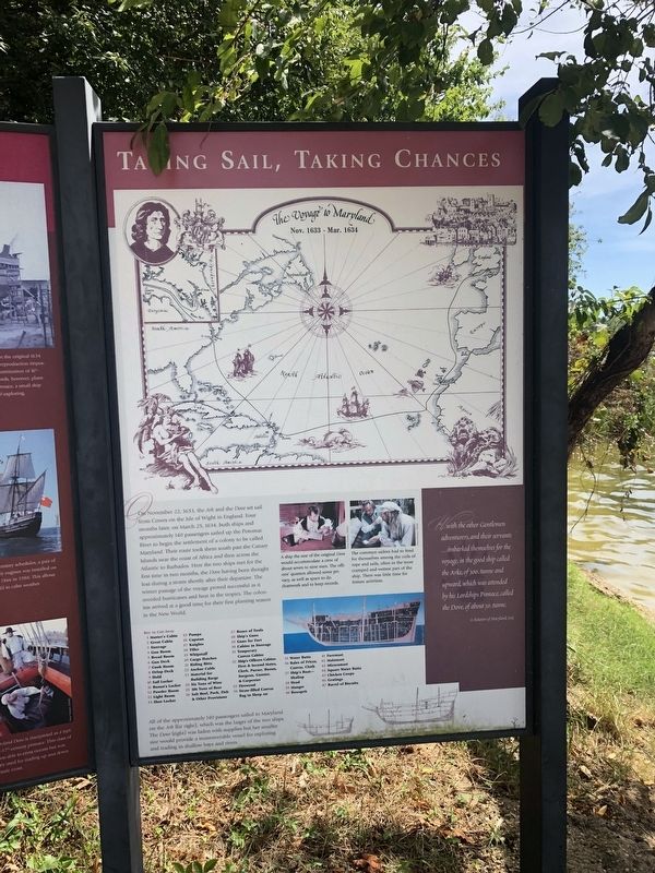
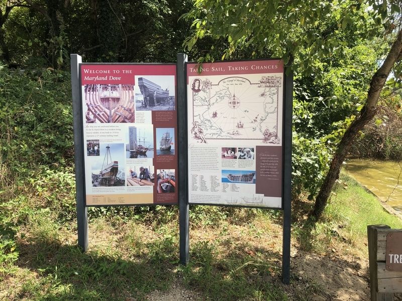
All of the approximately 140 passengers sailed to Maryland on the Ark (far right), which was the larger of the two ships. The Dove (right) was laden with supplies but her smaller size would provide a maneuverable vessel for exploring and trading in shallow bays and rivers.
A ship the size of the original Dove would accommodate a crew of about seven to nine men. The officers' quarters allowed some privacy, as well as space to do chartwork and to keep records.
The common sailors had to fend for themselves among the coils of rope and sails, often in the most cramped and wettest part of the ship. There was little time for leisure activities.
"...with the other Gentlemen adventurers, and their servants...imbarked themselves for the voyage, in the good ship called the Arke, of 300. tunne and upward, which was attended by his Lordships Pinnace, called the Dove, of about 50. tunne."
A Relation of Maryland, 1635
Erected by Historic
this page online
Topics. This historical marker is listed in these topic lists: Colonial Era • Settlements & Settlers • Waterways & Vessels. A significant historical date for this entry is March 25, 1634.
Location. 38° 11.142′ N, 76° 26.091′ W. Marker is in St. Mary's City, Maryland, in St. Mary's County. It can be reached from Old State House Road west of Point Lookout Road (Maryland Route 5), on the left when traveling north. Touch for map. Marker is at or near this postal address: 47414 Old State House Road, Saint Marys City MD 20686, United States of America. Touch for directions.

Regionally, this marker is in Southern Maryland. It is also in the American South, specifically in the Upper South, in the Mid-Atlantic, in the Tidewater, in the Chesapeake Bay Region, and on the Eastern Seaboard. Globally, it is in the North Atlantic Region, North America, the Western Hemisphere, the Western World, and the Anglosphere. Historically, it finds itself in what was once one of the original Thirteen Colonies and also the Antebellum South.
Other nearby markers. At least 8 other markers are within walking distance of this marker:
Credits. This page was last revised on September 4, 2019. It was originally submitted on September 4, 2019, by Devry Becker Jones of Washington, District of Columbia. This page has been viewed 322 times since then and 16 times this year. Photos: 1, 2. submitted on September 4, 2019, by Devry Becker Jones of Washington, District of Columbia.
