Cumberland in Allegany County, Maryland — The American Northeast (Mid-Atlantic)
The Fort Bastions
Fort Cumberland Trail
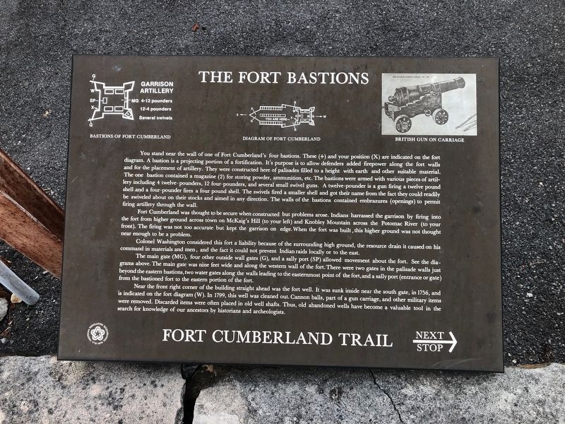
Fort Cumberland was thought to be secure when constructed but problems arose. Indians harrassed the garrison by firing into the fort from higher ground across town on McKaig's
this page online
Colonel Washington considered this fort a liability because of the surrounding high ground, the resource drain it caused on his command in materials and men, and the fact it could not prevent Indian raids locally or to the east.
The main gate (MG), four other outside wall gates (G), and a sally port (SP) allowed movement about the fort. See the diagrams above. The main gate was nine feet wide and along the western wall of the fort. There were two gates in the palisade walls just beyond the eastern bastions, two water gates along the walls leading to the easternmost point of the fort, and a sally port (entrance or gate) from the bastioned fort to the eastern portion of the fort.
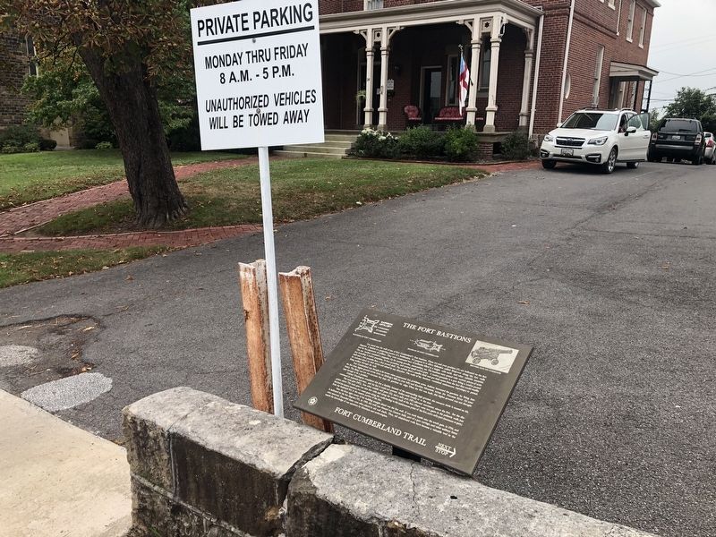
Near the front right cover of the building straight ahead was the fort well. It was sunk inside near the south gate, in 1756, and is indicated on the fort diagram (W). In 1799, this well was cleaned out. Cannon balls, part
Topics. This historical marker is listed in these topic lists: Colonial Era • Forts and Castles • War, French and Indian. A significant historical year for this entry is 1756.
Location. 39° 39.054′ N, 78° 45.962′ W. Marker is in Cumberland, Maryland, in Allegany County. It is on Washington Street just east of Prospect Square, on the right when traveling east. Touch for map. Marker is at or near this postal address: 30 Washington Street, Cumberland MD 21502, United States of America. Touch for directions.

Regionally, this marker is in Western Maryland. It is also in the American Mid-Atlantic, in Appalachia, and specifically in Northern Appalachia. Globally, it is in North America, the Western Hemisphere, the Western World, and the Anglosphere. Historically, it finds itself in what was once one of the original Thirteen Colonies.
Other nearby markers. At least 8 other markers are within walking distance of this marker: Indians and Fort Cumberland (a few steps from this marker); First Church of Christ, Scientist (Hoyt House) (a few steps from this marker); Emmanuel Episcopal Church (within shouting distance of this marker); Gov. Lloyd Lowndes 1845 - 1905 (within shouting distance of this marker); The Fort Proper (within shouting distance of this marker); Famous Personalities at Fort Cumberland (within shouting distance of this marker); Perimeter of the Fort (within shouting distance of this marker); Lynching in America / Lynching in Allegany County (within shouting distance of this marker). Touch for a list and map of all markers in Cumberland.
Credits. This page was last revised on September 7, 2019. It was originally submitted on September 7, 2019, by Devry Becker Jones of Washington, District of Columbia. This page has been viewed 427 times since then and 27 times this year. Photos: 1, 2. submitted on September 7, 2019, by Devry Becker Jones of Washington, District of Columbia.
