Cumberland in Allegany County, Maryland — The American Northeast (Mid-Atlantic)
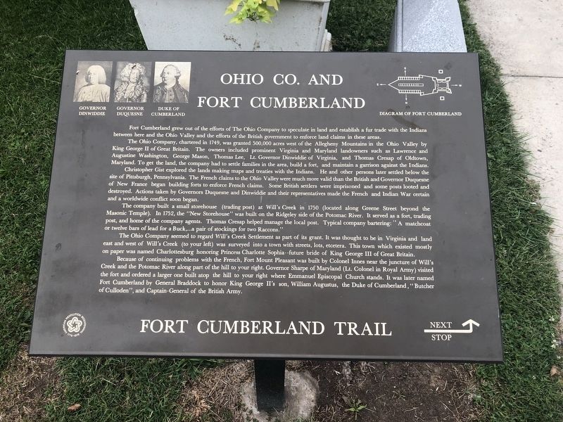
Ohio Co. and Fort Cumberland
Fort Cumberland Trail
The Ohio Company, chartered in 1749, was granted 500,000 acres west of the Allegheny Mountains in the Ohio Valley by King George II of Great Britain. The owners included prominent Virginia and Maryland landowners such as Lawrence and Augustine Washington, George Mason, Thomas Lee, Lt. Governor Dinwiddie of Virginia, and Thomas Cresap of Oldtown, Maryland. To get the land, the company had to settle families in the area, build a fort, and maintain a garrison against the Indians.
Christopher Gist explored the lands making maps and treaties with the Indians. He and other persons later settled below the site of Pittsburgh, Pennsylvania. The French claims to the Ohio Valley were much more valid than the British and Governor Duquesne of New France began building forts to enforce French claims. Some British settlers were imprisoned and some posts looted and destroyed. Actions taken by Governors Duquesne and Dinwiddie and their representatives made the French and Indian War certain and a worldwide conflict soon began.
The company built a small storehouse (trading post) at Will's Creek in 1750 (located along Greene Street beyond the Masonic Temple). In 1752, the "New Storehouse" was built on the Ridgeley side of the Potomac River. It served as a fort, trading post, and home of the company agents. Thomas Cresap helped manage the local post. Typical company bartering: "A matchcoat or twelve bars of lead for a Buck,,...a pair of stockings for two Raccons."
The Ohio Company seemed to regard Will's Creek Settlement as part of its grant. It was thought to be in Virginia and land east and west of Will's Creek (to your left) was surveyed into a town with streets, lots, etcetera. This town which existed mostly on paper was named Charlottesburg honoring Princess Charlotte Sophia--future bride of King George III of Great Britain.
Because of continuing problems with the French, Fort Mount Pleasant was built by Colonel Innes near the juncture with Will's Creek and the Potomac River along the hill to your right. Governor Sharpe of Maryland (Lt. Colonel in Royal Army) visited the fort and ordered a larger one built atop the hill to your right where Emmanuel Episcopal Church stands. It was later named Fort Cumberland by General Braddock to honor King George II's son, William Augustus, the Duke of Cumberland, "Butcher of Culloden", and Captain-General of the British Army.
Topics. This historical marker is listed in these topic lists: Colonial Era
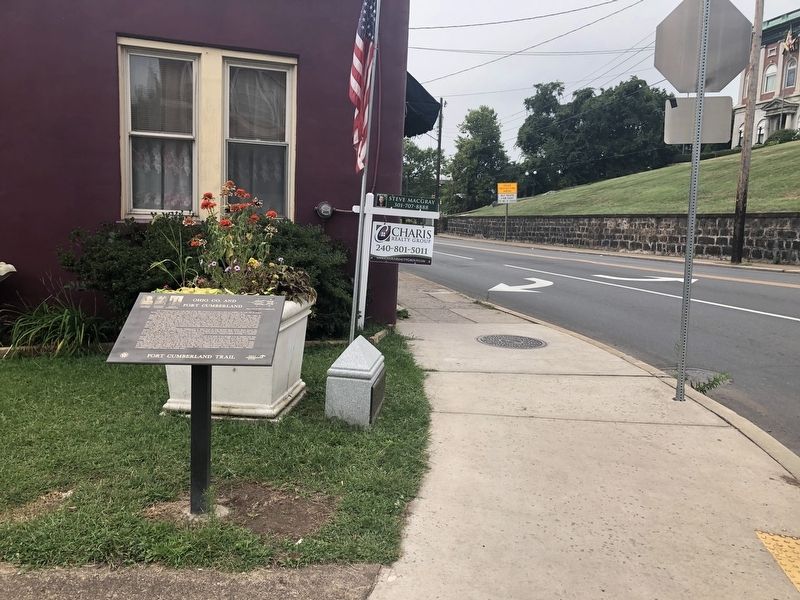
Location. 39° 39.047′ N, 78° 45.867′ W. Marker is in Cumberland, Maryland, in Allegany County. Marker is at the intersection of Greene Street and Baltimore Street, on the right when traveling north on Greene Street. Touch for map. Marker is at or near this postal address: 8 Greene Street, Cumberland MD 21502, United States of America. Touch for directions.
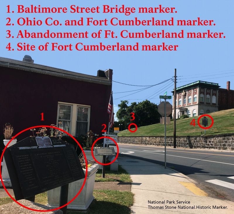
Other nearby markers. At least 8 other markers are within walking distance of this marker. Baltimore Street Bridge (here, next to this marker); This Tablet Marks the Site of Old Fort Cumberland (a few steps from this marker); Site of Fort Cumberland (a few steps from this marker); Algonquian Hotel (within shouting distance of this marker); Light The Steeples (within shouting distance of this marker); Alteration of the Site (within shouting distance of this marker); Abandonment of Ft. Cumberland (within shouting distance of this marker); Trenches and Tunnels / Army Discipline (within shouting distance of this marker). Touch for a list and map of all markers in Cumberland.
Credits. This page was last revised on September 28, 2019. It was originally submitted on September 7, 2019, by Devry Becker Jones of Washington, District of Columbia. This page has been viewed 323 times since then and 30 times this year. Photos: 1, 2. submitted on September 7, 2019, by Devry Becker Jones of Washington, District of Columbia. 3. submitted on September 27, 2019.


