Cumberland in Allegany County, Maryland — The American Northeast (Mid-Atlantic)
Baltimore Street Bridge
City of Cumberland, Maryland
| — | Built 1916 | — |
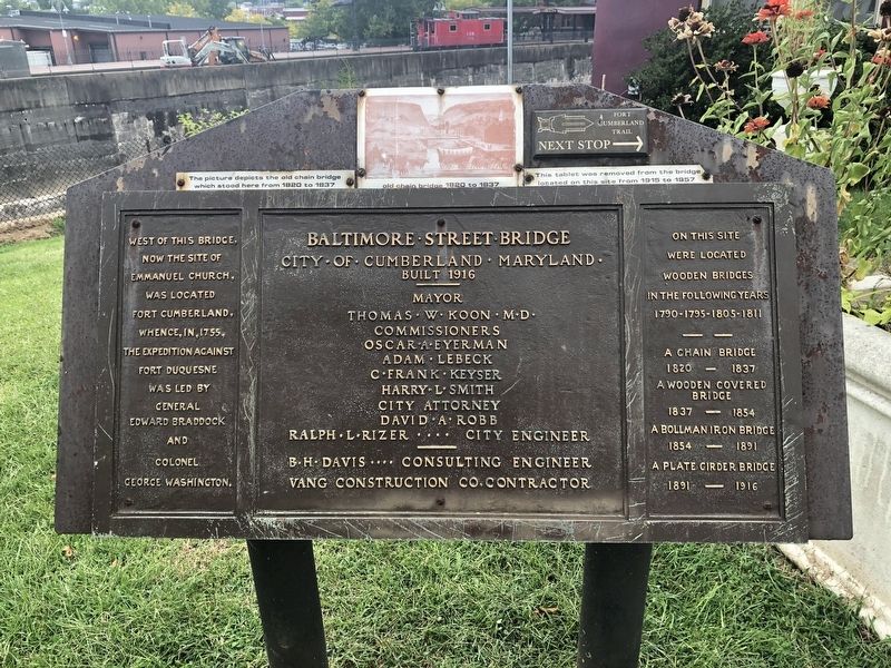
West of this bridge, now the site of Emmanuel Church, was located Fort Cumberland, whence, in, 1755, the expedition against Fort Duquesne was led by General Edward Braddock and Colonel George Washington.
On this site were located wooden bridges in the following years
1820 - 1837
A wooden covered bridge
1837 - 1854
A Bollman iron bridge
1854 - 1891
A plate girder bridge
1891 - 1916
Erected 1916 by City of Cumberland, Maryland.
Topics. This historical marker is listed in these topic lists: Bridges & Viaducts • Colonial Era • Forts and Castles • War, French and Indian. A significant historical year for this entry is 1755.
Location. Marker has been permanently removed. It was located near 39° 39.047′ N, 78° 45.867′ W. Marker was in Cumberland, Maryland, in Allegany County. It was at the intersection of Greene Street and Baltimore Street, on the right when traveling north on Greene Street. Touch for map. Marker was at or near this postal address: 8 Greene Street, Cumberland MD 21502, United States of America.
We have been informed that this marker is no
this page online
Regionally, this marker was in Western Maryland. It was also in the American Mid-Atlantic, in Appalachia, and specifically in Northern Appalachia. Globally, it was in North America, the Western Hemisphere, the Western World, and the Anglosphere. Historically, it found itself in what was once one of the original Thirteen Colonies.

Other nearby markers. At least 8 other markers are within walking distance of this location: This Tablet Marks the Site of Old Fort Cumberland (a few steps from this marker); Site of Fort Cumberland (a few steps from this marker); Algonquian Hotel (within shouting distance of this marker); Light The Steeples (within shouting distance of this marker); Alteration of the Site (within shouting distance of this marker); Abandonment of Ft. Cumberland (within shouting distance of this marker); Trenches and Tunnels / Army Discipline (within shouting distance of this marker); Cumberland (within shouting distance of this marker). Touch for a list and map of all markers in Cumberland.
Another marker is no longer nearby. Ohio Co. and Fort Cumberland
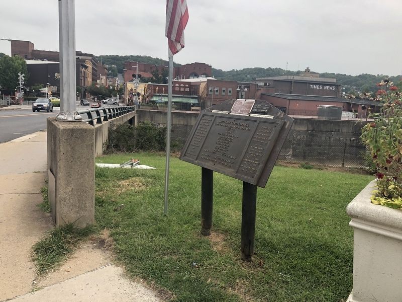
More about this marker. [Caption:]
The picture depicts the old chain bridge which stood here from 1820 to 1837
This tablet was removed from the bridge located on this site from 1915 to 1957
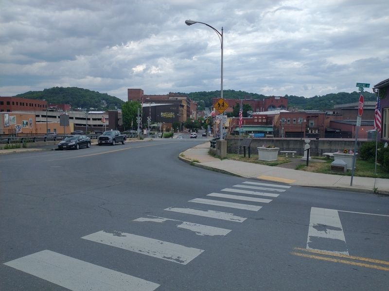
Photographed by Craig Doda, July 23, 2022
3. Cumberland Park
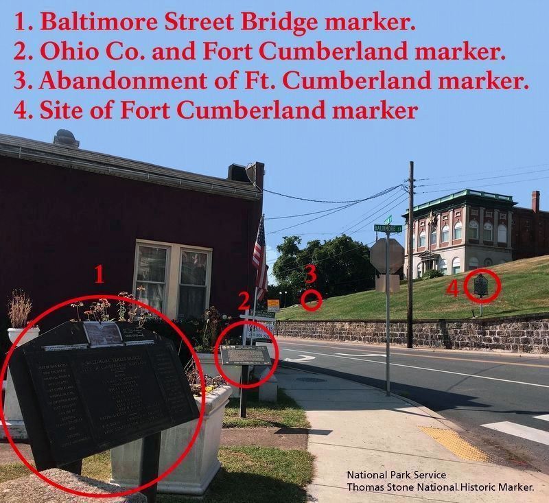
National Park Service, Thomas Stone National Historic Site, September 16, 2019
4. Landscape surrounding marker.
Note #1: Viewing southwest towards markers.
Note #2: The intersection sign for Baltimore and Greene Streets is visible in image.
Note #2: The intersection sign for Baltimore and Greene Streets is visible in image.
Photographed by Craig Doda, July 23, 2022
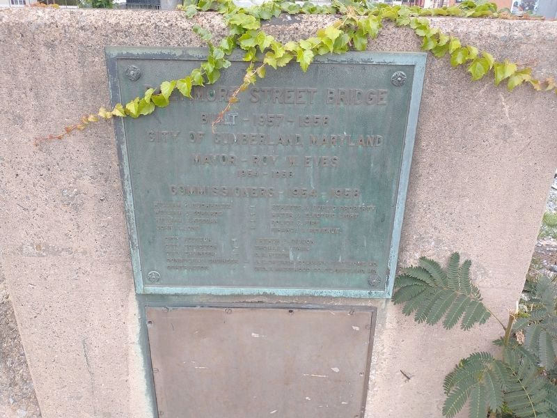
5. Baltimore Street Bridge Marker
Plaque on the Bridge.
Credits. This page was last revised on September 12, 2026. It was originally submitted on September 7, 2019, by Devry Becker Jones of Washington, District of Columbia. This page has been viewed 762 times since then and 40 times this year. Photos: 1, 2. submitted on September 7, 2019, by Devry Becker Jones of Washington, District of Columbia. 3. submitted on August 7, 2022, by Craig Doda of Napoleon, Ohio. 4. submitted on September 27, 2019. 5. submitted on August 7, 2022, by Craig Doda of Napoleon, Ohio.
