Alpine in Brewster County, Texas — The American South (West South Central)
J. C. Bird
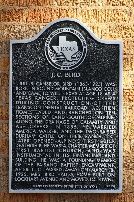
Photographed by Brian Anderson, August 31, 2019
1. J. C. Bird Marker
Erected 2013 by Texas Historical Commission. (Marker Number 17697.)
Topics. This historical marker is listed in these topic lists: Agriculture • Railroads & Streetcars • Religion & Religious Structures • Settlements & Settlers.
Location. 30° 21.655′ N, 103° 39.642′ W. Marker is in Alpine, Texas, in Brewster County. It is at the intersection of East Lockhart Avenue and North 3rd Street, on the right when traveling west on East Lockhart Avenue. Touch for map. Marker is at or near this postal address: 209 East Lockhart Avenue, Alpine TX 79830, United States of America. Touch for directions.

Regionally, this marker is in Texas’ Trans-Pecos & Big Bend Region. It is also in the American Borderlands and in the Southwest. Globally, it is in North America, a Gulf of Mexico state, the Western Hemisphere, the Western World, and the Anglosphere. Historically, it finds itself in what was once New Spain, the Comanchería, the Republic of Texas, and one of the Confederate States of America.
Other nearby markers. At least
this page online
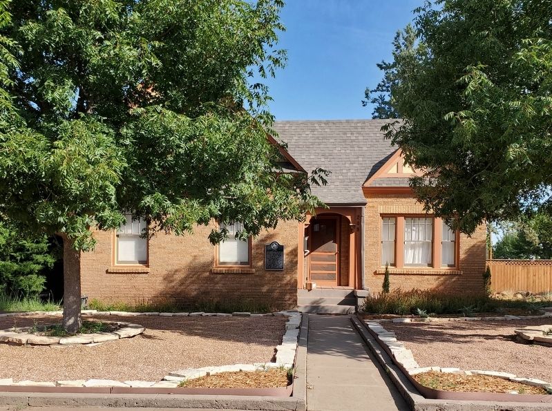
Photographed by Brian Anderson, August 31, 2019
2. J. C. Bird Marker
Credits. This page was last revised on December 21, 2019. It was originally submitted on September 7, 2019, by Brian Anderson of New Albany, Ohio. This page has been viewed 711 times since then and 86 times this year. Photos: 1, 2. submitted on September 7, 2019, by Brian Anderson of New Albany, Ohio.
