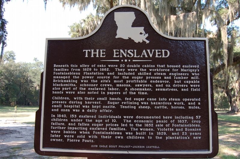
The Enslaved
Children, with their small hands, fed sugar cane into steam operated presses during harvest. Sugar refining was hazardous work, and a small hospital was kept onsite. Tending sheep, cattle, horses, mules, and oxen was a daily affair.
In 1840, 153 enslaved individuals were documented here including 57 children under the age of 10. The economic panic of 1837, crop failure, and fallen sugar prices led to the 1852 sale of Fontainebleau, further impacting enslaved families. The women, Violette and Bonnine were babies when Fontainebleau was built in 1829, and 23 years later were sold with their own children to the plantation's new owner, Pierre Poutz.
Erected 2019 by Eagle Scout Project - Jackson Cantrell.
Topics. This historical marker is listed in these topic lists: African Americans
Location. 30° 20.2′ N, 90° 2.368′ W. Marker is in Mandeville, Louisiana, in St. Tammany Parish. Marker is on Group Camp Road (State Highway 1089) one mile south of U.S. 190. Touch for map. Marker is at or near this postal address: 62883 LA-1089, Mandeville LA 70471, United States of America. Touch for directions.
Other nearby markers. At least 8 other markers are within 4 miles of this marker, measured as the crow flies. Sugar Mill Operation (about 400 feet away, measured in a direct line); Fontainebleau Plantation Sugar Mill (about 600 feet away); Native Peoples (approx. 0.2 miles away); Pottery Hill (approx. 1.3 miles away); Battle of Lake Pontchartrain (approx. 1˝ miles away); Our Lady Of The Lake Church (approx. 2.2 miles away); Greater Mandeville Veterans Memorial (approx. 3.4 miles away); Lake Pontchartrain Causeway Bridge (approx. 3.8 miles away). Touch for a list and map of all markers in Mandeville.
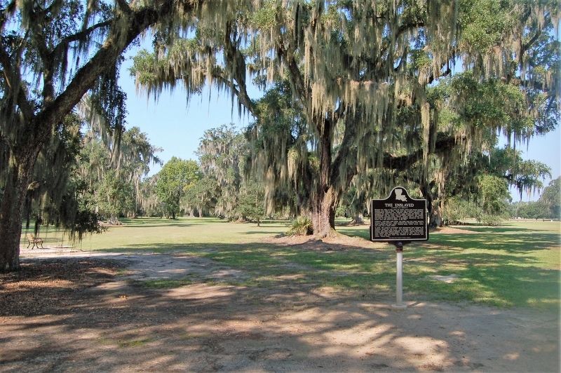
More about this marker. Located at the area know as Alley of Oaks, within the Fontainebleau State Park. Fee is required to access the park, was $3.00 USD per adult at time of visit.
Credits. This page was last revised on May 30, 2022. It was originally submitted on September 7, 2019, by Cajun Scrambler of Assumption, Louisiana. This page has been viewed 482 times since then and 40 times this year. Photos: 1, 2. submitted on September 7, 2019.

