Marker Logo
THE HISTORICAL
MARKER DATABASE
“Bite-Size Bits of Local, National, and Global History”
Wells in Delta County, Michigan — The American Midwest (Great Lakes)
 

Bill Bonifas
 
 
Bill Bonifas Marker image. Click for full size.
Photographed by Joel Seewald, August 18, 2019
1. Bill Bonifas Marker
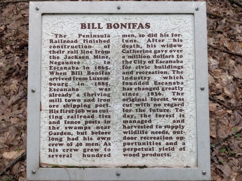
Inscription. The Peninsula Railroad finished construction of their rail line from the Jackson Mine, Negaunee to Escanaba in 1865. When Bill Bonifas arrived from Luxembourg in 1885, Escanaba was already a thriving mill town and iron ore shipping port. His first job was cutting railroad ties and fence posts in the swamps near Garden, but before long had his own crew of 40 men. As his crew grew to several hundred men , so did his fortune. After his death, his widow Catherine gave over a million dollars to the City of Escanaba for civic buildings and recreation. The industry which founded Escanaba has changed greatly since 1836. The original forest was cut with no regard for the future. Today, the forest is managed and harvested to supply wildlife needs, outdoor recreation opportunities and a perpetual yield of wood products.
 
Topics. This historical marker is listed in these topic lists: EnvironmentHorticulture & ForestryIndustry & CommerceParks & Recreational Areas. A significant historical year for this entry is 1865.
 
Location. 45° 47.917′ N, 87° 4.598′ W. Marker is in Wells, Michigan, in Delta County. It can be reached
Paid Advertisement
Click or scan to see
this page online
from Mead Road north of US Highway 2/US Highway 41/Michigan Highway 35. Marker is on a nature/historical trail behind the parking lot at the Michigan Department of Natural Resources Escanaba Forest Management Unit. Touch for map. Marker is at or near this postal address: 6833 Hwy 2 41 & M-35, Wells MI 49894, United States of America. Touch for directions.

Regionally, this marker is on Michigan’s Upper Peninsula. It is also in the American Midwest. Globally, it is in North America, in the Great North Woods, on the Great Lakes, in the Western Hemisphere, in the Western World, and in the Anglosphere. Historically, it finds itself in what was once the Northwest Territory.

Other nearby markers. At least 8 other markers are within 4 miles of this marker, measured as the crow flies: River Drives (within shouting distance of this marker); Lumberjacks (about 300 feet away, measured in a direct line); Waterpowered Sawmills (about 500 feet away); Isaac Stephenson (about 500 feet away); Forest Management (about 500 feet away); Escanaba River (about 500 feet away); 1323 Lakeshore Drive (approx. 3.8 miles away); Frank H. Van Cleve
Bill Bonifas Marker image. Click for full size.
Photographed by Joel Seewald, August 18, 2019
2. Bill Bonifas Marker
(approx. 3.8 miles away). Touch for a list and map of all markers in Wells.
 
 
Credits. This page was last revised on September 9, 2019. It was originally submitted on September 9, 2019, by Joel Seewald of Madison Heights, Michigan. This page has been viewed 496 times since then and 17 times this year. Photos:   1, 2. submitted on September 9, 2019, by Joel Seewald of Madison Heights, Michigan.

m=139275

CeraNet Cloud Computing sponsors the Historical Marker Database.
This website earns income from purchases you make after using our links to Amazon.com. We appreciate your support.
Paid Advertisement
Aug. 8, 2026